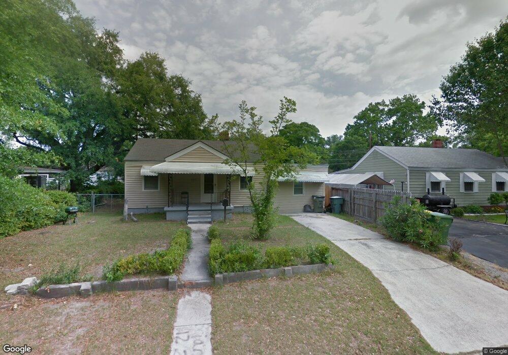
2012 Causton Bluff Rd Savannah, GA 31404
East Savannah NeighborhoodEstimated Value: $167,930 - $221,000
3
Beds
1
Bath
1,024
Sq Ft
$192/Sq Ft
Est. Value
About This Home
This home is located at 2012 Causton Bluff Rd, Savannah, GA 31404 and is currently estimated at $196,233, approximately $191 per square foot. 2012 Causton Bluff Rd is a home located in Chatham County with nearby schools including Shuman Elementary School, Hubert Middle School, and Savannah Arts Academy.
Ownership History
Date
Name
Owned For
Owner Type
Purchase Details
Closed on
Apr 14, 2006
Sold by
Not Provided
Bought by
Miller Robert L and Miller Bernice G
Current Estimated Value
Home Financials for this Owner
Home Financials are based on the most recent Mortgage that was taken out on this home.
Original Mortgage
$47,900
Outstanding Balance
$30,304
Interest Rate
8.38%
Mortgage Type
New Conventional
Estimated Equity
$165,929
Create a Home Valuation Report for This Property
The Home Valuation Report is an in-depth analysis detailing your home's value as well as a comparison with similar homes in the area
Home Values in the Area
Average Home Value in this Area
Purchase History
| Date | Buyer | Sale Price | Title Company |
|---|---|---|---|
| Miller Robert L | -- | -- | |
| Miller Robert L | -- | -- |
Source: Public Records
Mortgage History
| Date | Status | Borrower | Loan Amount |
|---|---|---|---|
| Open | Miller Robert L | $47,900 | |
| Closed | Miller Robert L | $11,950 | |
| Closed | Miller Robert L | $47,900 |
Source: Public Records
Tax History
| Year | Tax Paid | Tax Assessment Tax Assessment Total Assessment is a certain percentage of the fair market value that is determined by local assessors to be the total taxable value of land and additions on the property. | Land | Improvement |
|---|---|---|---|---|
| 2025 | $1,608 | $57,000 | $14,000 | $43,000 |
| 2024 | $18 | $58,000 | $14,000 | $44,000 |
| 2023 | $736 | $60,360 | $14,000 | $46,360 |
| 2022 | $882 | $38,240 | $6,800 | $31,440 |
| 2021 | $1,312 | $28,600 | $3,400 | $25,200 |
| 2020 | $2,167 | $23,720 | $3,400 | $20,320 |
| 2019 | $1,054 | $23,720 | $3,400 | $20,320 |
| 2018 | $626 | $19,840 | $3,400 | $16,440 |
| 2017 | $544 | $18,560 | $3,400 | $15,160 |
| 2016 | $443 | $15,200 | $3,400 | $11,800 |
| 2015 | $557 | $13,360 | $3,400 | $9,960 |
| 2014 | $773 | $13,920 | $0 | $0 |
Source: Public Records
Map
Nearby Homes
- 1923 New Mexico St
- 2031 Utah St
- 1915 Causton Bluff Rd
- 1919 Greenwood St
- 1911 Greenwood St
- 41 Lawton Ave
- 101 Forrest Ave
- 1919 Duval St
- 1901 Duval St
- 2227 Utah St
- 2231 Causton Bluff Rd
- 2217 Beech St
- 2106 Auburn St
- 320 Forrest Ave
- 0 Mosley St Unit SA345182
- 0 Mosley St Unit 10657096
- 2130 Hanson St
- 2109 Hanson St
- 2118 E Gwinnett St
- 1812 E Gwinnett St
- 2016 Causton Bluff Rd
- 2008 Causton Bluff Rd
- 2011 New Mexico St
- 2015 New Mexico St
- 2020 Causton Bluff Rd
- 2007 New Mexico St
- 2004 Causton Bluff Rd
- 2019 New Mexico St
- 2011 Causton Bluff Rd
- 2015 Causton Bluff Rd
- 2007 Causton Bluff Rd
- 2019 Causton Bluff Rd
- 2024 Causton Bluff Rd
- 2003 New Mexico St
- 2003 Causton Bluff Rd
- 2023 New Mexico St
- 2023 Causton Bluff Rd
- 2028 Causton Bluff Rd
- 2012 New Mexico St
- 2016 Utah St
Your Personal Tour Guide
Ask me questions while you tour the home.