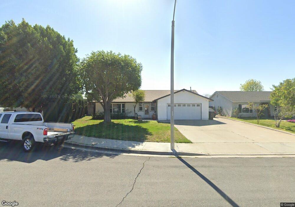
2012 E Boca Raton Ct Ontario, CA 91761
Ontario Ranch NeighborhoodEstimated Value: $697,487 - $801,000
4
Beds
2
Baths
1,537
Sq Ft
$487/Sq Ft
Est. Value
About This Home
This home is located at 2012 E Boca Raton Ct, Ontario, CA 91761 and is currently estimated at $749,122, approximately $487 per square foot. 2012 E Boca Raton Ct is a home located in San Bernardino County with nearby schools including Levi H. Dickey Elementary School, Woodcrest Junior High, and Chino High School.
Ownership History
Date
Name
Owned For
Owner Type
Purchase Details
Closed on
Jun 7, 2021
Sold by
Robles Albert F
Bought by
Robles Albert F and The Albert F Robles Jr Family
Current Estimated Value
Home Financials for this Owner
Home Financials are based on the most recent Mortgage that was taken out on this home.
Original Mortgage
$116,000
Interest Rate
2.96%
Mortgage Type
New Conventional
Purchase Details
Closed on
Aug 25, 2010
Sold by
Robles Albert F
Bought by
Robles Albert F and Albert F Roblers Jr Family Tru
Purchase Details
Closed on
Oct 30, 2003
Sold by
Robles Leticia E
Bought by
Robles Albert F
Home Financials for this Owner
Home Financials are based on the most recent Mortgage that was taken out on this home.
Original Mortgage
$179,000
Interest Rate
5.72%
Mortgage Type
Purchase Money Mortgage
Create a Home Valuation Report for This Property
The Home Valuation Report is an in-depth analysis detailing your home's value as well as a comparison with similar homes in the area
Home Values in the Area
Average Home Value in this Area
Purchase History
| Date | Buyer | Sale Price | Title Company |
|---|---|---|---|
| Robles Albert F | -- | None Available | |
| Robles Albert F | -- | Amrock Inc | |
| Robles Albert F | -- | None Available | |
| Robles Albert F | -- | Investors Title Company |
Source: Public Records
Mortgage History
| Date | Status | Borrower | Loan Amount |
|---|---|---|---|
| Closed | Robles Albert F | $116,000 | |
| Closed | Robles Albert F | $179,000 |
Source: Public Records
Tax History
| Year | Tax Paid | Tax Assessment Tax Assessment Total Assessment is a certain percentage of the fair market value that is determined by local assessors to be the total taxable value of land and additions on the property. | Land | Improvement |
|---|---|---|---|---|
| 2025 | $2,288 | $210,551 | $52,638 | $157,913 |
| 2024 | $2,226 | $206,423 | $51,606 | $154,817 |
| 2023 | $2,163 | $202,375 | $50,594 | $151,781 |
| 2022 | $2,149 | $198,407 | $49,602 | $148,805 |
| 2021 | $2,106 | $194,516 | $48,629 | $145,887 |
| 2020 | $2,078 | $192,521 | $48,130 | $144,391 |
| 2019 | $2,040 | $188,746 | $47,186 | $141,560 |
| 2018 | $1,994 | $185,045 | $46,261 | $138,784 |
| 2017 | $1,957 | $181,417 | $45,354 | $136,063 |
| 2016 | $1,828 | $177,860 | $44,465 | $133,395 |
| 2015 | $1,791 | $175,188 | $43,797 | $131,391 |
| 2014 | $1,754 | $171,756 | $42,939 | $128,817 |
Source: Public Records
Map
Nearby Homes
- 2714 S Pebble Beach Ct
- 2620 S Quaker Ridge Place
- 1855 E Riverside Dr Unit 252
- 1855 E Riverside Dr Unit 191
- 1855 E Riverside Dr Unit 130
- 1855 E Riverside Dr Unit Space 405
- 1855 E Riverside Dr Unit 268
- 1855 E Riverside Dr Unit 392
- 1855 E Riverside Dr Unit 169
- 1855 E Riverside Dr
- 1855 E Riverside Dr Unit 264
- 11130 E Riverside Dr
- 2839 S Castle Harbour Place
- 2905 S Castle Harbour Place
- 2691 Cloudview Privado
- 3179 Sprout Paseo
- 2685 Cloudview Privado
- 3240 Homestead Paseo
- 2697 Cloudview Privado
- 2677 Cloudview Privado
- 2008 E Boca Raton Ct
- 2020 E Boca Raton Ct
- 2011 E Bermuda Dunes Ct
- 2019 E Bermuda Dunes Ct
- 2009 E Bermuda Dunes Ct
- 2024 E Boca Raton Ct
- 2004 E Boca Raton Ct
- 2011 E Boca Raton Ct
- 2003 E Bermuda Dunes Ct
- 2007 E Boca Raton Ct
- 2023 E Boca Raton Ct
- 2023 E Bermuda Dunes Ct
- 2019 E Boca Raton Ct
- 2003 E Boca Raton Ct
- 2614 S Tiara Ave
- 2620 S Tiara Ave
- 2610 S Tiara Ave
- 2622 S Tiara Ave
- 2012 E Cherry Hill Ct
- 2012 E Bermuda Dunes Ct
Your Personal Tour Guide
Ask me questions while you tour the home.