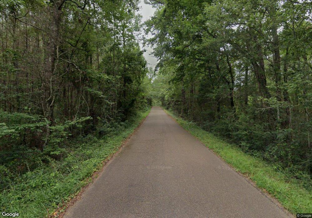
2012 Perrott Rd McComb, MS 39648
Estimated Value: $190,000 - $330,000
4
Beds
3
Baths
2,730
Sq Ft
$99/Sq Ft
Est. Value
About This Home
This home is located at 2012 Perrott Rd, McComb, MS 39648 and is currently estimated at $270,423, approximately $99 per square foot. 2012 Perrott Rd is a home located in Pike County with nearby schools including Otken Elementary School, Higgins Middle School, and Denman Junior High School.
Ownership History
Date
Name
Owned For
Owner Type
Purchase Details
Closed on
Jul 21, 2015
Sold by
Ashmore Billy J and Ashmore Constance S
Bought by
Jenkins Franl and Jenkins Martha M
Current Estimated Value
Purchase Details
Closed on
Dec 14, 2011
Sold by
Woolard Bonnie M and Gatlin Bonnie M
Bought by
Ashmore Billy J and Ashmore Constance S
Home Financials for this Owner
Home Financials are based on the most recent Mortgage that was taken out on this home.
Original Mortgage
$15,000
Interest Rate
4.06%
Mortgage Type
New Conventional
Create a Home Valuation Report for This Property
The Home Valuation Report is an in-depth analysis detailing your home's value as well as a comparison with similar homes in the area
Purchase History
| Date | Buyer | Sale Price | Title Company |
|---|---|---|---|
| Jenkins Franl | -- | None Available | |
| Ashmore Billy J | -- | None Available |
Source: Public Records
Mortgage History
| Date | Status | Borrower | Loan Amount |
|---|---|---|---|
| Previous Owner | Ashmore Billy J | $15,000 |
Source: Public Records
Tax History Compared to Growth
Tax History
| Year | Tax Paid | Tax Assessment Tax Assessment Total Assessment is a certain percentage of the fair market value that is determined by local assessors to be the total taxable value of land and additions on the property. | Land | Improvement |
|---|---|---|---|---|
| 2025 | $736 | $15,544 | $0 | $0 |
| 2024 | $740 | $12,972 | $0 | $0 |
| 2023 | $729 | $12,975 | $0 | $0 |
| 2022 | $1,369 | $12,767 | $0 | $0 |
| 2021 | $1,363 | $12,770 | $0 | $0 |
| 2020 | $1,404 | $13,080 | $0 | $0 |
| 2019 | $1,358 | $13,083 | $0 | $0 |
| 2018 | $1,334 | $13,086 | $0 | $0 |
| 2017 | $1,347 | $13,085 | $0 | $0 |
| 2016 | $1,323 | $13,078 | $0 | $0 |
| 2015 | -- | $13,082 | $0 | $0 |
| 2014 | -- | $14,830 | $0 | $0 |
| 2013 | -- | $14,830 | $0 | $0 |
Source: Public Records
Map
Nearby Homes
- 0 Anna Dr
- 816 Hart Rd
- 506 Oakbrook Cir
- 1304 24th St
- 502 Faulkner Dr
- 1409 Vermont Ave
- Lot 15 Business Center Dr
- Lot 3 Business Center Dr
- Lot 5 Business Center Dr
- Lot 14 Business Center Dr
- Lot 4 Business Center Dr
- 300 Wilson Dr
- 138 Woodland Ridge Dr
- 0 Delaware
- 4149 Hwy 24 W
- 1206 26th St
- TBD Integrity Rd Lot #13
- TDB Delaware Ave
- 3092 Mccomb Crossing
- 306 Cherokee Dr
- 2018 Perrott Rd
- 2009 Perrott Rd
- 1198 Perrott Rd
- 2026 Perrott Rd
- 3033 Park Drive Extension
- 3033 Park Drive Extension
- 3033 Park Drive Extension
- 2031 Perrott Rd
- 1032 Plank Ln
- 1031 Plank Ln
- 2039 Perrott Rd
- 2195 Park Drive Extension
- 1026 Plank Ln
- 1007 Plank Ln
- 1018 Plank Ln
- 2175 Park Drive Extension
- 3030 Park Drive Extension
- 3030 Park Drive Extension
- 1006 Plank Ln
- 4141 Martin Rd
