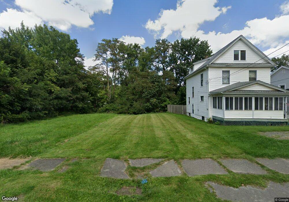
2012 Pointview Ave Youngstown, OH 44502
Buckeye Plat NeighborhoodEstimated Value: $19,508 - $133,000
--
Bed
1
Bath
--
Sq Ft
5,401
Sq Ft Lot
About This Home
This home is located at 2012 Pointview Ave, Youngstown, OH 44502 and is currently estimated at $91,503. 2012 Pointview Ave is a home located in Mahoning County with nearby schools including Paul C. Bunn Elementary School, Chaney High School, and Summit Academy Secondary School - Youngstown.
Ownership History
Date
Name
Owned For
Owner Type
Purchase Details
Closed on
Aug 7, 2024
Sold by
Nevling Alan M
Bought by
Nittoli Peter Carl
Current Estimated Value
Purchase Details
Closed on
May 25, 2010
Sold by
Milanese Homes Llc
Bought by
Nezling Alan M and Nezling Suzanne A
Purchase Details
Closed on
Apr 7, 2003
Sold by
Neapolitan Carmen and Neapolitan Jennifer
Bought by
Mirich Mark A
Purchase Details
Closed on
Apr 25, 2002
Sold by
Scarnecchia Robert A
Bought by
Emc Mtg Corp
Purchase Details
Closed on
Jan 15, 1988
Bought by
Scarnecchia Robert A
Create a Home Valuation Report for This Property
The Home Valuation Report is an in-depth analysis detailing your home's value as well as a comparison with similar homes in the area
Home Values in the Area
Average Home Value in this Area
Purchase History
| Date | Buyer | Sale Price | Title Company |
|---|---|---|---|
| Nittoli Peter Carl | $1,000 | None Listed On Document | |
| Nittoli Peter Carl | $1,000 | None Listed On Document | |
| Nezling Alan M | $8,800 | Attorney | |
| Mirich Mark A | -- | -- | |
| Emc Mtg Corp | $21,058 | -- | |
| Scarnecchia Robert A | -- | -- |
Source: Public Records
Tax History Compared to Growth
Tax History
| Year | Tax Paid | Tax Assessment Tax Assessment Total Assessment is a certain percentage of the fair market value that is determined by local assessors to be the total taxable value of land and additions on the property. | Land | Improvement |
|---|---|---|---|---|
| 2024 | $16 | $330 | $330 | -- |
| 2023 | $16 | $330 | $330 | $0 |
| 2022 | $26 | $420 | $420 | $0 |
| 2021 | $26 | $420 | $420 | $0 |
| 2020 | $27 | $420 | $420 | $0 |
| 2019 | $27 | $380 | $380 | $0 |
| 2018 | $327 | $380 | $380 | $0 |
| 2017 | $177 | $380 | $380 | $0 |
| 2016 | $592 | $530 | $530 | $0 |
| 2015 | $616 | $4,380 | $750 | $3,630 |
| 2014 | $284 | $4,380 | $750 | $3,630 |
| 2013 | $499 | $7,830 | $750 | $7,080 |
Source: Public Records
Map
Nearby Homes
- 2016 Pointview Ave
- 2007 E Midlothian Blvd
- 1954 Everett Ave
- 3509 Lenox Ave
- 0 Crescent Dr Unit 5124984
- 3448 Neilson Ave
- 0 Weston Ave
- 1928 Medford Ave
- 3337 Powers Way
- 2510 E Midlothian Blvd
- 2001 Brownlee Ave
- 2562 Mount Vernon Ave
- 1653 Brownlee Ave
- 2577 E Midlothian Blvd
- 1654 Wakefield Ave
- 3222 Sheridan Rd
- 3551 Shirley Rd
- 1633 Wakefield Ave
- 2743 Mount Vernon Ave
- 4528 Sheridan Rd
- 2004 Pointview Ave
- 2020 Pointview Ave
- 3659 Irma St
- 2024 Pointview Ave
- 2015 Pointview Ave
- 2009 Pointview Ave
- 2005 Pointview Ave
- 3671 Irma St
- 2028 Pointview Ave
- 2019 Pointview Ave
- 2023 Pointview Ave
- 3666 Neilson Ave
- 2025 Pointview Ave
- 3664 Neilson Ave
- 2032 Pointview Ave
- 3649 Irma St
- 3701 Irma St
- 1936 Pointview Ave
- 2027 Pointview Ave
- 3656 Neilson Ave