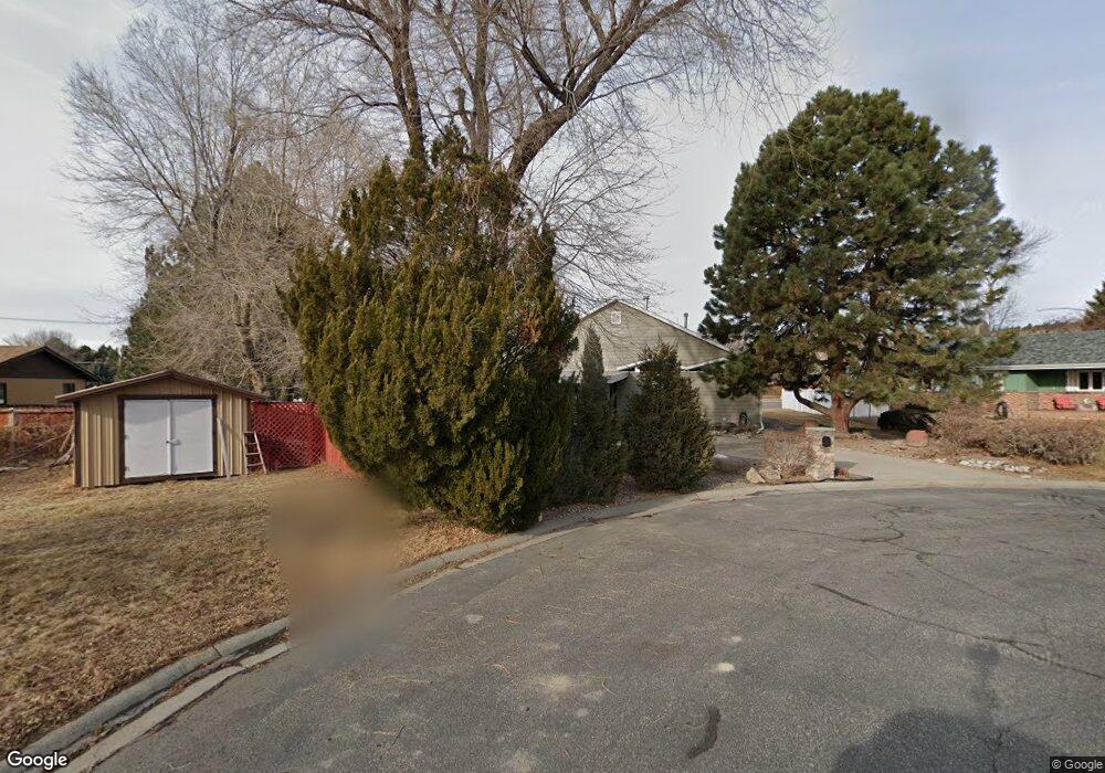
2012 Ronda Cir Billings, MT 59102
North Central Billings NeighborhoodEstimated Value: $336,000 - $363,000
3
Beds
2
Baths
1,344
Sq Ft
$260/Sq Ft
Est. Value
About This Home
This home is located at 2012 Ronda Cir, Billings, MT 59102 and is currently estimated at $349,158, approximately $259 per square foot. 2012 Ronda Cir is a home located in Yellowstone County with nearby schools including Poly Drive School, Will James Junior High School, and Billings Senior High School.
Ownership History
Date
Name
Owned For
Owner Type
Purchase Details
Closed on
Jul 17, 2009
Sold by
Anderson Michael D and Anderson Rebekah L
Bought by
Labeau Emaline M
Current Estimated Value
Home Financials for this Owner
Home Financials are based on the most recent Mortgage that was taken out on this home.
Original Mortgage
$154,400
Outstanding Balance
$100,464
Interest Rate
5.25%
Mortgage Type
Purchase Money Mortgage
Estimated Equity
$248,694
Purchase Details
Closed on
Mar 10, 2008
Sold by
Everett Laura J
Bought by
Anderson Michael D and Anderson Rebekah L
Home Financials for this Owner
Home Financials are based on the most recent Mortgage that was taken out on this home.
Original Mortgage
$110,221
Interest Rate
5.65%
Mortgage Type
Purchase Money Mortgage
Create a Home Valuation Report for This Property
The Home Valuation Report is an in-depth analysis detailing your home's value as well as a comparison with similar homes in the area
Home Values in the Area
Average Home Value in this Area
Purchase History
| Date | Buyer | Sale Price | Title Company |
|---|---|---|---|
| Labeau Emaline M | -- | None Available | |
| Anderson Michael D | -- | None Available |
Source: Public Records
Mortgage History
| Date | Status | Borrower | Loan Amount |
|---|---|---|---|
| Open | Labeau Emaline M | $154,400 | |
| Previous Owner | Anderson Michael D | $110,221 |
Source: Public Records
Tax History Compared to Growth
Tax History
| Year | Tax Paid | Tax Assessment Tax Assessment Total Assessment is a certain percentage of the fair market value that is determined by local assessors to be the total taxable value of land and additions on the property. | Land | Improvement |
|---|---|---|---|---|
| 2025 | $787 | $340,000 | $60,195 | $279,805 |
| 2024 | $787 | $304,200 | $57,103 | $247,097 |
| 2023 | $1,570 | $304,200 | $57,103 | $247,097 |
| 2022 | $1,196 | $251,800 | $54,892 | $196,908 |
| 2021 | $1,725 | $251,800 | $0 | $0 |
| 2020 | $989 | $233,800 | $0 | $0 |
| 2019 | $948 | $233,800 | $0 | $0 |
| 2018 | $1,044 | $242,900 | $0 | $0 |
| 2017 | $767 | $242,900 | $0 | $0 |
| 2016 | $1,722 | $219,900 | $0 | $0 |
| 2015 | $1,684 | $219,900 | $0 | $0 |
| 2014 | $1,929 | $100,276 | $0 | $0 |
Source: Public Records
Map
Nearby Homes
- 1907 Patricia Ln
- 0 Julianne Dr Unit 356457
- 2820 Boulder Ave
- 3033 Avenue F
- 1820 Patricia Ln
- 1825 28th St W
- 3107 Poly Dr
- 2516 Lyndale Ln
- 2420 Elizabeth St
- 2060 Edgewood Dr
- 2717 Patricia Ln
- 2624 Southridge Dr
- 5915 Southridge Dr
- 2903 Belvedere Dr
- 1606 Golden Blvd
- 2422 Brentwood Ln
- 1524 Golden Blvd
- 1125 30th St W
- 1921 Eastridge Dr
- 2730 Gregory Dr S
- 2013 Ronda Cir
- 2009 Rehberg Ln
- 2002 Ronda Cir
- 2011 Ronda Cir
- 2016 Rehberg Ln
- 2001 Ronda Cir
- 2070 Rehberg Ln
- 2936 Colton Blvd
- 3015 Parkhill Dr
- 2930 Colton Blvd
- 2002 Glendale Ln
- 2906 Colton Blvd
- 3010 Colton Blvd
- 2928 Parkhill Dr
- 2936 Parkhill Dr
- 2938 Parkhill Dr
- 2932 Parkhill Dr
- 2924 Parkhill Dr
- 2075 Faye Cir
- 2020 Glendale Ln