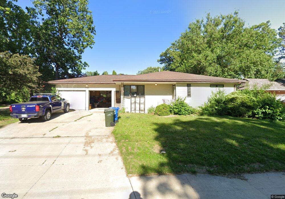
2012 Rownd St Cedar Falls, IA 50613
Estimated Value: $246,000 - $284,000
2
Beds
3
Baths
1,448
Sq Ft
$184/Sq Ft
Est. Value
About This Home
This home is located at 2012 Rownd St, Cedar Falls, IA 50613 and is currently estimated at $266,365, approximately $183 per square foot. 2012 Rownd St is a home located in Black Hawk County with nearby schools including Cedar Heights Elementary School, Peet Junior High School, and Cedar Falls High School.
Ownership History
Date
Name
Owned For
Owner Type
Purchase Details
Closed on
Sep 29, 2008
Sold by
Barkhoff Steven B and Barkhoff Keevin E
Bought by
Chapin Jeff R and Morris Ashley S
Current Estimated Value
Home Financials for this Owner
Home Financials are based on the most recent Mortgage that was taken out on this home.
Original Mortgage
$156,655
Outstanding Balance
$103,747
Interest Rate
6.43%
Mortgage Type
New Conventional
Estimated Equity
$162,618
Create a Home Valuation Report for This Property
The Home Valuation Report is an in-depth analysis detailing your home's value as well as a comparison with similar homes in the area
Home Values in the Area
Average Home Value in this Area
Purchase History
| Date | Buyer | Sale Price | Title Company |
|---|---|---|---|
| Chapin Jeff R | $165,000 | None Available |
Source: Public Records
Mortgage History
| Date | Status | Borrower | Loan Amount |
|---|---|---|---|
| Open | Chapin Jeff R | $156,655 |
Source: Public Records
Tax History Compared to Growth
Tax History
| Year | Tax Paid | Tax Assessment Tax Assessment Total Assessment is a certain percentage of the fair market value that is determined by local assessors to be the total taxable value of land and additions on the property. | Land | Improvement |
|---|---|---|---|---|
| 2025 | $3,704 | $259,210 | $23,100 | $236,110 |
| 2024 | $3,704 | $240,440 | $23,100 | $217,340 |
| 2023 | $3,528 | $247,350 | $23,100 | $224,250 |
| 2022 | $3,528 | $199,960 | $23,100 | $176,860 |
| 2021 | $3,569 | $199,960 | $23,100 | $176,860 |
| 2020 | $3,288 | $188,970 | $19,800 | $169,170 |
| 2019 | $3,288 | $188,970 | $19,800 | $169,170 |
| 2018 | $3,332 | $188,970 | $19,800 | $169,170 |
| 2017 | $3,406 | $188,970 | $19,800 | $169,170 |
| 2016 | $3,186 | $188,970 | $19,800 | $169,170 |
| 2015 | $3,186 | $188,970 | $19,800 | $169,170 |
| 2014 | $3,240 | $181,280 | $19,800 | $161,480 |
Source: Public Records
Map
Nearby Homes
- 2309 California St
- 1830 Madison St
- 1916 Ashland Ave
- 1927 Ashland Ave
- 2513 Ashland Ave
- 2522 Sunset Blvd
- 1513 Cherry Ln
- 2601 Victory Dr
- 1316 Sunnyside Dr
- 1221 Parker St
- 1304 Grand Blvd
- 2804 Neola St
- 2727 Cedar Heights Dr
- 1117 Melrose Dr
- 3023 Cottonwood Ln
- 3123 Neola St
- 1802 Waterloo Rd
- 206 Loma St
- 3709 Cadillac Dr
- 2912 Tucson Dr
- 2102 Rownd St
- 2105 Hickory Ln
- 2101 Hickory Ln
- 2111 Hickory Ln
- 2110 Rownd St
- 2121 Hickory Ln
- 2101 Rownd St
- 2207 Rainbow Dr
- 2104 Rainbow Dr
- 2105 Rownd St
- 2114 Hickory Ln
- 2200 Rainbow Dr
- 2116 Rainbow Dr
- 2204 Rainbow Dr
- 2109 Rownd St
- 2118 Hickory Ln
- 2058 Rainbow Dr
- 2118 Rownd St
- 2122 Hickory Ln
- 2016 Rainbow Dr