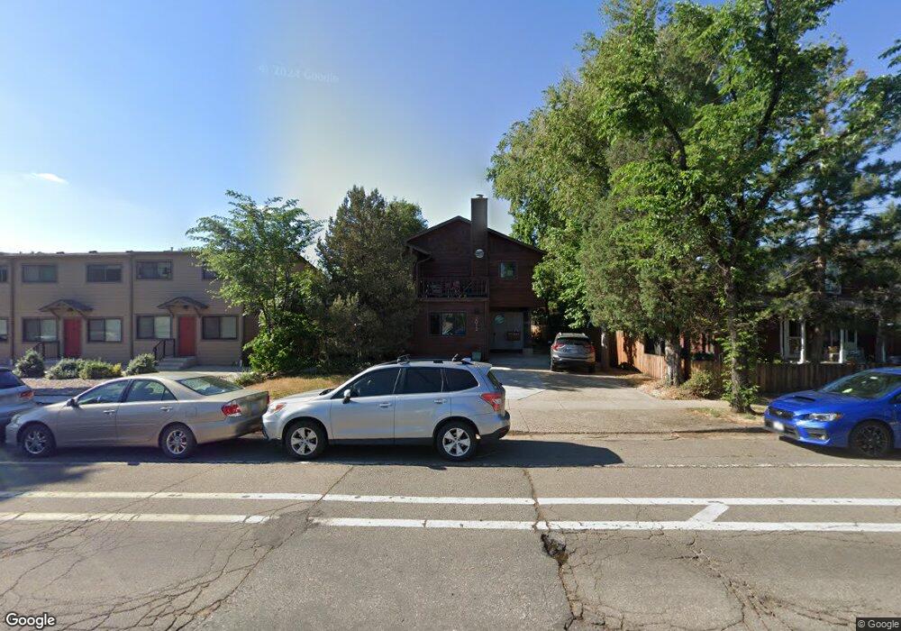
2012 Spruce St Unit 5 Boulder, CO 80302
Whittier NeighborhoodEstimated Value: $342,174 - $685,000
1
Bed
1
Bath
420
Sq Ft
$1,131/Sq Ft
Est. Value
About This Home
This home is located at 2012 Spruce St Unit 5, Boulder, CO 80302 and is currently estimated at $475,044, approximately $1,131 per square foot. 2012 Spruce St Unit 5 is a home located in Boulder County with nearby schools including Whittier Elementary School, Casey Middle School, and Boulder High School.
Ownership History
Date
Name
Owned For
Owner Type
Purchase Details
Closed on
Sep 7, 1999
Sold by
Wells Norman B
Bought by
Wells Norman B
Current Estimated Value
Purchase Details
Closed on
May 3, 1989
Bought by
Wells Cathcart Living Trust
Purchase Details
Closed on
May 3, 1988
Bought by
Wells Cathcart Living Trust
Purchase Details
Closed on
Jun 24, 1985
Bought by
Wells Cathcart Living Trust
Create a Home Valuation Report for This Property
The Home Valuation Report is an in-depth analysis detailing your home's value as well as a comparison with similar homes in the area
Home Values in the Area
Average Home Value in this Area
Purchase History
| Date | Buyer | Sale Price | Title Company |
|---|---|---|---|
| Wells Norman B | -- | -- | |
| Wells Cathcart Living Trust | $33,700 | -- | |
| Wells Cathcart Living Trust | -- | -- | |
| Wells Cathcart Living Trust | $93,000 | -- |
Source: Public Records
Tax History
| Year | Tax Paid | Tax Assessment Tax Assessment Total Assessment is a certain percentage of the fair market value that is determined by local assessors to be the total taxable value of land and additions on the property. | Land | Improvement |
|---|---|---|---|---|
| 2025 | $1,785 | $28,675 | -- | $28,675 |
| 2024 | $1,785 | $28,675 | -- | $28,675 |
| 2023 | $1,752 | $19,416 | -- | $23,101 |
| 2022 | $1,883 | $19,474 | $0 | $19,474 |
| 2021 | $1,799 | $20,034 | $0 | $20,034 |
| 2020 | $2,094 | $24,060 | $0 | $24,060 |
| 2019 | $2,062 | $24,060 | $0 | $24,060 |
| 2018 | $1,729 | $19,937 | $0 | $19,937 |
| 2017 | $1,674 | $22,041 | $0 | $22,041 |
| 2016 | $1,240 | $14,328 | $0 | $14,328 |
| 2015 | $1,175 | $12,362 | $0 | $12,362 |
| 2014 | $1,063 | $12,362 | $0 | $12,362 |
Source: Public Records
Map
Nearby Homes
- 1938 Spruce St
- 2230 20th St
- 1843 Walnut St Unit B
- 1837 Walnut St Unit E
- 2324 19th St
- 1709 Pine St Unit 3
- 2201 Pearl St Unit 224
- 2201 Pearl St Unit 118
- 2225 Pine St
- 1707 Walnut St Unit 203
- 1707 Walnut St Unit 307
- 1707 Walnut St Unit 208
- 1707 Walnut St Unit 308
- 1707 Walnut St Unit 209
- 1707 Walnut St Unit 101
- 1707 Walnut St Unit 103
- 1707 Walnut St Unit 207
- 1707 Walnut St Unit 206
- 1707 Walnut St Unit 202
- 2447 20th St
- 2012 Spruce St Unit 4
- 2012 Spruce St Unit 3
- 2012 Spruce St Unit 2
- 2012 Spruce St Unit 1
- 2002 Spruce St
- 2030 Spruce St
- 2032 Spruce St Unit 2034
- 2005 Pearl St
- 2005 Spruce St
- 2030 20th St Unit 8
- 2030 20th St Unit 6
- 2030 20th St Unit 5
- 2030 20th St Unit 4
- 2030 20th St Unit 3
- 2030 20th St Unit 2
- 2030 20th St Unit 1
- 2030 20th St
- 2015 Pearl St
- 2040 Spruce St
- 1926 Spruce St
Your Personal Tour Guide
Ask me questions while you tour the home.