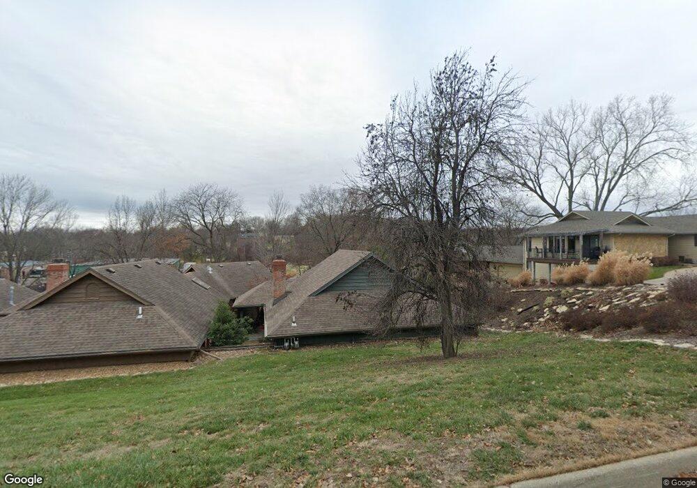
2013 Crossgate Dr Lawrence, KS 66047
Estimated Value: $273,120 - $308,000
3
Beds
2
Baths
1,653
Sq Ft
$174/Sq Ft
Est. Value
About This Home
This home is located at 2013 Crossgate Dr, Lawrence, KS 66047 and is currently estimated at $288,030, approximately $174 per square foot. 2013 Crossgate Dr is a home located in Douglas County with nearby schools including Sunflower Elementary School, Southwest Middle School, and Lawrence High School.
Ownership History
Date
Name
Owned For
Owner Type
Purchase Details
Closed on
Feb 12, 2021
Sold by
Paden Mary Zender and The Zender Family Trust
Bought by
Jenkins James B and Jenkins Carol K
Current Estimated Value
Home Financials for this Owner
Home Financials are based on the most recent Mortgage that was taken out on this home.
Original Mortgage
$173,700
Outstanding Balance
$155,356
Interest Rate
2.7%
Mortgage Type
New Conventional
Estimated Equity
$132,674
Purchase Details
Closed on
Aug 11, 2004
Sold by
Zender Paul E and Zender Sandra W
Bought by
Zender Paul E and Zender Sandra W
Create a Home Valuation Report for This Property
The Home Valuation Report is an in-depth analysis detailing your home's value as well as a comparison with similar homes in the area
Purchase History
| Date | Buyer | Sale Price | Title Company |
|---|---|---|---|
| Jenkins James B | -- | Security 1St Title | |
| Zender Paul E | -- | -- |
Source: Public Records
Mortgage History
| Date | Status | Borrower | Loan Amount |
|---|---|---|---|
| Open | Jenkins James B | $173,700 |
Source: Public Records
Tax History
| Year | Tax Paid | Tax Assessment Tax Assessment Total Assessment is a certain percentage of the fair market value that is determined by local assessors to be the total taxable value of land and additions on the property. | Land | Improvement |
|---|---|---|---|---|
| 2025 | $3,754 | $30,625 | $5,750 | $24,875 |
| 2024 | $3,594 | $29,360 | $4,600 | $24,760 |
| 2023 | $3,302 | $25,921 | $4,600 | $21,321 |
| 2022 | $2,856 | $22,333 | $3,679 | $18,654 |
| 2021 | $2,836 | $21,344 | $3,679 | $17,665 |
| 2020 | $2,700 | $20,436 | $3,679 | $16,757 |
| 2019 | $2,655 | $20,125 | $3,679 | $16,446 |
| 2018 | $2,582 | $19,435 | $3,679 | $15,756 |
| 2017 | $2,476 | $18,446 | $3,679 | $14,767 |
| 2016 | $2,399 | $18,665 | $3,679 | $14,986 |
| 2015 | $1,231 | $19,148 | $3,679 | $15,469 |
| 2014 | $1,164 | $18,297 | $3,679 | $14,618 |
Source: Public Records
Map
Nearby Homes
- 2018 Crossgate Dr
- 1908 Crossgate Dr
- 3700 Quail Creek Ct
- 1900 Inverness Dr
- 1840 Quail Creek Dr
- 4206 Nicklaus Dr
- 2002 Quail Creek Dr
- 4500 Turnberry Dr
- 4412 Nicklaus Dr
- 1606 Cypress Point Dr
- 4142 Blackjack Oak Dr
- 2101 Riviera Dr
- 1503 Crossgate Dr
- 1501 Crossgate Dr
- 1609 Prestwick Dr
- 3621 Brush Creek Dr
- 2615 Red Cedar Dr
- 4720 Carmel Place
- 1407 Brighton Cir
- 2235 Vail Way
- 2011 Crossgate Dr
- 2009 Crossgate Dr
- 2017 Crossgate Dr
- 2019 Crossgate Dr
- 2007 Crossgate Dr
- 2012 Crossgate Dr
- 2005 Crossgate Dr
- 2016 Crossgate Dr
- 2013 Greenbrier Dr
- 2008 Greenbrier Dr
- 2004 Crossgate Dr
- 2012 Greenbrier Dr
- 2101 Greenbrier Dr
- 2104 Crossgate Cir
- 2100 Crossgate Cir
- 2003 Crossgate Dr
- 2100 Crossgate Dr
- 2016 Greenbrier Dr
- 2001 Crossgate Dr
- 2103 Crossgate Cir
Your Personal Tour Guide
Ask me questions while you tour the home.