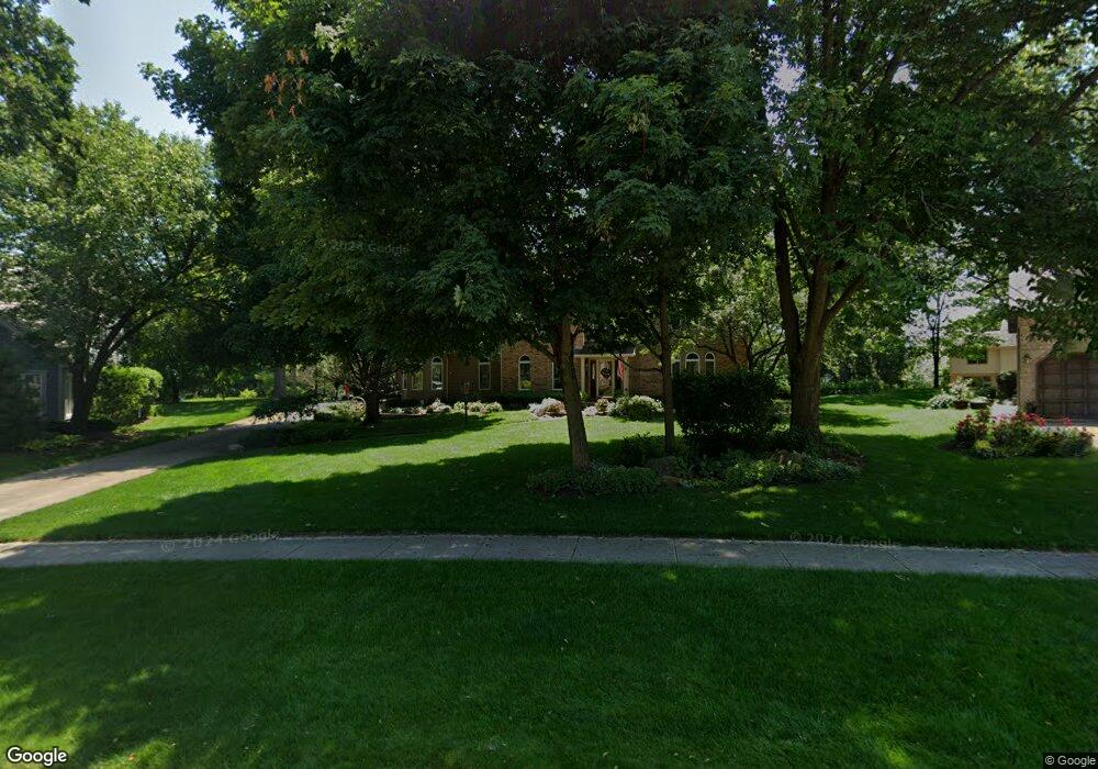
2013 Mustang Dr Naperville, IL 60565
Greene Valley NeighborhoodEstimated Value: $999,000 - $1,064,000
--
Bed
--
Bath
4,381
Sq Ft
$235/Sq Ft
Est. Value
About This Home
This home is located at 2013 Mustang Dr, Naperville, IL 60565 and is currently estimated at $1,028,177, approximately $234 per square foot. 2013 Mustang Dr is a home located in DuPage County with nearby schools including Ranch View Elementary School, Kennedy Junior High School, and Naperville Central High School.
Ownership History
Date
Name
Owned For
Owner Type
Purchase Details
Closed on
Dec 10, 1993
Sold by
Goolik Patricia K and Goolik George M
Bought by
Goolik George M and Goolik Patricia K
Current Estimated Value
Purchase Details
Closed on
Dec 7, 1993
Sold by
Goolik George M and Goolik Patricia K
Bought by
Goolik Patricia K and Goolik George M
Create a Home Valuation Report for This Property
The Home Valuation Report is an in-depth analysis detailing your home's value as well as a comparison with similar homes in the area
Home Values in the Area
Average Home Value in this Area
Purchase History
| Date | Buyer | Sale Price | Title Company |
|---|---|---|---|
| Goolik George M | -- | -- | |
| Goolik Patricia K | -- | -- |
Source: Public Records
Tax History Compared to Growth
Tax History
| Year | Tax Paid | Tax Assessment Tax Assessment Total Assessment is a certain percentage of the fair market value that is determined by local assessors to be the total taxable value of land and additions on the property. | Land | Improvement |
|---|---|---|---|---|
| 2024 | $17,771 | $306,094 | $80,939 | $225,155 |
| 2023 | $17,113 | $279,360 | $73,870 | $205,490 |
| 2022 | $16,213 | $261,520 | $69,150 | $192,370 |
| 2021 | $15,619 | $251,630 | $66,530 | $185,100 |
| 2020 | $15,285 | $247,100 | $65,330 | $181,770 |
| 2019 | $14,837 | $236,410 | $62,500 | $173,910 |
| 2018 | $16,565 | $262,590 | $79,530 | $183,060 |
| 2017 | $16,233 | $253,740 | $76,850 | $176,890 |
| 2016 | $15,909 | $244,570 | $74,070 | $170,500 |
| 2015 | $16,835 | $244,540 | $74,060 | $170,480 |
| 2014 | $17,383 | $244,540 | $74,060 | $170,480 |
| 2013 | $17,122 | $245,130 | $74,240 | $170,890 |
Source: Public Records
Map
Nearby Homes
- 1817 Appaloosa Dr
- 1704 Kenyon Dr
- 1519 77th St
- 23W731 Hobson Rd
- 23W711 Hobson Rd
- 1340 Auburn Ave
- 1323 Auburn Ave
- 1216 Tranquility Ct
- 7S610 Lynn Dr
- 6812 Greene Rd
- 2248 Aster Ct
- 3207 Foxridge Ct
- 3425 83rd St Unit D5
- 1006 Bankfield Ct
- 707 Crestview Dr
- 816 Spindletree Ave
- 1449 Whitespire Ct Unit 5104
- 6551 Shagbark Ct Unit 2
- 621 Bourbon Ct
- 2230 Keim Rd Unit 3B
- 2009 Mustang Dr
- 1677 Greene Ridge Dr
- 1681 Greene Ridge Dr
- 2005 Mustang Dr
- 2021 Mustang Dr
- 1673 Greene Ridge Dr
- 2008 Mustang Dr
- 1685 Greene Ridge Dr
- 2004 Mustang Dr
- 1650 Friar Ln
- 2025 Mustang Dr
- 2028 Mustang Dr
- 1654 Friar Ln
- 2000 Mustang Dr
- 8S771 Yackley Ave
- 1828 Arabian Ave
- 2029 Mustang Dr
- 8S721 Yackley Ave
- 9S004 Yackley Ave
- 1918 Morgan Cir