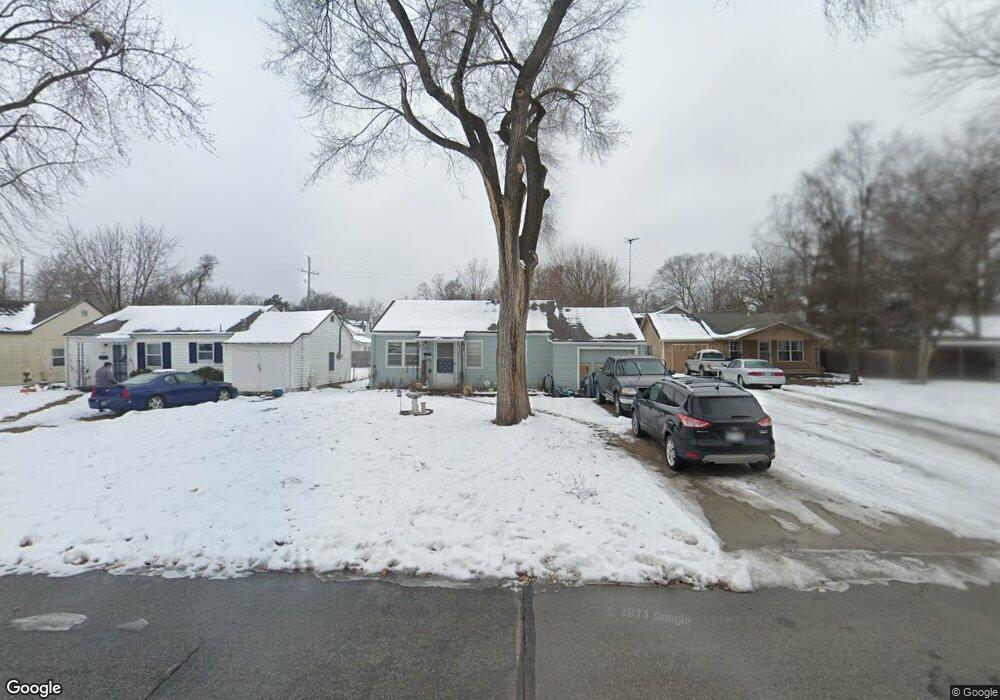
2013 Rhode Island St Lawrence, KS 66046
Barker NeighborhoodEstimated Value: $181,000 - $230,000
2
Beds
1
Bath
672
Sq Ft
$305/Sq Ft
Est. Value
About This Home
This home is located at 2013 Rhode Island St, Lawrence, KS 66046 and is currently estimated at $205,116, approximately $305 per square foot. 2013 Rhode Island St is a home located in Douglas County with nearby schools including Cordley Elementary School, Liberty Memorial Central Middle School, and Lawrence High School.
Ownership History
Date
Name
Owned For
Owner Type
Purchase Details
Closed on
May 13, 2009
Sold by
Turner Donna D
Bought by
Hack Alan G and Hack Susan D
Current Estimated Value
Home Financials for this Owner
Home Financials are based on the most recent Mortgage that was taken out on this home.
Original Mortgage
$68,000
Outstanding Balance
$42,779
Interest Rate
4.77%
Mortgage Type
Future Advance Clause Open End Mortgage
Estimated Equity
$162,337
Create a Home Valuation Report for This Property
The Home Valuation Report is an in-depth analysis detailing your home's value as well as a comparison with similar homes in the area
Home Values in the Area
Average Home Value in this Area
Purchase History
| Date | Buyer | Sale Price | Title Company |
|---|---|---|---|
| Hack Alan G | $85,000 | First American Title |
Source: Public Records
Mortgage History
| Date | Status | Borrower | Loan Amount |
|---|---|---|---|
| Open | Hack Alan G | $68,000 |
Source: Public Records
Tax History Compared to Growth
Tax History
| Year | Tax Paid | Tax Assessment Tax Assessment Total Assessment is a certain percentage of the fair market value that is determined by local assessors to be the total taxable value of land and additions on the property. | Land | Improvement |
|---|---|---|---|---|
| 2025 | $2,982 | $24,599 | $10,350 | $14,249 |
| 2024 | $2,770 | $22,931 | $8,625 | $14,306 |
| 2023 | $2,698 | $21,310 | $6,900 | $14,410 |
| 2022 | $2,253 | $17,768 | $4,600 | $13,168 |
| 2021 | $2,037 | $15,422 | $4,368 | $11,054 |
| 2020 | $2,008 | $15,284 | $4,368 | $10,916 |
| 2019 | $1,936 | $14,766 | $3,798 | $10,968 |
| 2018 | $1,882 | $14,260 | $3,571 | $10,689 |
| 2017 | $1,891 | $14,168 | $3,571 | $10,597 |
| 2016 | $1,734 | $13,593 | $4,884 | $8,709 |
| 2015 | -- | $13,363 | $4,884 | $8,479 |
| 2014 | -- | $13,133 | $4,884 | $8,249 |
Source: Public Records
Map
Nearby Homes
- 2028 New Hampshire St
- 2045 Massachusetts St
- 331 E 19th St
- 2046 Kentucky St
- 2116 Kentucky St
- 5701 Johnson Ave
- 2301 Massachusetts St
- 1625 Pennsylvania St
- 1616 Louisiana St
- 1729 Mississippi St
- 1424 New York St
- 923 Ward Ave
- 1103 E 18th St
- 1807 Alabama St
- 1829 Brook St
- 314 Oklahoma St
- 0 Delaware St
- 1327 New Jersey St
- 1736 Brook St
- 1320 Pennsylvania St
- 2009 Rhode Island St
- 2003 Rhode Island St
- 2021 Rhode Island St
- 2016 New Hampshire St
- 2020 New Hampshire St
- 2012 New Hampshire St
- 2001 Rhode Island St
- 2025 Rhode Island St
- 2004 New Hampshire St
- 2024 New Hampshire St
- 2010 Rhode Island St
- 2016 Rhode Island St
- 2006 Rhode Island St
- 2000 New Hampshire St
- 2029 Rhode Island St
- 2022 Rhode Island St
- 2032 New Hampshire St
- 2017 Barker Ave
- 2028 Rhode Island St
- 2000 Rhode Island St