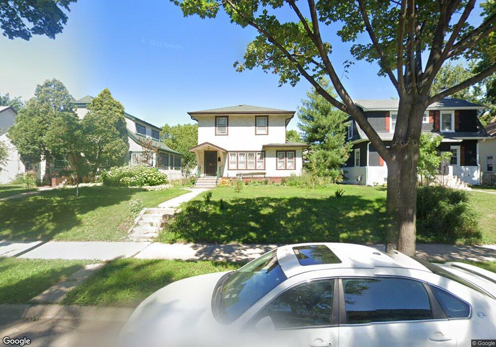
2015 19th Ave NE Minneapolis, MN 55418
Windom Park NeighborhoodEstimated Value: $393,844 - $447,000
4
Beds
2
Baths
1,519
Sq Ft
$281/Sq Ft
Est. Value
About This Home
This home is located at 2015 19th Ave NE, Minneapolis, MN 55418 and is currently estimated at $426,461, approximately $280 per square foot. 2015 19th Ave NE is a home located in Hennepin County with nearby schools including Pillsbury Elementary School, Northeast Middle School, and Thomas Edison High School.
Ownership History
Date
Name
Owned For
Owner Type
Purchase Details
Closed on
Jun 26, 2020
Sold by
Howitz Susan and Hanna Paul M
Bought by
Asch Elias Bateman and Wise Leslie Allene
Current Estimated Value
Home Financials for this Owner
Home Financials are based on the most recent Mortgage that was taken out on this home.
Original Mortgage
$286,400
Outstanding Balance
$254,432
Interest Rate
3.2%
Mortgage Type
New Conventional
Estimated Equity
$172,029
Purchase Details
Closed on
Jun 15, 1999
Sold by
Fix Lyman F
Bought by
Hanna Paul M and Hanna Susan H
Create a Home Valuation Report for This Property
The Home Valuation Report is an in-depth analysis detailing your home's value as well as a comparison with similar homes in the area
Home Values in the Area
Average Home Value in this Area
Purchase History
| Date | Buyer | Sale Price | Title Company |
|---|---|---|---|
| Asch Elias Bateman | $358,000 | The Title Group Inc | |
| Hanna Paul M | $154,900 | -- |
Source: Public Records
Mortgage History
| Date | Status | Borrower | Loan Amount |
|---|---|---|---|
| Open | Asch Elias Bateman | $286,400 |
Source: Public Records
Tax History Compared to Growth
Tax History
| Year | Tax Paid | Tax Assessment Tax Assessment Total Assessment is a certain percentage of the fair market value that is determined by local assessors to be the total taxable value of land and additions on the property. | Land | Improvement |
|---|---|---|---|---|
| 2024 | $5,035 | $352,000 | $124,000 | $228,000 |
| 2023 | $4,769 | $369,000 | $124,000 | $245,000 |
| 2022 | $4,165 | $362,000 | $119,000 | $243,000 |
| 2021 | $3,980 | $309,000 | $67,000 | $242,000 |
| 2020 | $4,314 | $302,000 | $47,500 | $254,500 |
| 2019 | $3,937 | $302,000 | $39,700 | $262,300 |
| 2018 | $3,625 | $274,500 | $39,700 | $234,800 |
| 2017 | $3,246 | $225,500 | $36,100 | $189,400 |
| 2016 | $3,148 | $213,500 | $36,100 | $177,400 |
| 2015 | $2,973 | $195,000 | $36,100 | $158,900 |
| 2014 | -- | $180,000 | $36,100 | $143,900 |
Source: Public Records
Map
Nearby Homes
- 1921 Hayes St NE
- 1938 Mckinley St NE
- 1937 Hayes St NE
- 1802 Mckinley St NE
- 1711 22nd Ave NE
- 1943 Lincoln St NE
- 2358 Benjamin St NE
- 2422 Garfield St NE
- 2219 Lincoln St NE
- 2354 Mckinley St NE
- 1847 Buchanan St NE
- 1415 18th Ave NE
- 1602 Johnson St NE
- 2538 Garfield St NE
- 2546 Mckinley St NE
- 2539 Ulysses St NE
- 2559 Mckinley St NE
- 2307 Harding St NE
- 1834 Fillmore St NE
- 2307 Fillmore St NE
- 2019 19th Ave NE
- 2011 19th Ave NE
- 2025 19th Ave NE
- 2005 19th Ave NE
- 1914 Cleveland St NE
- 1917 Arthur St NE
- 2001 19th Ave NE
- 1920 Cleveland St NE
- 1921 Arthur St NE
- 1924 Cleveland St NE
- 2010 19th Ave NE Unit 4
- 2010 19th Ave NE Unit 24
- 1925 Arthur St NE
- 1915 Cleveland St NE
- 2100 19th Ave NE
- 2107 19th Ave NE
- 1919 Cleveland St NE
- 1932 Cleveland St NE
- 2104 19th Ave NE
- 1919 19th Ave NE