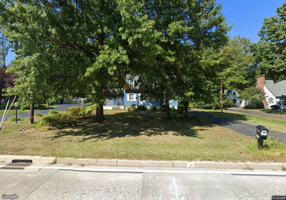
2015 Foulk Rd Wilmington, DE 19810
Talleyville NeighborhoodEstimated Value: $407,000 - $497,000
3
Beds
2
Baths
1,518
Sq Ft
$286/Sq Ft
Est. Value
About This Home
This home is located at 2015 Foulk Rd, Wilmington, DE 19810 and is currently estimated at $434,748, approximately $286 per square foot. 2015 Foulk Rd is a home located in New Castle County with nearby schools including Hanby Elementary School, Springer Middle School, and Brandywine High School.
Ownership History
Date
Name
Owned For
Owner Type
Purchase Details
Closed on
Mar 30, 2016
Sold by
Britton Achkouti Kathryn and Britton Achkouti Louis
Bought by
Britton Kathryn
Current Estimated Value
Purchase Details
Closed on
Jul 31, 2006
Sold by
Pyle Robert E and Pyle Bessie D
Bought by
Britton Achkouti Louis and Britton Achkouti Kathryn
Home Financials for this Owner
Home Financials are based on the most recent Mortgage that was taken out on this home.
Original Mortgage
$212,000
Interest Rate
6.7%
Mortgage Type
Purchase Money Mortgage
Create a Home Valuation Report for This Property
The Home Valuation Report is an in-depth analysis detailing your home's value as well as a comparison with similar homes in the area
Home Values in the Area
Average Home Value in this Area
Purchase History
| Date | Buyer | Sale Price | Title Company |
|---|---|---|---|
| Britton Kathryn | -- | None Available | |
| Britton Achkouti Louis | $265,000 | None Available |
Source: Public Records
Mortgage History
| Date | Status | Borrower | Loan Amount |
|---|---|---|---|
| Previous Owner | Britton Achkouti Louis | $212,000 |
Source: Public Records
Tax History Compared to Growth
Tax History
| Year | Tax Paid | Tax Assessment Tax Assessment Total Assessment is a certain percentage of the fair market value that is determined by local assessors to be the total taxable value of land and additions on the property. | Land | Improvement |
|---|---|---|---|---|
| 2024 | $2,257 | $59,300 | $22,200 | $37,100 |
| 2023 | $2,063 | $59,300 | $22,200 | $37,100 |
| 2022 | $2,098 | $59,300 | $22,200 | $37,100 |
| 2021 | $2,098 | $59,300 | $22,200 | $37,100 |
| 2020 | $2,098 | $59,300 | $22,200 | $37,100 |
| 2019 | $2,334 | $59,300 | $22,200 | $37,100 |
| 2018 | $2,005 | $59,300 | $22,200 | $37,100 |
| 2017 | $1,974 | $59,300 | $22,200 | $37,100 |
| 2016 | $1,973 | $59,300 | $22,200 | $37,100 |
| 2015 | $1,815 | $59,300 | $22,200 | $37,100 |
| 2014 | $1,814 | $59,300 | $22,200 | $37,100 |
Source: Public Records
Map
Nearby Homes
- 1909 Foulk Rd
- 2518 Deepwood Dr
- 2205 Dorval Rd
- 2433 Grubb Rd
- 2429 Grubb Rd
- 1902 Longcome Dr
- 2431 Grubb Rd
- 2427 Grubb Rd
- 1822 Foulk Rd
- 1820 Foulk Rd
- 2010 Kynwyd Rd
- 2311 Empire Dr
- 2003 Brandywood Ln
- 2636 Longwood Dr
- 2636 Majestic Dr
- 9 Penarth Dr
- 2247 Silverside Rd
- 2303 Magnolia Dr
- 2229 Kingsridge Dr
- 2115 Coventry Dr