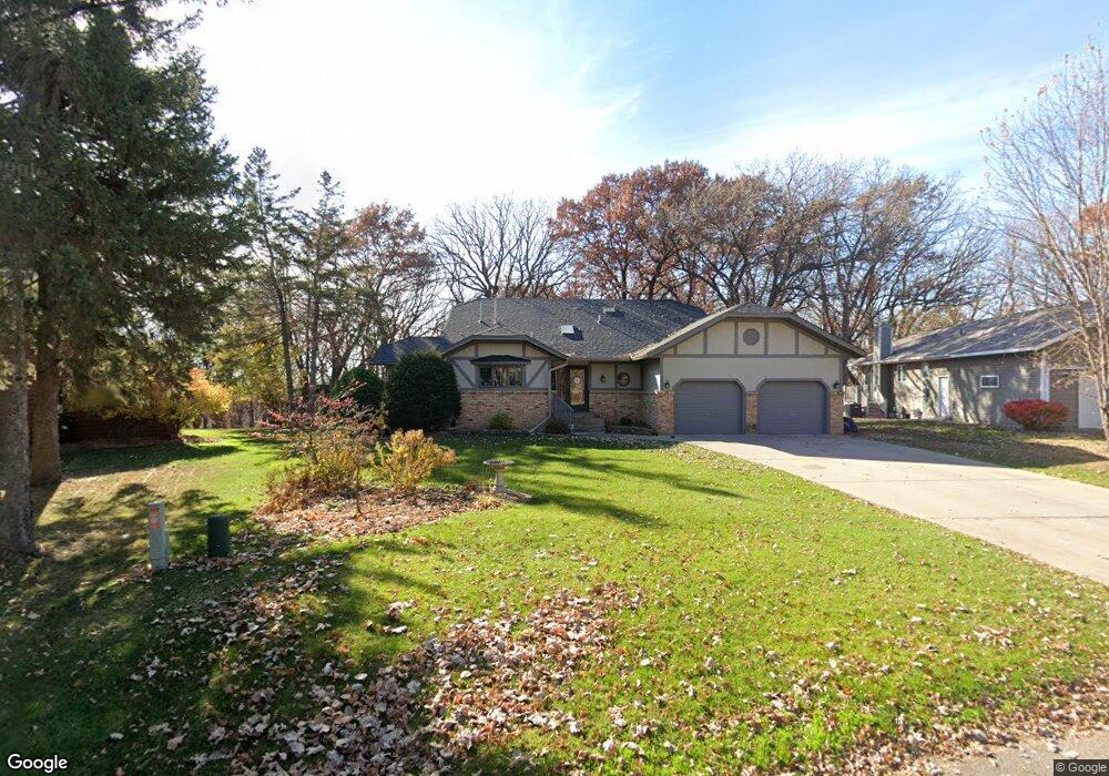
2015 High Dr Sauk Rapids, MN 56379
Estimated Value: $342,000 - $366,000
5
Beds
3
Baths
1,366
Sq Ft
$257/Sq Ft
Est. Value
About This Home
This home is located at 2015 High Dr, Sauk Rapids, MN 56379 and is currently estimated at $351,189, approximately $257 per square foot. 2015 High Dr is a home located in Benton County with nearby schools including Pleasant View Elementary School, Sauk Rapids-Rice Middle School, and Sauk Rapids-Rice Senior High School.
Ownership History
Date
Name
Owned For
Owner Type
Purchase Details
Closed on
Oct 13, 2017
Sold by
Besler Vicki and Besler Wade
Bought by
Newbanks Jenny R and Newbanks Mack C
Current Estimated Value
Purchase Details
Closed on
Nov 1, 2004
Sold by
Jaskowiak Adam M and Jaskowiak Janet F
Bought by
Besler Wade and Besler Vickie
Home Financials for this Owner
Home Financials are based on the most recent Mortgage that was taken out on this home.
Original Mortgage
$120,000
Interest Rate
5.9%
Mortgage Type
New Conventional
Create a Home Valuation Report for This Property
The Home Valuation Report is an in-depth analysis detailing your home's value as well as a comparison with similar homes in the area
Home Values in the Area
Average Home Value in this Area
Purchase History
| Date | Buyer | Sale Price | Title Company |
|---|---|---|---|
| Newbanks Jenny R | $299,650 | None Available | |
| Besler Wade | $219,900 | None Available |
Source: Public Records
Mortgage History
| Date | Status | Borrower | Loan Amount |
|---|---|---|---|
| Previous Owner | Besler Wade | $120,000 |
Source: Public Records
Tax History
| Year | Tax Paid | Tax Assessment Tax Assessment Total Assessment is a certain percentage of the fair market value that is determined by local assessors to be the total taxable value of land and additions on the property. | Land | Improvement |
|---|---|---|---|---|
| 2025 | $4,078 | $346,100 | $34,900 | $311,200 |
| 2024 | $3,938 | $330,600 | $34,900 | $295,700 |
| 2023 | $3,770 | $329,500 | $34,900 | $294,600 |
| 2022 | $3,528 | $290,500 | $31,700 | $258,800 |
| 2021 | $3,220 | $250,200 | $31,700 | $218,500 |
| 2018 | $2,810 | $186,100 | $27,702 | $158,398 |
| 2017 | $2,810 | $171,200 | $27,310 | $143,890 |
| 2016 | $2,742 | $186,700 | $30,500 | $156,200 |
| 2015 | $2,772 | $153,300 | $26,749 | $126,551 |
| 2014 | -- | $144,100 | $26,413 | $117,687 |
| 2013 | -- | $146,100 | $26,493 | $119,607 |
Source: Public Records
Map
Nearby Homes
- 122 Benton Oaks Dr
- 1954 W Highview Dr
- 506 Oak Pond Dr
- 1914 N Benton Dr
- 398 Riverside Ave S
- 932 Oak Pond Ct
- 1001 Oak Pond Dr
- 390 18th Street Ct NW
- 870 18th St NW
- 820 18th St NW
- 201 High Dr
- 199 High Dr
- 1806 Oak Pond Dr
- 1804 Oak Pond Dr
- 1209 Oak Pond Dr
- TBD N Benton Dr
- 18th 18th
- 2 Lowell Cir
- 138 Hi Vue Dr
- 1040 Bridgeport Dr
Your Personal Tour Guide
Ask me questions while you tour the home.