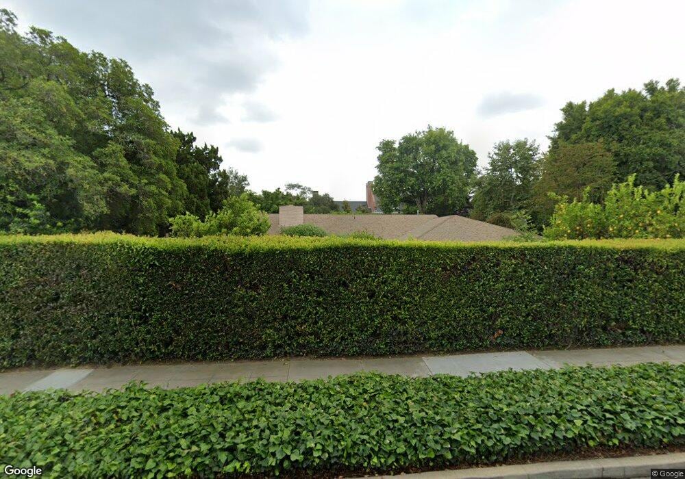
2015 Monterey Rd South Pasadena, CA 91030
Estimated Value: $3,037,161 - $5,390,000
5
Beds
4
Baths
3,977
Sq Ft
$1,044/Sq Ft
Est. Value
About This Home
This home is located at 2015 Monterey Rd, South Pasadena, CA 91030 and is currently estimated at $4,153,290, approximately $1,044 per square foot. 2015 Monterey Rd is a home located in Los Angeles County with nearby schools including Marengo Elementary, South Pasadena Middle School, and South Pasadena High School.
Ownership History
Date
Name
Owned For
Owner Type
Purchase Details
Closed on
Apr 19, 2019
Sold by
Narro Oscar and Narro Laurie I
Bought by
Narro Family Trust
Current Estimated Value
Purchase Details
Closed on
May 16, 1996
Sold by
Williams Wayne M
Bought by
Narro Oscar and Narro Laurie I
Home Financials for this Owner
Home Financials are based on the most recent Mortgage that was taken out on this home.
Original Mortgage
$366,400
Outstanding Balance
$21,049
Interest Rate
8.09%
Estimated Equity
$4,132,241
Create a Home Valuation Report for This Property
The Home Valuation Report is an in-depth analysis detailing your home's value as well as a comparison with similar homes in the area
Home Values in the Area
Average Home Value in this Area
Purchase History
| Date | Buyer | Sale Price | Title Company |
|---|---|---|---|
| Narro Family Trust | -- | Fidelity National Title | |
| Narro Oscar | $458,000 | Equity Title |
Source: Public Records
Mortgage History
| Date | Status | Borrower | Loan Amount |
|---|---|---|---|
| Open | Narro Oscar | $366,400 |
Source: Public Records
Tax History Compared to Growth
Tax History
| Year | Tax Paid | Tax Assessment Tax Assessment Total Assessment is a certain percentage of the fair market value that is determined by local assessors to be the total taxable value of land and additions on the property. | Land | Improvement |
|---|---|---|---|---|
| 2025 | $12,414 | $984,535 | $608,683 | $375,852 |
| 2024 | $12,414 | $965,232 | $596,749 | $368,483 |
| 2023 | $12,133 | $946,307 | $585,049 | $361,258 |
| 2022 | $11,853 | $927,753 | $573,578 | $354,175 |
| 2021 | $11,625 | $909,563 | $562,332 | $347,231 |
| 2019 | $11,285 | $882,586 | $545,653 | $336,933 |
| 2018 | $10,913 | $865,281 | $534,954 | $330,327 |
| 2016 | $10,086 | $831,682 | $514,182 | $317,500 |
| 2015 | $9,922 | $819,190 | $506,459 | $312,731 |
| 2014 | $9,791 | $803,145 | $496,539 | $306,606 |
Source: Public Records
Map
Nearby Homes
- 2044 Monterey Rd
- 2041 Ashbourne Dr
- 2039 Edgewood Dr
- 1617 Wayne Ave
- 480 Plymouth Rd
- 1712 Lyndon St
- 735 Garfield Ave
- 1720 Mission St Unit 7
- 2784 Carlaris Rd
- 1416 Wilson Ave
- 1832 Bushnell Ave
- 702 Park Ave Unit 309
- 776 Winthrop Rd
- 543 Huntington Dr
- 790 Huntington Cir
- 1416 Oak St
- 917 N Olive Ave
- 1715 Fair Oaks Ave Unit 15
- 829 N Electric Ave
- 1425 Wentworth Ave
- 1200 Chelten Way
- 2033 Monterey Rd
- 1210 Chelten Way
- 2024 Monterey Rd
- 2020 Monterey Rd
- 2030 Monterey Rd
- 2018 Monterey Rd
- 2034 Monterey Rd
- 2014 Monterey Rd
- 1222 Chelten Way
- 2010 Monterey Rd
- 2040 Monterey Rd
- 1215 Chelten Way
- 2045 Monterey Rd
- 2000 Monterey Rd
- 1300 Chelten Way
- 1219 Chelten Way
- 1130 Montrose Ave
- 2025 Le Droit Dr
- 2021 Le Droit Dr
