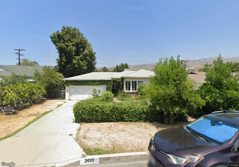
2015 Rosita Ave Burbank, CA 91504
Hillside District NeighborhoodEstimated Value: $905,005 - $1,141,000
2
Beds
1
Bath
835
Sq Ft
$1,228/Sq Ft
Est. Value
About This Home
This home is located at 2015 Rosita Ave, Burbank, CA 91504 and is currently estimated at $1,025,751, approximately $1,228 per square foot. 2015 Rosita Ave is a home located in Los Angeles County with nearby schools including George Washington Elementary, Luther Burbank Middle School, and Burbank High School.
Ownership History
Date
Name
Owned For
Owner Type
Purchase Details
Closed on
Sep 11, 2003
Sold by
Lacey Patricia L and Alma B Cross 1988 Revocable Tr
Bought by
Kermani Parissa
Current Estimated Value
Home Financials for this Owner
Home Financials are based on the most recent Mortgage that was taken out on this home.
Original Mortgage
$304,000
Outstanding Balance
$131,361
Interest Rate
5.25%
Mortgage Type
Purchase Money Mortgage
Estimated Equity
$894,390
Create a Home Valuation Report for This Property
The Home Valuation Report is an in-depth analysis detailing your home's value as well as a comparison with similar homes in the area
Home Values in the Area
Average Home Value in this Area
Purchase History
| Date | Buyer | Sale Price | Title Company |
|---|---|---|---|
| Kermani Parissa | $380,000 | Old Republic Title Company |
Source: Public Records
Mortgage History
| Date | Status | Borrower | Loan Amount |
|---|---|---|---|
| Open | Kermani Parissa | $304,000 | |
| Closed | Kermani Parissa | $57,000 |
Source: Public Records
Tax History Compared to Growth
Tax History
| Year | Tax Paid | Tax Assessment Tax Assessment Total Assessment is a certain percentage of the fair market value that is determined by local assessors to be the total taxable value of land and additions on the property. | Land | Improvement |
|---|---|---|---|---|
| 2025 | $5,923 | $540,266 | $432,217 | $108,049 |
| 2024 | $5,923 | $529,674 | $423,743 | $105,931 |
| 2023 | $5,859 | $519,289 | $415,435 | $103,854 |
| 2022 | $5,592 | $509,108 | $407,290 | $101,818 |
| 2021 | $5,570 | $499,126 | $399,304 | $99,822 |
| 2019 | $5,343 | $484,323 | $387,461 | $96,862 |
| 2018 | $5,258 | $474,827 | $379,864 | $94,963 |
| 2016 | $4,992 | $456,390 | $365,114 | $91,276 |
| 2015 | $4,890 | $449,535 | $359,630 | $89,905 |
| 2014 | $4,879 | $440,730 | $352,586 | $88,144 |
Source: Public Records
Map
Nearby Homes
- 2000 Peyton Ave
- 2014 Peyton Ave
- 1809 Peyton Ave Unit 313
- 2420 N Keystone St
- 1923 Grismer Ave
- 2310 Washington Cir
- 1702 Landis St
- 2528 N Orchard Dr
- 1622 Keeler St
- 2250 N Frederic St
- 1608 Grismer Ave
- 724 Price Dr
- 2030 N Brighton St
- 736 Irving Dr
- 2615 Woodstock Ln
- 2755 N Lincoln St
- 3141 Jolley Dr
- 2310 N Catalina St
- 2344 N Niagara St
- 531 Tufts Ave
- 2011 Rosita Ave
- 2021 Rosita Ave
- 1802 Winona Ave
- 2005 Rosita Ave
- 1720 Winona Ave
- 2025 Rosita Ave
- 1716 Winona Ave
- 1810 Winona Ave
- 2016 Rosita Ave
- 2022 Rosita Ave
- 2001 Rosita Ave
- 2012 Rosita Ave
- 2029 Rosita Ave
- 2026 Rosita Ave
- 1712 Winona Ave
- 1816 Winona Ave
- 2006 Rosita Ave
- 1927 Rosita Ave
- 2030 Rosita Ave