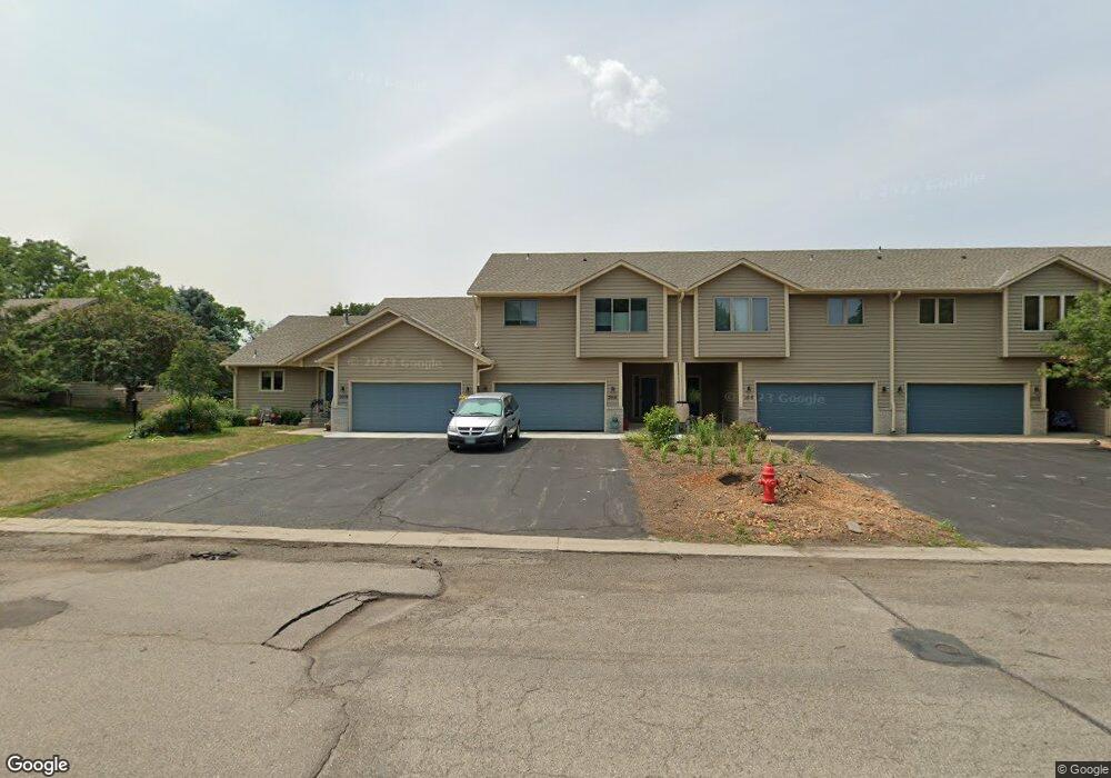
2016 Lincoln St S Northfield, MN 55057
Estimated Value: $282,122 - $327,000
2
Beds
3
Baths
1,340
Sq Ft
$228/Sq Ft
Est. Value
About This Home
This home is located at 2016 Lincoln St S, Northfield, MN 55057 and is currently estimated at $305,781, approximately $228 per square foot. 2016 Lincoln St S is a home located in Rice County with nearby schools including Bridgewater Elementary School, Northfield Middle School, and Northfield Senior High School.
Ownership History
Date
Name
Owned For
Owner Type
Purchase Details
Closed on
Mar 22, 2021
Sold by
Moninger Gene
Bought by
Bickford Jeffrey J and Gustafson Gail H
Current Estimated Value
Purchase Details
Closed on
Nov 20, 2006
Sold by
Bell Arthur G and Bell Mavis M
Bought by
Moninger Gene and Moninger Earlyne
Create a Home Valuation Report for This Property
The Home Valuation Report is an in-depth analysis detailing your home's value as well as a comparison with similar homes in the area
Home Values in the Area
Average Home Value in this Area
Purchase History
| Date | Buyer | Sale Price | Title Company |
|---|---|---|---|
| Bickford Jeffrey J | $200,000 | None Listed On Document | |
| Moninger Gene | $195,500 | -- | |
| Bickford Jeffrey Jeffrey | $200,000 | -- |
Source: Public Records
Tax History Compared to Growth
Tax History
| Year | Tax Paid | Tax Assessment Tax Assessment Total Assessment is a certain percentage of the fair market value that is determined by local assessors to be the total taxable value of land and additions on the property. | Land | Improvement |
|---|---|---|---|---|
| 2025 | $4,582 | $290,800 | $54,600 | $236,200 |
| 2024 | $4,582 | $267,800 | $51,600 | $216,200 |
| 2023 | $3,756 | $267,800 | $51,600 | $216,200 |
| 2022 | $3,396 | $243,400 | $46,600 | $196,800 |
| 2021 | $3,326 | $216,200 | $42,000 | $174,200 |
| 2020 | $3,200 | $209,300 | $42,000 | $167,300 |
| 2019 | $2,812 | $198,400 | $40,000 | $158,400 |
| 2018 | $2,616 | $174,900 | $40,000 | $134,900 |
| 2017 | $2,282 | $161,800 | $33,000 | $128,800 |
| 2016 | $2,134 | $155,000 | $33,000 | $122,000 |
| 2015 | $2,044 | $140,400 | $33,000 | $107,400 |
| 2014 | -- | $136,100 | $27,500 | $108,600 |
Source: Public Records
Map
Nearby Homes
- 2004 Lincoln St S
- 2206 Grant Ct
- 1741 Roosevelt Dr
- 709 Carter Dr
- 1819 Truman Ct
- 2116 Park Pointe Dr
- 1707 Jackson Ct
- 2200 Greenfield Dr W
- Outlot Honeylocust Dr
- 2620 Oak Lawn Dr
- 2220 Greenfield Dr E
- 2704 Oak Lawn Dr
- 2708 Oak Lawn Dr
- 1513 Senate Ln
- 2804 Oak Lawn Dr
- 546 Cannon Way
- 555 Cannon Way
- 1301 Presidential Dr
- XXXX Division St S
- 513 Cannon Way
- 2014 Lincoln St S
- 2018 Lincoln St S
- 2012 Lincoln St S
- 2010 2010 Lincoln-Street-s
- 2100 Lincoln St S
- 2008 Lincoln St S
- 2102 Lincoln St S
- 2104 Lincoln St S
- 2106 Lincoln St S
- 2013 Lincoln St S
- 2009 Lincoln St S
- 2108 Lincoln St S
- 2101 Lincoln St S
- 1121 Heritage Dr
- 2002 Lincoln St S
- 2002 2002 Lincoln-Street-s
- 1123 Heritage Dr
- 2000 Lincoln St S
- 2000 2000 Lincoln-Street-s
- 2006 Lincoln St S