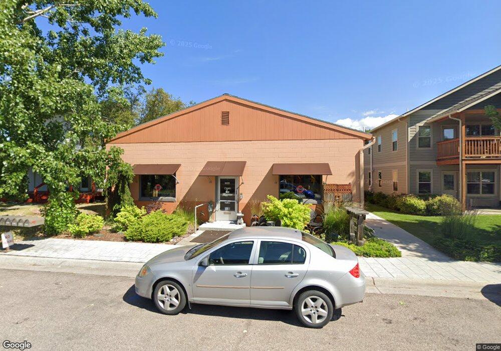
2016 Strand Ave Missoula, MT 59801
Franklin to the Fort NeighborhoodEstimated Value: $661,000
--
Bed
--
Bath
5,335
Sq Ft
$124/Sq Ft
Est. Value
About This Home
This home is located at 2016 Strand Ave, Missoula, MT 59801 and is currently priced at $661,000, approximately $123 per square foot. 2016 Strand Ave is a home located in Missoula County with nearby schools including Franklin School, Porter Middle School, and Sentinel High School.
Ownership History
Date
Name
Owned For
Owner Type
Purchase Details
Closed on
Dec 5, 2002
Sold by
Bauerle Robert H and Bauerle Patricia K
Bought by
Scariano Franklin and Scariano Kelly P
Current Estimated Value
Home Financials for this Owner
Home Financials are based on the most recent Mortgage that was taken out on this home.
Original Mortgage
$195,000
Outstanding Balance
$84,002
Interest Rate
6.28%
Create a Home Valuation Report for This Property
The Home Valuation Report is an in-depth analysis detailing your home's value as well as a comparison with similar homes in the area
Home Values in the Area
Average Home Value in this Area
Purchase History
| Date | Buyer | Sale Price | Title Company |
|---|---|---|---|
| Scariano Franklin | -- | Title Services Inc |
Source: Public Records
Mortgage History
| Date | Status | Borrower | Loan Amount |
|---|---|---|---|
| Open | Scariano Franklin | $195,000 | |
| Closed | Scariano Franklin | $32,125 |
Source: Public Records
Tax History Compared to Growth
Tax History
| Year | Tax Paid | Tax Assessment Tax Assessment Total Assessment is a certain percentage of the fair market value that is determined by local assessors to be the total taxable value of land and additions on the property. | Land | Improvement |
|---|---|---|---|---|
| 2025 | $10,665 | $750,985 | $287,925 | $463,060 |
| 2024 | $10,236 | $600,822 | $215,132 | $385,690 |
| 2023 | $9,861 | $600,822 | $215,132 | $385,690 |
| 2022 | $9,309 | $492,074 | $0 | $0 |
| 2021 | $8,369 | $492,074 | $0 | $0 |
| 2020 | $8,754 | $478,252 | $0 | $0 |
| 2019 | $8,725 | $478,252 | $0 | $0 |
| 2018 | $11,309 | $647,529 | $0 | $0 |
| 2017 | $11,135 | $647,529 | $0 | $0 |
| 2016 | $8,767 | $535,944 | $0 | $0 |
| 2015 | $8,125 | $535,944 | $0 | $0 |
| 2014 | $6,362 | $296,718 | $0 | $0 |
Source: Public Records
Map
Nearby Homes
- 2028 B Burlington Ave
- 2115 Mount Ave Unit B
- 2124 S 14th St W
- 2128 S 14th St W
- 2218 Burlington Ave
- 2004 S 13th St W
- NHN S 13th St W Unit Lot 9A
- 1935 S 12th St W
- 2144 W Kent Ave
- 2225 Kensington Ave
- 2307 Burlington Ave
- 2220 S 13th St W
- 2112 & 2112 1/2 W Central Ave
- 1755 North Ave W
- 2216 S 12th St W
- 2214 S 12th St W
- 1421 Eaton St Unit 25
- 1310 Linnea Ln
- 1645 Margaret St Unit B
- 1638 S 14th St W
- 2010 Strand Ave
- 2028 Strand Ave
- 1717 S Johnson St
- 2030 Strand Ave
- 1711 S Johnson St
- 2007 Burlington Ave
- 2015 Strand Ave Unit A
- 2015 Burlington Ave
- 2019 Burlington Ave
- 2034 Strand Ave
- TBD Strand Unit Strand & Johnson
- 2001 Strand Ave
- 2029 Strand Ave
- 1705 S Johnson St
- 2031 Strand Ave
- 2021 Burlington Ave
- 2028B Burlington Ave
- 1720 S Johnson St
- 2040 Strand Ave
- 1712 Kemp St