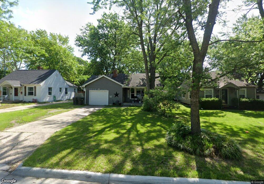
2016 SW High Ave Topeka, KS 66604
Central Topeka NeighborhoodEstimated Value: $150,982 - $170,000
2
Beds
2
Baths
1,162
Sq Ft
$140/Sq Ft
Est. Value
About This Home
This home is located at 2016 SW High Ave, Topeka, KS 66604 and is currently estimated at $163,246, approximately $140 per square foot. 2016 SW High Ave is a home located in Shawnee County with nearby schools including Randolph Elementary School, Robinson Middle School, and Topeka High School.
Ownership History
Date
Name
Owned For
Owner Type
Purchase Details
Closed on
Jan 27, 2017
Sold by
Hoffsett Cynthia and Hoffsett Edward
Bought by
Ragsdale Jeffery S
Current Estimated Value
Purchase Details
Closed on
Aug 17, 2016
Sold by
Carr Shawna and Carr Kevin
Bought by
Holmes Renae
Purchase Details
Closed on
Aug 10, 2016
Sold by
Holmes Renae
Bought by
Jones Kathy
Purchase Details
Closed on
Aug 9, 2016
Sold by
Shelton Brandy and Shelton George
Bought by
Holmes Renae
Purchase Details
Closed on
Mar 10, 2005
Sold by
North American Savings Bank Fsb
Bought by
Homes Earl and Hoffsett Cynthia
Purchase Details
Closed on
Jul 29, 2004
Sold by
Hoffsett Cynthia S
Bought by
North American Savings Bank
Create a Home Valuation Report for This Property
The Home Valuation Report is an in-depth analysis detailing your home's value as well as a comparison with similar homes in the area
Home Values in the Area
Average Home Value in this Area
Purchase History
| Date | Buyer | Sale Price | Title Company |
|---|---|---|---|
| Ragsdale Jeffery S | $32,500 | None Available | |
| Holmes Renae | -- | None Available | |
| Jones Kathy | -- | None Available | |
| Holmes Renae | -- | None Available | |
| Homes Earl | -- | None Available | |
| North American Savings Bank | $43,879 | Lawyers Title Of Topeka Inc |
Source: Public Records
Tax History
| Year | Tax Paid | Tax Assessment Tax Assessment Total Assessment is a certain percentage of the fair market value that is determined by local assessors to be the total taxable value of land and additions on the property. | Land | Improvement |
|---|---|---|---|---|
| 2025 | $2,099 | $15,709 | -- | -- |
| 2023 | $2,099 | $14,253 | $0 | $0 |
| 2022 | $1,824 | $12,393 | $0 | $0 |
| 2021 | $1,679 | $10,776 | $0 | $0 |
| 2020 | $1,579 | $10,263 | $0 | $0 |
| 2019 | $1,556 | $10,062 | $0 | $0 |
| 2018 | $1,256 | $8,165 | $0 | $0 |
| 2017 | $1,527 | $9,847 | $0 | $0 |
| 2014 | $1,543 | $9,847 | $0 | $0 |
Source: Public Records
Map
Nearby Homes
- 2212 SW Plass Ave
- 1721 SW High Ave
- 2 SW Westboro Place
- 1533 SW High Ave
- 1530 SW Wayne Ave
- 1614 SW College Ave
- 1914 SW Arnold Ave
- 1501-1599 SW 17th St
- 1350 SW Wayne Ave
- 2761 SW Plass Ave
- 2047 SW Lincoln St
- 1500 SW Mulvane St
- 1800 SW Lincoln St
- 2058 SW Buchanan St
- 1928 SW Buchanan St
- 1347 SW Campbell Ave
- 1259 SW High Ave
- 2030 SW Clay St
- 1303 SW Pembroke Ln
- 1700 SW Buchanan St
- 2012 SW High Ave
- 2020 SW High Ave
- 2030 SW High Ave
- 2008 SW High Ave
- 2008 SW High Ave
- 2021 SW Wayne Ave
- 2025 SW Wayne Ave
- 2017 SW Wayne Ave
- 2029 SW Wayne Ave
- 2009 SW Wayne Ave
- 2034 SW High Ave
- 2017 SW High Ave
- 2021 SW High Ave
- 2025 SW High Ave
- 2001 SW Wayne Ave
- 2031 SW Wayne Ave
- 2005 SW High Ave
- 2029 SW High Ave
- 2038 SW High Ave
- 2001 SW High Ave
Your Personal Tour Guide
Ask me questions while you tour the home.