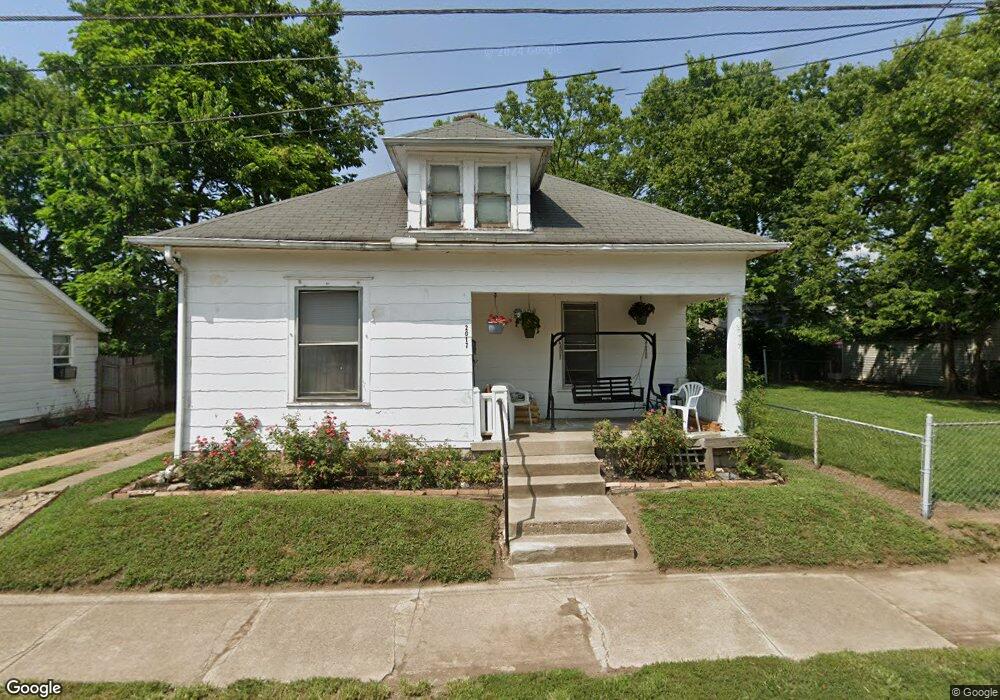
2017 Howard Ave Middletown, OH 45044
Sherman NeighborhoodEstimated Value: $97,827 - $120,000
2
Beds
1
Bath
962
Sq Ft
$114/Sq Ft
Est. Value
About This Home
This home is located at 2017 Howard Ave, Middletown, OH 45044 and is currently estimated at $109,957, approximately $114 per square foot. 2017 Howard Ave is a home located in Butler County with nearby schools including Amanda Elementary School, Highview 6th Grade Center, and Middletown Middle School.
Ownership History
Date
Name
Owned For
Owner Type
Purchase Details
Closed on
Oct 21, 2014
Sold by
Gosney Charlotte and Sebastian Carolyn
Bought by
Holloway Patricia
Current Estimated Value
Purchase Details
Closed on
Dec 17, 1999
Sold by
Lane Colette M
Bought by
Lane Rickey D
Home Financials for this Owner
Home Financials are based on the most recent Mortgage that was taken out on this home.
Original Mortgage
$78,125
Outstanding Balance
$22,948
Interest Rate
7.7%
Mortgage Type
Purchase Money Mortgage
Estimated Equity
$87,009
Purchase Details
Closed on
Aug 1, 1993
Create a Home Valuation Report for This Property
The Home Valuation Report is an in-depth analysis detailing your home's value as well as a comparison with similar homes in the area
Home Values in the Area
Average Home Value in this Area
Purchase History
| Date | Buyer | Sale Price | Title Company |
|---|---|---|---|
| Holloway Patricia | -- | None Available | |
| Lane Rickey D | -- | Evans Title Agency Inc | |
| -- | $51,000 | -- |
Source: Public Records
Mortgage History
| Date | Status | Borrower | Loan Amount |
|---|---|---|---|
| Open | Lane Rickey D | $78,125 |
Source: Public Records
Tax History
| Year | Tax Paid | Tax Assessment Tax Assessment Total Assessment is a certain percentage of the fair market value that is determined by local assessors to be the total taxable value of land and additions on the property. | Land | Improvement |
|---|---|---|---|---|
| 2025 | $916 | $17,280 | $3,480 | $13,800 |
| 2024 | $916 | $17,280 | $3,480 | $13,800 |
| 2023 | $910 | $17,280 | $3,480 | $13,800 |
| 2022 | $764 | $12,820 | $3,480 | $9,340 |
| 2021 | $735 | $12,820 | $3,480 | $9,340 |
| 2020 | $766 | $12,820 | $3,480 | $9,340 |
| 2019 | $738 | $7,380 | $3,380 | $4,000 |
| 2018 | $478 | $7,380 | $3,380 | $4,000 |
| 2017 | $479 | $7,380 | $3,380 | $4,000 |
| 2016 | $456 | $6,730 | $3,380 | $3,350 |
| 2015 | $449 | $6,730 | $3,380 | $3,350 |
| 2014 | $1,342 | $6,730 | $3,380 | $3,350 |
| 2013 | $1,342 | $16,300 | $3,380 | $12,920 |
Source: Public Records
Map
Nearby Homes
- 2023 Arlington Ave
- 325 Moore St
- 1814.5 Logan Ave
- 319 Crawford St
- 14 Moore St
- 409 Crawford St
- 2208 Linden Ave
- 2124 Sherman Ave
- 2119 Central Ave
- 113 N Sutphin St
- 1832 Woodlawn Ave
- 1830 Woodlawn Ave
- 615 Cleveland St
- 19 Mckinley St
- 2020 Grand Ave
- 2420 Superior Ave
- 2312 S Sutphin St
- 705 Crawford St
- 209 Monroe St
- 1803 North Ave
- 2015 Howard Ave
- 2012 Arlington Ave
- 2013 Howard Ave
- 2008 Arlington Ave
- 2016 Arlington Ave
- 2023 Howard Ave
- 2016 Howard Ave
- 2011 Howard Ave
- 2018 Arlington Ave
- 2006 Arlington Ave
- 2020 Arlington Ave
- 2014 Howard Ave
- 2004 Arlington Ave
- 2010 Howard Ave
- 2008 Howard Ave
- 2022 Arlington Ave
- 2006 Howard Ave
- 2005 Howard Ave
- 2004 Howard Ave
- 2024 Arlington Ave
Your Personal Tour Guide
Ask me questions while you tour the home.