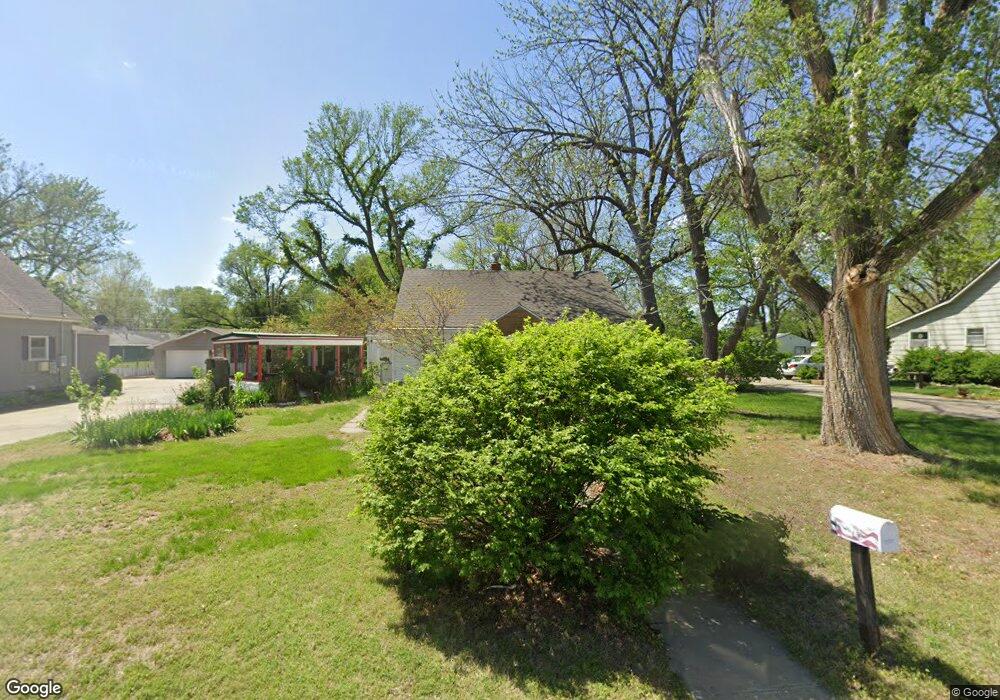
2017 NE Monroe St Topeka, KS 66608
North Topeka NeighborhoodEstimated Value: $129,000 - $167,000
3
Beds
1
Bath
872
Sq Ft
$166/Sq Ft
Est. Value
About This Home
This home is located at 2017 NE Monroe St, Topeka, KS 66608 and is currently estimated at $145,138, approximately $166 per square foot. 2017 NE Monroe St is a home located in Shawnee County with nearby schools including Logan Elementary School, Seaman Middle School, and Seaman High School.
Ownership History
Date
Name
Owned For
Owner Type
Purchase Details
Closed on
Oct 20, 2009
Sold by
Hicks Ronald W and Hicks Stephanie F
Bought by
Brown Pattie A
Current Estimated Value
Home Financials for this Owner
Home Financials are based on the most recent Mortgage that was taken out on this home.
Original Mortgage
$56,000
Outstanding Balance
$36,474
Interest Rate
5.03%
Mortgage Type
New Conventional
Estimated Equity
$108,664
Purchase Details
Closed on
Mar 24, 2008
Sold by
Bond John L and Bond Roberta L
Bought by
Hicks Stephanie F
Create a Home Valuation Report for This Property
The Home Valuation Report is an in-depth analysis detailing your home's value as well as a comparison with similar homes in the area
Home Values in the Area
Average Home Value in this Area
Purchase History
| Date | Buyer | Sale Price | Title Company |
|---|---|---|---|
| Brown Pattie A | -- | Kansas Secured Title | |
| Hicks Stephanie F | -- | Kansas Secured Title |
Source: Public Records
Mortgage History
| Date | Status | Borrower | Loan Amount |
|---|---|---|---|
| Open | Brown Pattie A | $56,000 |
Source: Public Records
Tax History Compared to Growth
Tax History
| Year | Tax Paid | Tax Assessment Tax Assessment Total Assessment is a certain percentage of the fair market value that is determined by local assessors to be the total taxable value of land and additions on the property. | Land | Improvement |
|---|---|---|---|---|
| 2025 | $2,056 | $14,357 | -- | -- |
| 2023 | $2,056 | $11,287 | $0 | $0 |
| 2022 | $1,621 | $10,451 | $0 | $0 |
| 2021 | $1,570 | $9,677 | $0 | $0 |
| 2020 | $1,488 | $9,487 | $0 | $0 |
| 2019 | $1,443 | $9,211 | $0 | $0 |
| 2018 | $1,262 | $8,073 | $0 | $0 |
| 2017 | $1,268 | $8,073 | $0 | $0 |
| 2014 | $642 | $8,073 | $0 | $0 |
Source: Public Records
Map
Nearby Homes
- 306 NE Lyman Rd
- 2026 N Kansas Ave
- 111 NW Hardt Ave
- 0000 NE US 24 Hwy
- 2902 N Kansas Ave
- 1406 NE Quincy St
- 1934 NW Polk St
- 1424 NW Van Buren St
- 1312 NW Van Buren St
- 1304 NW Van Buren St
- 824 NE Collier Rd
- 1229 NW Van Buren St
- 1329 NW Eugene St
- 1018 NE Monroe St
- 1142 NE Wabash Ave
- 930 NW Harrison St
- 1020 NE Chester Ave
- 1220 NW Fillmore St
- 919 NE Green St
- 1303 NE Kellam Ave
- 2015 NE Monroe St
- 2021 NE Monroe St
- 2025 NE Monroe St
- 2016 NE Quincy St
- 2009 NE Monroe St
- 2012 NE Quincy St
- 2018 NE Monroe St
- 2024 NE Monroe St
- 2010 NE Quincy St
- 2012 NE Monroe St
- 2029 NE Monroe St
- 2007 NE Monroe St
- 2022 NE Quincy St
- 2030 NE Monroe St
- 2026 NE Quincy St
- 2006 NE Monroe St
- 2006 NE Quincy St
- 2028 NE Quincy St
- 2001 NE Monroe St
- 2033 NE Monroe St