2017 Ocean Ridge Cir Vero Beach, FL 32963
Estimated Value: $1,539,104 - $2,178,000
2
Beds
4
Baths
3,570
Sq Ft
$519/Sq Ft
Est. Value
About This Home
This home is located at 2017 Ocean Ridge Cir, Vero Beach, FL 32963 and is currently estimated at $1,852,276, approximately $518 per square foot. 2017 Ocean Ridge Cir is a home located in Indian River County with nearby schools including Beachland Elementary School, Gifford Middle School, and Vero Beach High School.
Ownership History
Date
Name
Owned For
Owner Type
Purchase Details
Closed on
Jun 27, 2002
Sold by
Cohn Thomas S and Cohn Lilyan
Bought by
Fair Thomas H and Fair Barbara A
Current Estimated Value
Purchase Details
Closed on
Dec 31, 1996
Sold by
Agron Marvin A and Agron Francine E
Bought by
Cohn Thomas S and Cohn Lilyan
Home Financials for this Owner
Home Financials are based on the most recent Mortgage that was taken out on this home.
Original Mortgage
$225,000
Interest Rate
7.51%
Create a Home Valuation Report for This Property
The Home Valuation Report is an in-depth analysis detailing your home's value as well as a comparison with similar homes in the area
Home Values in the Area
Average Home Value in this Area
Purchase History
| Date | Buyer | Sale Price | Title Company |
|---|---|---|---|
| Fair Thomas H | $625,000 | -- | |
| Cohn Thomas S | $550,000 | -- |
Source: Public Records
Mortgage History
| Date | Status | Borrower | Loan Amount |
|---|---|---|---|
| Previous Owner | Cohn Thomas S | $225,000 |
Source: Public Records
Tax History Compared to Growth
Tax History
| Year | Tax Paid | Tax Assessment Tax Assessment Total Assessment is a certain percentage of the fair market value that is determined by local assessors to be the total taxable value of land and additions on the property. | Land | Improvement |
|---|---|---|---|---|
| 2025 | $9,611 | $703,025 | -- | -- |
| 2024 | $8,767 | $703,025 | -- | -- |
| 2023 | $8,767 | $663,313 | $0 | $0 |
| 2022 | $8,622 | $643,993 | $0 | $0 |
| 2021 | $8,647 | $625,236 | $0 | $0 |
| 2020 | $8,641 | $616,603 | $0 | $0 |
| 2019 | $8,688 | $602,740 | $0 | $0 |
| 2018 | $8,640 | $591,501 | $0 | $0 |
| 2017 | $8,592 | $579,335 | $0 | $0 |
| 2016 | $8,502 | $567,420 | $0 | $0 |
| 2015 | $8,809 | $563,480 | $0 | $0 |
| 2014 | $8,605 | $559,010 | $0 | $0 |
Source: Public Records
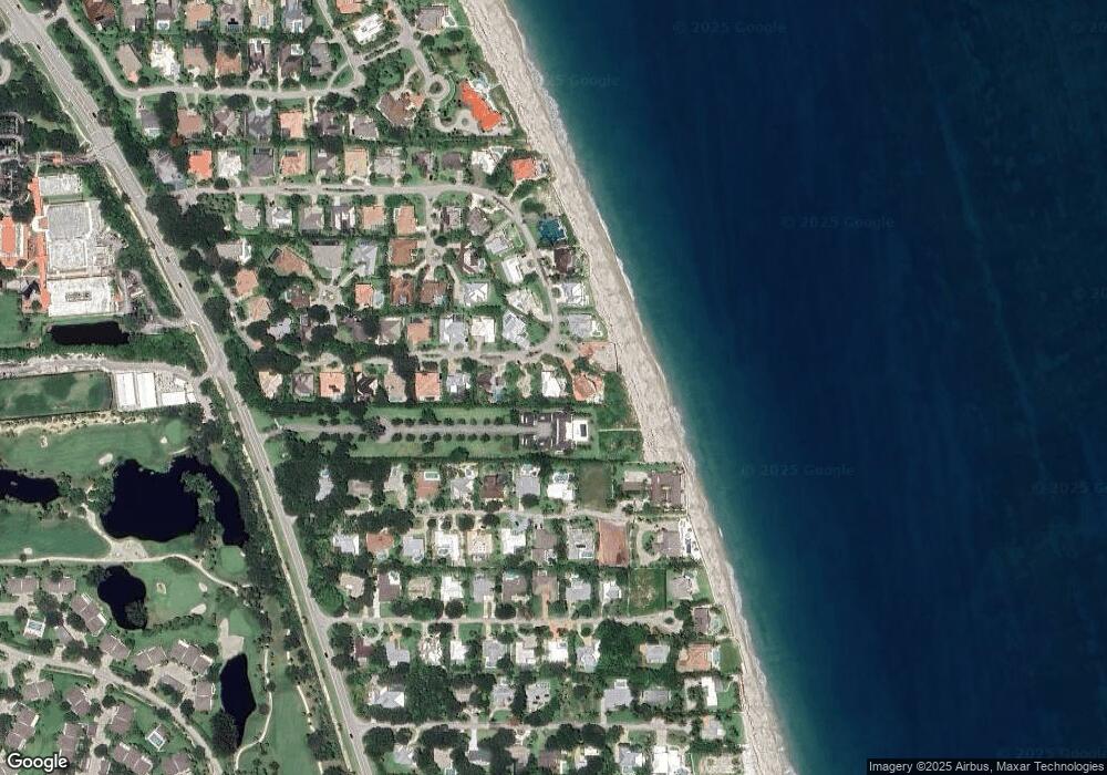
Map
Nearby Homes
- 2038 Ocean Ridge Cir
- 2006 Anglers Cove
- 2016 Surfside Terrace
- 2131 Cavalla Rd
- 112 Seaway Ct
- 300 Harbour Dr Unit 306A
- 300 Harbour Dr Unit 301D
- 300 Harbour Dr Unit 301C
- 300 Harbour Dr Unit 201E
- 300 Harbour Dr Unit 205A
- 300 Harbour Dr Unit 401A
- 300 Harbour Dr Unit 301B
- 1810 E Sandpointe Place
- 2136 S Porpoise Point Ln
- 116 Ocean Way
- 1765 Sand Dollar Way
- 1622 W Sandpointe Ln
- 1915 Cutlass Cove Dr
- 166 Ocean Way
- 186 Ocean Way
- 2015 Sea Palm Ct
- 2035 Ocean Ridge Cir
- 2026 Ocean Ridge Cir
- 1996 Ocean Ridge Cir
- 1925 Sears Cove
- 1987 Ocean Ridge Cir
- 2002 Sea Palm Ct
- 1990 Ocean Ridge Cir
- 2041 Ocean Ridge Cir
- 1986 Anglers Cove
- 1976 Anglers Cove
- 2044 Ocean Ridge Cir
- 162 Ocean Spray Ct
- 1966 Anglers Cove
- 1981 Ocean Ridge Cir
- 1984 Ocean Ridge Cir
- 2047 Ocean Ridge Cir
- 1956 Anglers Cove
- 2060 Ocean Ridge Cir
- 1976 Ocean Ridge Cir