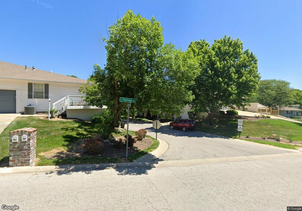
2017 S Hummel Dr Unit 55 Independence, MO 64055
Hanthorn NeighborhoodEstimated Value: $167,000 - $206,829
2
Beds
2
Baths
1,579
Sq Ft
$120/Sq Ft
Est. Value
About This Home
This home is located at 2017 S Hummel Dr Unit 55, Independence, MO 64055 and is currently estimated at $189,707, approximately $120 per square foot. 2017 S Hummel Dr Unit 55 is a home located in Jackson County with nearby schools including Sycamore Hills Elementary School, Bridger Middle School, and Pioneer Ridge Middle School.
Ownership History
Date
Name
Owned For
Owner Type
Purchase Details
Closed on
Apr 4, 2020
Sold by
Puckett Karen K
Bought by
Mcclusky Michael
Current Estimated Value
Purchase Details
Closed on
Oct 26, 2017
Sold by
Gough Mary Ruth and Gough Family Trust
Bought by
Puckett Karen K
Purchase Details
Closed on
Aug 7, 2012
Sold by
Boone Jean Elaine
Bought by
Gough Edmond Daniel and Gough Mary Ruth
Purchase Details
Closed on
Feb 12, 2010
Sold by
Ohrvall Frances M
Bought by
Ohrvall Frances M and The Frances M Ohrvall Trust
Create a Home Valuation Report for This Property
The Home Valuation Report is an in-depth analysis detailing your home's value as well as a comparison with similar homes in the area
Home Values in the Area
Average Home Value in this Area
Purchase History
| Date | Buyer | Sale Price | Title Company |
|---|---|---|---|
| Mcclusky Michael | -- | None Available | |
| Puckett Karen K | -- | Kansas City Title Inc | |
| Gough Edmond Daniel | -- | Kansas City Title Inc | |
| Ohrvall Frances M | -- | None Available |
Source: Public Records
Tax History
| Year | Tax Paid | Tax Assessment Tax Assessment Total Assessment is a certain percentage of the fair market value that is determined by local assessors to be the total taxable value of land and additions on the property. | Land | Improvement |
|---|---|---|---|---|
| 2025 | $1,900 | $30,905 | $380 | $30,525 |
| 2024 | $1,857 | $27,421 | $1,062 | $26,359 |
| 2023 | $1,857 | $27,421 | $3,354 | $24,067 |
| 2022 | $1,726 | $23,370 | $1,295 | $22,075 |
| 2021 | $1,726 | $23,370 | $1,295 | $22,075 |
| 2020 | $1,550 | $20,401 | $1,295 | $19,106 |
| 2019 | $1,525 | $20,401 | $1,295 | $19,106 |
| 2018 | $784,880 | $16,860 | $1,295 | $15,565 |
| 2017 | $1,314 | $16,860 | $1,295 | $15,565 |
| 2016 | $1,314 | $16,611 | $1,295 | $15,316 |
| 2014 | $1,084 | $14,003 | $1,295 | $12,708 |
Source: Public Records
Map
Nearby Homes
- 311 E Hansen Ct Unit 73
- 220 E Hansen Ct
- 303 E Partridge #G Ave Unit G
- 303 E Partridge Ave Unit 39
- 301 E Partridge Ave Unit K
- 1400 S Dodgion Ave
- 1530 S Pearl St
- 1954 S Lake Terrace
- 1815 & 1719 S Osage St
- 14600 E 33rd St S
- 633 E Leslie Dr
- 700 E Gudgell Ave
- 921 E Manor Rd
- 421 E Angus St
- 735 E Devon St
- 3412 S Emery St
- 14816 E 33rd St S
- 14810 E 34th St S
- 1339 S Hocker Ave
- 1702 S Pollard Ave
- 2017 S Hummel Dr
- 2019 S Hummel Dr
- 2021 S Hummel Dr
- 2021 S Hummel Dr Unit 57
- 302 E Partridge Ave
- 300 E Partridge Ave
- 2011 S Hummel Dr
- 335 E Hansen Ct
- 338 E Hansen Ct
- 2012 S Hummel Dr Unit 54
- 307 E Hansen Ct Unit 75
- 2012 S Hummel Dr
- 2023 S Hummel Dr
- 308 E Hansen Ct Unit 9
- 308 E Hansen Ct
- 314 E Hansen Ct
- 322 E Hansen Ct
- 331 E Hansen Ct
- 327 E Hansen Ct
- 327 E Hansen Ct Unit 84
Your Personal Tour Guide
Ask me questions while you tour the home.