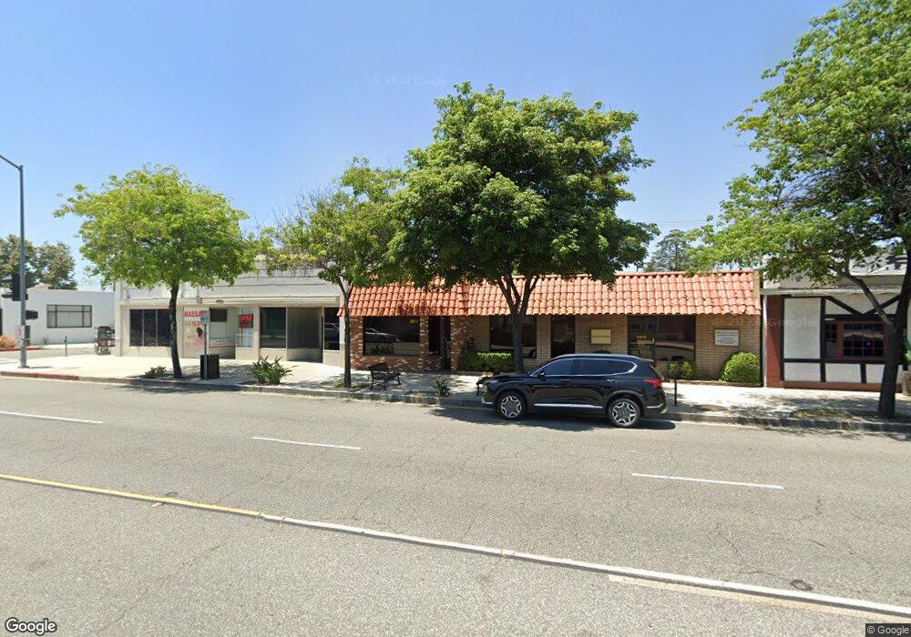
2017 W Burbank Blvd Burbank, CA 91506
Northwest District NeighborhoodEstimated Value: $1,564,477
Studio
--
Bath
2,944
Sq Ft
$531/Sq Ft
Est. Value
About This Home
This home is located at 2017 W Burbank Blvd, Burbank, CA 91506 and is currently estimated at $1,564,477, approximately $531 per square foot. 2017 W Burbank Blvd is a home located in Los Angeles County with nearby schools including Thomas Edison Elementary School, Luther Burbank Middle School, and John Burroughs High School.
Ownership History
Date
Name
Owned For
Owner Type
Purchase Details
Closed on
May 4, 1999
Sold by
Newland Investors 8
Bought by
Tapang Ma Asuncion M
Current Estimated Value
Home Financials for this Owner
Home Financials are based on the most recent Mortgage that was taken out on this home.
Original Mortgage
$297,000
Outstanding Balance
$76,104
Interest Rate
6.94%
Mortgage Type
Commercial
Estimated Equity
$1,500,363
Create a Home Valuation Report for This Property
The Home Valuation Report is an in-depth analysis detailing your home's value as well as a comparison with similar homes in the area
Home Values in the Area
Average Home Value in this Area
Purchase History
| Date | Buyer | Sale Price | Title Company |
|---|---|---|---|
| Tapang Ma Asuncion M | $330,000 | Commonwealth Land Title |
Source: Public Records
Mortgage History
| Date | Status | Borrower | Loan Amount |
|---|---|---|---|
| Open | Tapang Ma Asuncion M | $297,000 |
Source: Public Records
Map
Nearby Homes
- 1817 W Burbank Blvd
- 900 N Parish Place
- 901 N Reese Place
- 1138 N Parish Place
- 1339 N Brighton St
- 831 N Beachwood Dr
- 1640 N Lincoln St
- 835 N Lincoln St
- 1331 N Lamer St
- 702 N Reese Place
- 801 N Myers St
- 649 N Reese Place
- 1505 N Naomi St
- 1333 N Naomi St
- 1701 N Buena Vista St
- 1304 N Griffith Park Dr
- 1506 N Niagara St
- 618 N Mariposa St
- 1335 N Niagara St
- 532 N Reese Place
- 2011 W Burbank Blvd
- 1200 N Keystone St
- 2007 W Burbank Blvd
- 1202 N Keystone St
- 1115 N Keystone St
- 2012 W Burbank Blvd
- 2010 W Burbank Blvd
- 1119 N Keystone St
- 1011 N Lamer St
- 1201 N Keystone St
- 1910 W Burbank Blvd
- 1013 N Lamer St
- 1209 N Keystone St
- 935 N Lamer St
- 1210 N Keystone St
- 1122 N Myers St
- 1034 N Keystone St
- 1112 N Myers St
- 1124 N Myers St
- 1021 N Lamer St
Your Personal Tour Guide
Ask me questions while you tour the home.