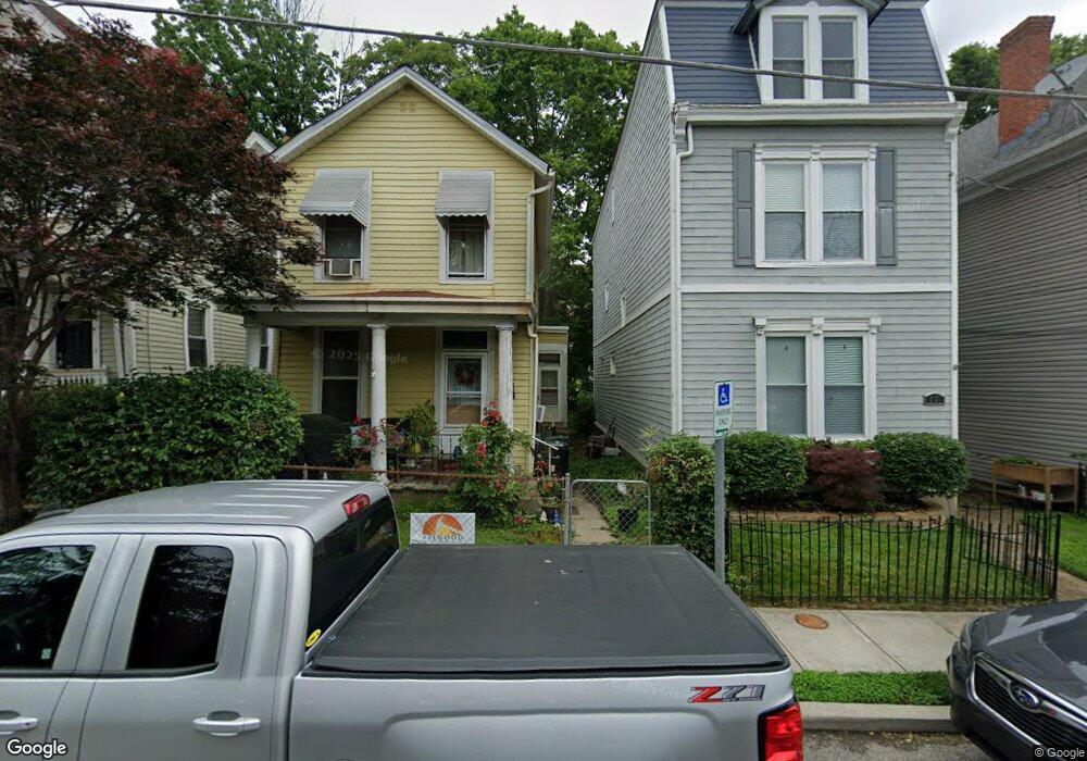
2018 Breen St Cincinnati, OH 45208
Hyde Park NeighborhoodEstimated Value: $238,782 - $561,000
2
Beds
1
Bath
1,297
Sq Ft
$283/Sq Ft
Est. Value
About This Home
This home is located at 2018 Breen St, Cincinnati, OH 45208 and is currently estimated at $367,446, approximately $283 per square foot. 2018 Breen St is a home located in Hamilton County with nearby schools including Withrow University High School, Clark Montessori High School, and Shroder High School.
Ownership History
Date
Name
Owned For
Owner Type
Purchase Details
Closed on
Jan 27, 2012
Sold by
Lehnhoff Barbara J
Bought by
Thatcher Lisa A
Current Estimated Value
Purchase Details
Closed on
Sep 11, 2010
Sold by
Thatcher Lisa A
Bought by
Thatcher Lisa A and Thatcher Jeff
Purchase Details
Closed on
Aug 10, 2010
Sold by
Estate Of Lucielle J Doyle
Bought by
Lehnhoff Barbara J and Reineke Mary
Purchase Details
Closed on
Apr 21, 2005
Sold by
Fiege Henry Charles
Bought by
Doyle Lucille
Create a Home Valuation Report for This Property
The Home Valuation Report is an in-depth analysis detailing your home's value as well as a comparison with similar homes in the area
Home Values in the Area
Average Home Value in this Area
Purchase History
| Date | Buyer | Sale Price | Title Company |
|---|---|---|---|
| Thatcher Lisa A | -- | Attorney | |
| Thatcher Lisa A | -- | Attorney | |
| Lehnhoff Barbara J | -- | None Available | |
| Doyle Lucille | $42,500 | None Available | |
| Fiege Henry Charles | -- | None Available |
Source: Public Records
Tax History
| Year | Tax Paid | Tax Assessment Tax Assessment Total Assessment is a certain percentage of the fair market value that is determined by local assessors to be the total taxable value of land and additions on the property. | Land | Improvement |
|---|---|---|---|---|
| 2025 | $3,277 | $63,420 | $30,688 | $32,732 |
| 2024 | $3,181 | $63,420 | $30,688 | $32,732 |
| 2023 | $3,305 | $63,420 | $30,688 | $32,732 |
| 2022 | $2,585 | $46,810 | $20,374 | $26,436 |
| 2021 | $2,476 | $46,810 | $20,374 | $26,436 |
| 2020 | $2,564 | $46,810 | $20,374 | $26,436 |
| 2019 | $2,635 | $44,580 | $19,404 | $25,176 |
| 2018 | $2,639 | $44,580 | $19,404 | $25,176 |
| 2017 | $2,499 | $44,580 | $19,404 | $25,176 |
| 2016 | $2,185 | $39,750 | $18,361 | $21,389 |
| 2015 | $1,977 | $39,750 | $18,361 | $21,389 |
| 2014 | $1,992 | $39,750 | $18,361 | $21,389 |
| 2013 | $2,397 | $36,467 | $16,846 | $19,621 |
Source: Public Records
Map
Nearby Homes
- 18 Elmhurst Place
- 3048 O Bryon St
- 1909 Pogue Ave
- 1906 Pogue Ave
- 2120 Pogue Ave
- 1998 Fairfax Ave
- 2270 Madison Rd
- 1989 Kinney Ave
- 2957 Annwood St
- 2324 Madison Rd Unit 404
- 2526 Riverside Dr
- 3330 Evanston Ave
- 1930 Kinney Ave
- 2485 Riverside Dr
- 2374 Madison Rd
- 1942 Hewitt Ave
- 2380 Madison Rd
- 3235 Wold Ave
- 2734 Hoff Ave
- 1815 William Howard Taft Rd
- 2020 Breen St
- 2016 Breen St
- 2014 Breen St
- 2022 Breen St
- 2024 Breen St
- 2012 Breen St
- 2015 Freeland Ave
- 2026 Breen St
- 2009 Freeland Ave
- 2017 Freeland Ave
- 2007 Freeland Ave
- 2028 Breen St
- 2008 Breen St
- 2021 Freeland Ave
- 2005 Freeland Ave
- 2006 Breen St
- 2003 Freeland Ave
- 2004 Breen St
- 2126 Herrick Ave
- 2124 Herrick Ave
Your Personal Tour Guide
Ask me questions while you tour the home.