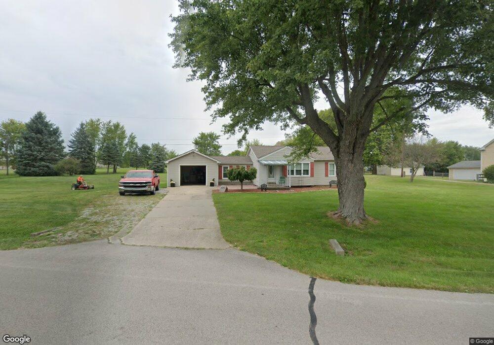
2018 Kirby Rd Lebanon, OH 45036
Turtlecreek Township NeighborhoodEstimated Value: $218,000 - $301,000
2
Beds
1
Bath
1,160
Sq Ft
$221/Sq Ft
Est. Value
About This Home
This home is located at 2018 Kirby Rd, Lebanon, OH 45036 and is currently estimated at $256,280, approximately $220 per square foot. 2018 Kirby Rd is a home located in Warren County with nearby schools including Clearcreek Elementary School, Dennis Elementary School, and Springboro Intermediate School.
Ownership History
Date
Name
Owned For
Owner Type
Purchase Details
Closed on
Oct 26, 2015
Sold by
Bajeca Vicki E
Bought by
Bajeca Vicki E and Vicki E Hamilton Living Trust
Current Estimated Value
Purchase Details
Closed on
Feb 19, 1999
Sold by
Loeb Trust
Bought by
Hamilton Vicki E
Home Financials for this Owner
Home Financials are based on the most recent Mortgage that was taken out on this home.
Original Mortgage
$30,000
Outstanding Balance
$7,186
Interest Rate
6.88%
Mortgage Type
New Conventional
Estimated Equity
$249,094
Purchase Details
Closed on
Mar 8, 1995
Sold by
Coldiron Maxine
Bought by
Loeb Trust & Bernard H Wright Jr Trustee
Create a Home Valuation Report for This Property
The Home Valuation Report is an in-depth analysis detailing your home's value as well as a comparison with similar homes in the area
Home Values in the Area
Average Home Value in this Area
Purchase History
| Date | Buyer | Sale Price | Title Company |
|---|---|---|---|
| Bajeca Vicki E | -- | Attorney | |
| Bajeca Vicki E | -- | America Homeland Title | |
| Hamilton Vicki E | $77,500 | -- | |
| Loeb Trust & Bernard H Wright Jr Trustee | $75,000 | -- |
Source: Public Records
Mortgage History
| Date | Status | Borrower | Loan Amount |
|---|---|---|---|
| Open | Hamilton Vicki E | $30,000 |
Source: Public Records
Tax History Compared to Growth
Tax History
| Year | Tax Paid | Tax Assessment Tax Assessment Total Assessment is a certain percentage of the fair market value that is determined by local assessors to be the total taxable value of land and additions on the property. | Land | Improvement |
|---|---|---|---|---|
| 2024 | $2,090 | $62,280 | $16,020 | $46,260 |
| 2023 | $2,018 | $45,759 | $6,303 | $39,455 |
| 2022 | $1,491 | $34,199 | $6,304 | $27,895 |
| 2021 | $1,384 | $34,199 | $6,304 | $27,895 |
| 2020 | $1,408 | $28,980 | $5,341 | $23,639 |
| 2019 | $1,416 | $28,980 | $5,341 | $23,639 |
| 2018 | $1,282 | $28,980 | $5,341 | $23,639 |
| 2017 | $1,367 | $27,825 | $5,212 | $22,614 |
| 2016 | $1,412 | $27,825 | $5,212 | $22,614 |
| 2015 | $1,424 | $27,825 | $5,212 | $22,614 |
| 2014 | $1,393 | $26,010 | $4,870 | $21,130 |
| 2013 | $1,385 | $28,510 | $5,340 | $23,170 |
Source: Public Records
Map
Nearby Homes
- 1801 Kirby Rd
- 2266 N St Rt 123
- 2266 N St Rt 123 Unit Site D
- 2266 Ohio 123
- 2266 Ohio 123 Unit Site C
- 2266 Ohio 123 Unit Site A
- 2266 Ohio 123 Unit Site B
- 3562 Aniston Ct
- 0 Aniston Ct Unit 1824950
- 0 Aniston Ct
- 3626 Colton Ct
- 0 Colton Ct Unit 1824949
- 2 Colton Ct
- 0 Colton Ct
- 02 Colton Ct
- 3092 Canvasback Ct
- 3086 Canvasback Ct
- 3080 Canvasback Ct
- 3074 Canvasback Ct
- 3095 Canvasback Ct