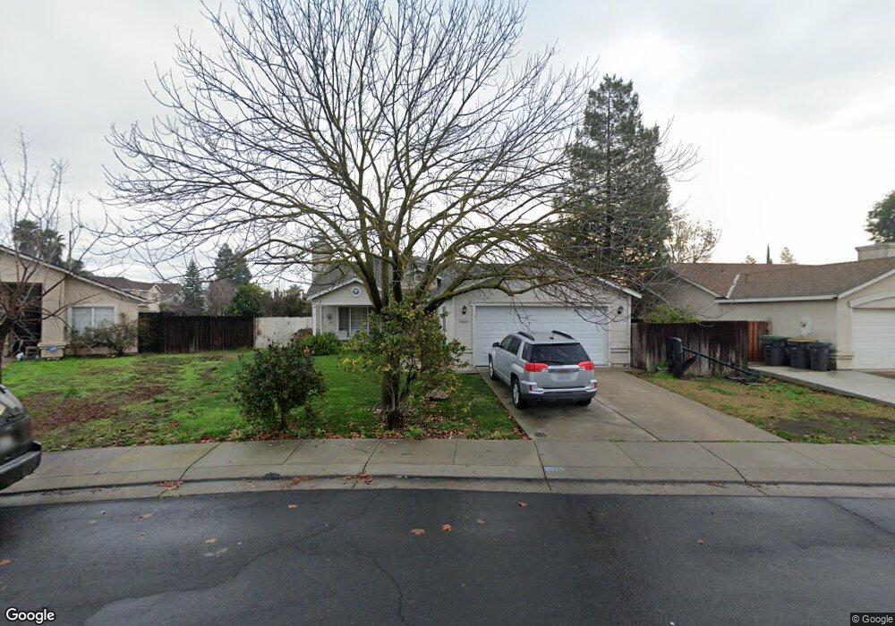
2018 Moncado Dr Stockton, CA 95206
Seaport NeighborhoodEstimated Value: $244,000 - $395,541
3
Beds
2
Baths
1,078
Sq Ft
$329/Sq Ft
Est. Value
About This Home
This home is located at 2018 Moncado Dr, Stockton, CA 95206 and is currently estimated at $354,385, approximately $328 per square foot. 2018 Moncado Dr is a home located in San Joaquin County with nearby schools including San Joaquin Elementary School, John Marshall Elementary School, and Taylor Leadership Academy.
Ownership History
Date
Name
Owned For
Owner Type
Purchase Details
Closed on
May 9, 2000
Sold by
Davis Sandra L
Bought by
Cisneros Rafael and Cisneros Maricela
Current Estimated Value
Home Financials for this Owner
Home Financials are based on the most recent Mortgage that was taken out on this home.
Original Mortgage
$119,019
Outstanding Balance
$41,354
Interest Rate
8.22%
Mortgage Type
FHA
Estimated Equity
$313,031
Purchase Details
Closed on
May 12, 1997
Sold by
Davis Sandra L and Ruiz Sandra L
Bought by
Davis Sandra L
Purchase Details
Closed on
Nov 28, 1995
Sold by
Ruiz Manuel G
Bought by
Ruiz Sandra L
Home Financials for this Owner
Home Financials are based on the most recent Mortgage that was taken out on this home.
Original Mortgage
$84,050
Interest Rate
7.42%
Mortgage Type
FHA
Create a Home Valuation Report for This Property
The Home Valuation Report is an in-depth analysis detailing your home's value as well as a comparison with similar homes in the area
Home Values in the Area
Average Home Value in this Area
Purchase History
| Date | Buyer | Sale Price | Title Company |
|---|---|---|---|
| Cisneros Rafael | $120,000 | Central Valley Title Company | |
| Davis Sandra L | -- | -- | |
| Ruiz Sandra L | -- | Old Republic Title Company | |
| Ruiz Sandra L | $85,500 | Old Republic Title Company |
Source: Public Records
Mortgage History
| Date | Status | Borrower | Loan Amount |
|---|---|---|---|
| Open | Cisneros Rafael | $119,019 | |
| Previous Owner | Ruiz Sandra L | $84,050 |
Source: Public Records
Tax History Compared to Growth
Tax History
| Year | Tax Paid | Tax Assessment Tax Assessment Total Assessment is a certain percentage of the fair market value that is determined by local assessors to be the total taxable value of land and additions on the property. | Land | Improvement |
|---|---|---|---|---|
| 2025 | $2,366 | $184,420 | $46,102 | $138,318 |
| 2024 | $2,326 | $180,805 | $45,199 | $135,606 |
| 2023 | $2,272 | $177,261 | $44,313 | $132,948 |
| 2022 | $2,128 | $173,787 | $43,445 | $130,342 |
| 2021 | $2,049 | $170,381 | $42,594 | $127,787 |
| 2020 | $2,087 | $168,635 | $42,158 | $126,477 |
| 2019 | $2,078 | $165,330 | $41,332 | $123,998 |
| 2018 | $2,470 | $162,089 | $40,522 | $121,567 |
| 2017 | $2,271 | $158,912 | $39,728 | $119,184 |
| 2016 | $2,284 | $155,797 | $38,949 | $116,848 |
| 2014 | $2,067 | $142,000 | $43,000 | $99,000 |
Source: Public Records
Map
Nearby Homes
- 1823 Fort Hall Place
- 2050 Grey Stone Dr
- 2128 Green River Ln
- 2650 S Fresno Ave
- 1409 Laguna Cir
- 1413 Laguna Cir
- 1156 Derrick Dr
- 1232 Denver Ave
- 2242 Port Trinity Cir
- 864 W 5th St
- 1661 W Hazelton Ave
- 309 S Los Angeles Ave
- 2215 Dune Place
- 348 S Los Angeles Ave
- 1765 W Sonora St
- 510- S Pershing Ave
- 2079 Gordon Verner Cir
- 2402 Sailboat Ct
- 2428 Shell Ct
- 3745 Wild Rose Ln
- 2036 Moncado Dr
- 2088 Burney Falls Dr
- 2004 Moncado Dr
- 2042 Moncado Dr
- 2103 Wall St
- 2076 Burney Falls Dr
- 2112 Wall St
- 2011 Claycomb Way
- 2060 Moncado Dr
- 2095 Nevada St
- 2111 Wall St
- 2062 Burney Falls Dr
- 2105 Yuba River Ct
- 2120 Wall St
- 2074 Moncado Dr
- 2077 Burney Falls Dr
- 2025 Claycomb Way
- 2119 Wall St
- 2050 Burney Falls Dr
- 2083 Nevada St