20182 586th Ln Mankato, MN 56001
Estimated Value: $792,000 - $953,326
3
Beds
2
Baths
3,600
Sq Ft
$246/Sq Ft
Est. Value
About This Home
This home is located at 20182 586th Ln, Mankato, MN 56001 and is currently estimated at $884,832, approximately $245 per square foot. 20182 586th Ln is a home located in Blue Earth County with nearby schools including Rosa Parks Elementary School, Prairie Winds Middle School, and Mankato East Senior High School.
Ownership History
Date
Name
Owned For
Owner Type
Purchase Details
Closed on
Feb 24, 2020
Sold by
Dailey James J and Dailey Willa N
Bought by
Davis Thomas C and Davis Elaine C
Current Estimated Value
Home Financials for this Owner
Home Financials are based on the most recent Mortgage that was taken out on this home.
Original Mortgage
$320,875
Outstanding Balance
$284,717
Interest Rate
3.6%
Mortgage Type
New Conventional
Estimated Equity
$600,115
Create a Home Valuation Report for This Property
The Home Valuation Report is an in-depth analysis detailing your home's value as well as a comparison with similar homes in the area
Home Values in the Area
Average Home Value in this Area
Purchase History
| Date | Buyer | Sale Price | Title Company |
|---|---|---|---|
| Davis Thomas C | $377,500 | Compeer Title |
Source: Public Records
Mortgage History
| Date | Status | Borrower | Loan Amount |
|---|---|---|---|
| Open | Davis Thomas C | $320,875 |
Source: Public Records
Tax History Compared to Growth
Tax History
| Year | Tax Paid | Tax Assessment Tax Assessment Total Assessment is a certain percentage of the fair market value that is determined by local assessors to be the total taxable value of land and additions on the property. | Land | Improvement |
|---|---|---|---|---|
| 2025 | $7,062 | $892,500 | $89,000 | $803,500 |
| 2024 | $7,062 | $745,900 | $89,000 | $656,900 |
| 2023 | $800 | $291,000 | $89,000 | $202,000 |
| 2022 | $1,226 | $97,000 | $89,000 | $8,000 |
| 2021 | $1,204 | $141,200 | $89,000 | $52,200 |
| 2020 | $1,100 | $151,200 | $72,000 | $79,200 |
| 2019 | $1,132 | $151,200 | $72,000 | $79,200 |
| 2018 | $1,052 | $154,500 | $72,000 | $82,500 |
| 2017 | $1,154 | $145,700 | $72,000 | $73,700 |
| 2016 | $1,100 | $161,000 | $70,300 | $90,700 |
| 2015 | $11 | $156,500 | $70,400 | $86,100 |
| 2014 | $1,164 | $139,000 | $60,000 | $79,000 |
Source: Public Records
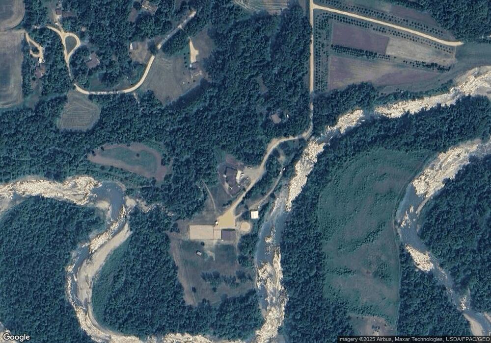
Map
Nearby Homes
- 58560 Kirkwood Rd
- 510 River Hills Rd
- 19997 State Highway 22
- 0 Tbd S Highway 22 Hwy Unit Sect 28 Township 10
- 1011 Saba Blvd
- 1010 Mahoe Way
- 1014 Mahoe Way
- 1031 Saba Blvd
- 1035 Saba
- 1041 Saba Blvd
- 1026 Way
- 1026 Mahoe Way
- 1051 Saba Blvd
- 1030 Mahoe Way
- 1055 Saba Blvd
- 1034 Mahoe Way
- 2011 Mahoe Cir
- 2015 Saba Blvd
- 20164 586th Ln
- 180 Valley Creek Rd
- 190 Valley Creek Rd
- 50 Valley Ridge Ct
- 19992 586th Ln
- 60 Valley Ridge Ct
- 130 Valley Creek Rd
- 58569 Kirkwood Rd
- 10 Valley Ridge Ct
- 150 Valley Creek Rd
- 20201 586th Ln
- 140 Valley Creek Rd
- 19996 586th Ln
- 40 Valley Ridge Ct
- 58552 Kirkwood Rd
- 20 Valley Ridge Ct
- 201 River Park Ct
- 30 Valley Ridge Ct
- 19987 586th Ln
- 134 Maple Park Dr