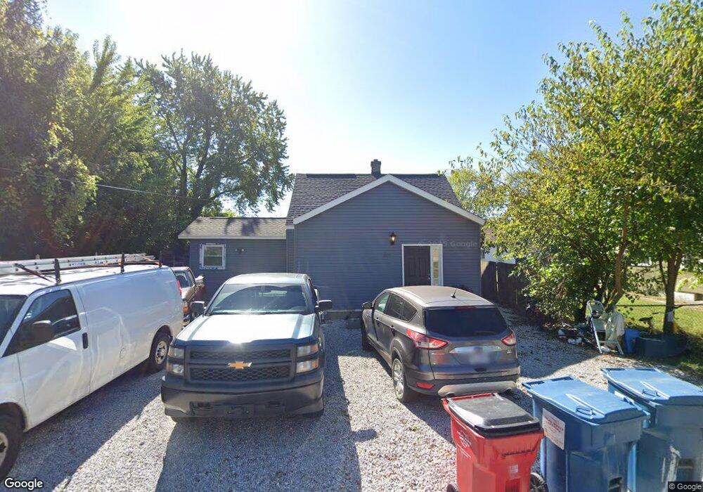
2019 Davis Ave Columbus, OH 43207
Obetz-Lockbourne NeighborhoodEstimated Value: $185,263 - $220,000
3
Beds
1
Bath
1,397
Sq Ft
$148/Sq Ft
Est. Value
About This Home
This home is located at 2019 Davis Ave, Columbus, OH 43207 and is currently estimated at $206,066, approximately $147 per square foot. 2019 Davis Ave is a home located in Franklin County with nearby schools including Hamilton Elementary School, Hamilton Intermediate School, and Hamilton Middle School.
Ownership History
Date
Name
Owned For
Owner Type
Purchase Details
Closed on
Jan 30, 2004
Sold by
Simon Mary Phyllis and Simon Phyllis
Bought by
Robey Shirley N and Robey Nancy J
Current Estimated Value
Home Financials for this Owner
Home Financials are based on the most recent Mortgage that was taken out on this home.
Original Mortgage
$82,000
Interest Rate
6.55%
Mortgage Type
Purchase Money Mortgage
Purchase Details
Closed on
Jun 1, 1978
Bought by
Simon Clifford E
Create a Home Valuation Report for This Property
The Home Valuation Report is an in-depth analysis detailing your home's value as well as a comparison with similar homes in the area
Home Values in the Area
Average Home Value in this Area
Purchase History
| Date | Buyer | Sale Price | Title Company |
|---|---|---|---|
| Robey Shirley N | $84,000 | Pinnacle Title | |
| Simon Clifford E | -- | -- |
Source: Public Records
Mortgage History
| Date | Status | Borrower | Loan Amount |
|---|---|---|---|
| Previous Owner | Robey Shirley N | $82,000 |
Source: Public Records
Tax History
| Year | Tax Paid | Tax Assessment Tax Assessment Total Assessment is a certain percentage of the fair market value that is determined by local assessors to be the total taxable value of land and additions on the property. | Land | Improvement |
|---|---|---|---|---|
| 2025 | $2,452 | $53,660 | $9,450 | $44,210 |
| 2024 | $2,452 | $53,660 | $9,450 | $44,210 |
| 2023 | $2,439 | $53,655 | $9,450 | $44,205 |
| 2022 | $1,949 | $35,950 | $3,430 | $32,520 |
| 2021 | $1,976 | $35,950 | $3,430 | $32,520 |
| 2020 | $2,012 | $35,950 | $3,430 | $32,520 |
| 2019 | $1,891 | $29,930 | $2,840 | $27,090 |
| 2018 | $1,559 | $29,930 | $2,840 | $27,090 |
| 2017 | $1,553 | $29,930 | $2,840 | $27,090 |
| 2016 | $1,322 | $20,440 | $1,120 | $19,320 |
| 2015 | $1,253 | $20,440 | $1,120 | $19,320 |
| 2014 | $1,247 | $20,440 | $1,120 | $19,320 |
| 2013 | $668 | $22,715 | $1,260 | $21,455 |
Source: Public Records
Map
Nearby Homes
- 2027 Reese Ave
- 4801 Obetz Reese Rd
- 1962 Reese Ave
- 1632 Marlboro Ave
- 1722 Obetz Ave
- 1559 Obetz Ave
- 5060 Ranger Dr Unit Lot 87
- 1132 Ayrshire Dr
- 2291 E Howard Rd
- 4412 Catamaran Dr
- 1359 Acuff Ave Unit Lot 115
- 1315 Webb Dr Unit Lot 93
- 2366 E Howard Rd
- 1307 Webb Dr Unit Lot 92
- 1583 Metcalfe Ave
- 1291 Webb Dr Unit Lot 90
- 5076 Ranger Dr Unit Lot 100
- 4310 Charlotte Rd
- 2535 Bridlewood Ct
- 4926 Meadowbrook Dr
Your Personal Tour Guide
Ask me questions while you tour the home.