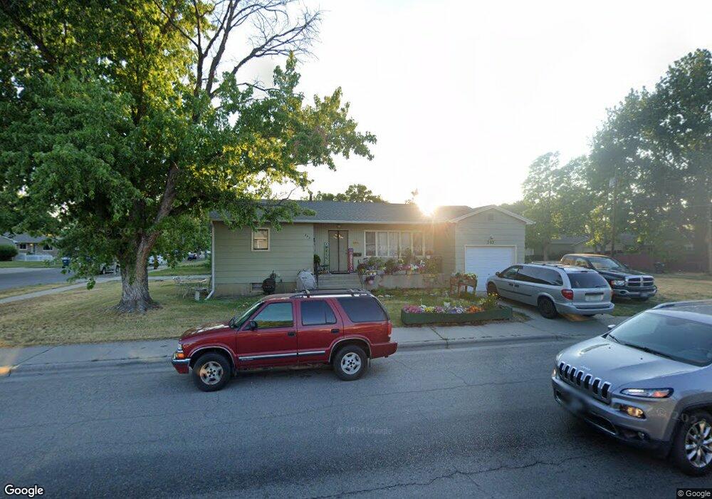
202 15th St W Billings, MT 59102
East Central Billings NeighborhoodEstimated Value: $296,000 - $321,000
4
Beds
3
Baths
1,080
Sq Ft
$285/Sq Ft
Est. Value
About This Home
This home is located at 202 15th St W, Billings, MT 59102 and is currently estimated at $308,304, approximately $285 per square foot. 202 15th St W is a home located in Yellowstone County with nearby schools including Miles Avenue School, Lewis & Clark Junior High School, and Billings West High School.
Ownership History
Date
Name
Owned For
Owner Type
Purchase Details
Closed on
Oct 6, 2006
Sold by
Paulson Clara L
Bought by
Corcoran James L and Corcoran Shelly L
Current Estimated Value
Home Financials for this Owner
Home Financials are based on the most recent Mortgage that was taken out on this home.
Original Mortgage
$108,000
Outstanding Balance
$64,339
Interest Rate
6.43%
Mortgage Type
New Conventional
Estimated Equity
$243,965
Create a Home Valuation Report for This Property
The Home Valuation Report is an in-depth analysis detailing your home's value as well as a comparison with similar homes in the area
Home Values in the Area
Average Home Value in this Area
Purchase History
| Date | Buyer | Sale Price | Title Company |
|---|---|---|---|
| Corcoran James L | -- | None Available |
Source: Public Records
Mortgage History
| Date | Status | Borrower | Loan Amount |
|---|---|---|---|
| Open | Corcoran James L | $108,000 |
Source: Public Records
Tax History Compared to Growth
Tax History
| Year | Tax Paid | Tax Assessment Tax Assessment Total Assessment is a certain percentage of the fair market value that is determined by local assessors to be the total taxable value of land and additions on the property. | Land | Improvement |
|---|---|---|---|---|
| 2025 | $2,622 | $259,100 | $49,110 | $209,990 |
| 2024 | $2,622 | $249,100 | $45,230 | $203,870 |
| 2023 | $2,630 | $249,100 | $45,230 | $203,870 |
| 2022 | $2,401 | $198,600 | $0 | $0 |
| 2021 | $2,289 | $198,600 | $0 | $0 |
| 2020 | $2,231 | $183,600 | $0 | $0 |
| 2019 | $2,126 | $183,600 | $0 | $0 |
| 2018 | $2,079 | $176,100 | $0 | $0 |
| 2017 | $2,014 | $176,100 | $0 | $0 |
| 2016 | $2,020 | $180,600 | $0 | $0 |
| 2015 | $1,988 | $180,600 | $0 | $0 |
| 2014 | $1,733 | $81,726 | $0 | $0 |
Source: Public Records
Map
Nearby Homes
- 305 17th St W
- 1231 Saint Johns Ave
- 1346 Broadwater Ave
- 1604 Wyoming Ave
- 621 Nelson Dr
- 1537 Wyoming Ave Unit D
- 1212 Concord Dr
- 1540 Yellowstone Ave Unit D
- 1122 Howard Ave
- 1310 Yellowstone Ave Unit 6
- 1310 Yellowstone Ave Unit 11
- 1310 Yellowstone Ave Unit 16
- 1113 Lynn Ave
- 1540 Clark Ave
- 112 11th St W
- 28 19th St W
- 16 19th St W
- 1256 & 1260 Yellowstone Ave
- 141 S 12th St W
- 1265 Yellowstone Ave