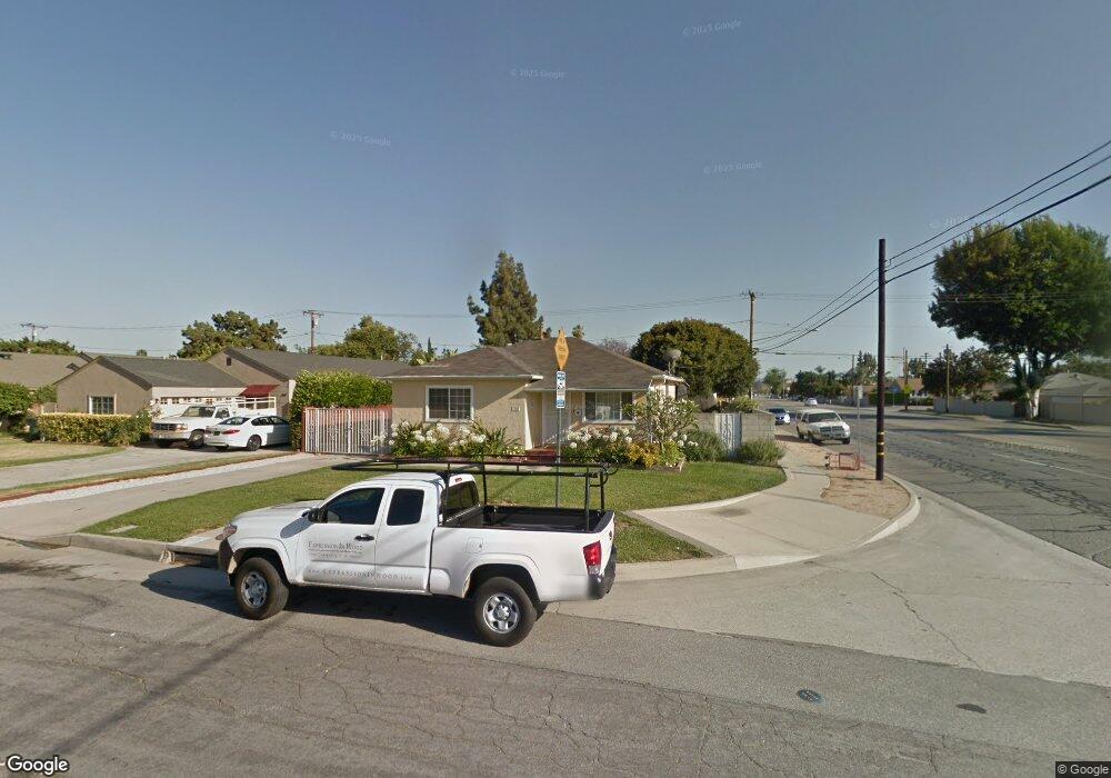
202 Andre St Monrovia, CA 91016
Mayflower Village NeighborhoodEstimated Value: $935,000 - $995,000
5
Beds
3
Baths
1,764
Sq Ft
$551/Sq Ft
Est. Value
About This Home
This home is located at 202 Andre St, Monrovia, CA 91016 and is currently estimated at $972,532, approximately $551 per square foot. 202 Andre St is a home located in Los Angeles County with nearby schools including Plymouth Elementary School, Santa Fe Computer Science Magnet, and Monrovia High School.
Ownership History
Date
Name
Owned For
Owner Type
Purchase Details
Closed on
Mar 27, 2025
Sold by
Paez James A and Paez Araceli
Bought by
Paez Family Trust and Paez
Current Estimated Value
Purchase Details
Closed on
Aug 27, 1996
Sold by
Federal National Mortgage Association
Bought by
Paez James A and Paez Araceli
Home Financials for this Owner
Home Financials are based on the most recent Mortgage that was taken out on this home.
Original Mortgage
$125,100
Interest Rate
7.87%
Mortgage Type
Seller Take Back
Purchase Details
Closed on
Jun 25, 1996
Sold by
Oller Alejandro H and Oller Maria L
Bought by
Federal National Mortgage Association
Create a Home Valuation Report for This Property
The Home Valuation Report is an in-depth analysis detailing your home's value as well as a comparison with similar homes in the area
Home Values in the Area
Average Home Value in this Area
Purchase History
We collect this data history from publicly available records. To have your information removed, we recommend requesting removal directly through your county’s website.
| Date | Buyer | Sale Price | Title Company |
|---|---|---|---|
| Paez Family Trust | -- | None Listed On Document | |
| Paez James A | $129,000 | First American | |
| Federal National Mortgage Association | $115,000 | American Title Ins Co |
Source: Public Records
Mortgage History
We collect this data history from publicly available records. To have your information removed, we recommend requesting removal directly through your county’s website.
| Date | Status | Borrower | Loan Amount |
|---|---|---|---|
| Previous Owner | Paez James A | $125,100 |
Source: Public Records
Tax History
| Year | Tax Paid | Tax Assessment Tax Assessment Total Assessment is a certain percentage of the fair market value that is determined by local assessors to be the total taxable value of land and additions on the property. | Land | Improvement |
|---|---|---|---|---|
| 2025 | $5,390 | $395,153 | $139,403 | $255,750 |
| 2024 | $5,094 | $387,406 | $136,670 | $250,736 |
| 2023 | $4,977 | $379,811 | $133,991 | $245,820 |
| 2022 | $3,283 | $240,381 | $131,364 | $109,017 |
| 2021 | $3,217 | $235,669 | $128,789 | $106,880 |
| 2019 | $3,068 | $228,681 | $124,970 | $103,711 |
| 2018 | $2,941 | $224,198 | $122,520 | $101,678 |
| 2016 | $2,822 | $215,494 | $117,763 | $97,731 |
| 2015 | $2,760 | $212,258 | $115,995 | $96,263 |
| 2014 | $2,741 | $208,101 | $113,723 | $94,378 |
Source: Public Records
Map
Nearby Homes
- 107 Brisbane St
- 2338 Rochelle Ave
- 2548 Peck Rd Unit 39
- 2548 Peck Rd
- 2508 Wesleygrove Ave
- 492 Shrode Ave
- 2654 Doray Cir
- 2640 Treelane Ave
- 2531 Calmia Rd
- 416 Jeffries Ave Unit 60
- 416 Jeffries Ave Unit 84
- 1104 E Camino Real Ave
- 2559 Mayflower Ave
- 762 E El Sur St
- 2935 Spruce Ct Unit 91
- 2851 Fairgreen Ave
- 4389 Maple Ln
- 2966 Brown Oak Way
- 1201 S 10th Ave
- 4323 Jasmine Ln
- 203 Andre St
- 209 Andre St
- 215 Andre St
- 202 E Camino Real
- 210 E Camino Real
- 2425 S Myrtle Ave Unit A
- 2425 S Myrtle Ave Unit B
- 2425 S Myrtle Ave
- 219 Andre St
- 2423 S Myrtle Ave
- 216 E Camino Real
- 208 Andre St
- 157 Andre St
- 222 E Camino Real
- 164 E Camino Real
- 225 Andre St
- 162 Andre St
- 214 Andre St
- 218 Andre St
- 228 E Camino Real
Your Personal Tour Guide
Ask me questions while you tour the home.