202 Brae Burn Dr Jackson, MS 39211
North Jackson NeighborhoodEstimated Value: $460,000 - $536,000
6
Beds
4
Baths
3,446
Sq Ft
$142/Sq Ft
Est. Value
About This Home
This home is located at 202 Brae Burn Dr, Jackson, MS 39211 and is currently estimated at $490,602, approximately $142 per square foot. 202 Brae Burn Dr is a home located in Hinds County with nearby schools including McLeod Elementary School, Murrah High School, and Revive Collegiate.
Ownership History
Date
Name
Owned For
Owner Type
Purchase Details
Closed on
Feb 22, 2021
Sold by
Conway Sigrid A
Bought by
Conway Sigrid A and Conway John A
Current Estimated Value
Home Financials for this Owner
Home Financials are based on the most recent Mortgage that was taken out on this home.
Original Mortgage
$314,000
Outstanding Balance
$280,838
Interest Rate
2.7%
Mortgage Type
Purchase Money Mortgage
Estimated Equity
$209,764
Create a Home Valuation Report for This Property
The Home Valuation Report is an in-depth analysis detailing your home's value as well as a comparison with similar homes in the area
Home Values in the Area
Average Home Value in this Area
Purchase History
| Date | Buyer | Sale Price | Title Company |
|---|---|---|---|
| Conway Sigrid A | -- | None Available |
Source: Public Records
Mortgage History
| Date | Status | Borrower | Loan Amount |
|---|---|---|---|
| Open | Conway Sigrid A | $314,000 |
Source: Public Records
Tax History
| Year | Tax Paid | Tax Assessment Tax Assessment Total Assessment is a certain percentage of the fair market value that is determined by local assessors to be the total taxable value of land and additions on the property. | Land | Improvement |
|---|---|---|---|---|
| 2025 | $5,660 | $37,452 | $9,975 | $27,477 |
| 2024 | $5,660 | $36,780 | $9,975 | $26,805 |
| 2023 | $5,660 | $36,780 | $9,975 | $26,805 |
| 2022 | $7,078 | $36,780 | $9,975 | $26,805 |
| 2021 | $5,634 | $36,780 | $9,975 | $26,805 |
| 2020 | $5,523 | $36,370 | $9,975 | $26,395 |
| 2019 | $5,795 | $37,768 | $9,975 | $27,793 |
| 2018 | $5,731 | $37,768 | $9,975 | $27,793 |
| 2017 | $5,578 | $37,742 | $9,975 | $27,767 |
| 2016 | $5,578 | $37,742 | $9,975 | $27,767 |
| 2015 | $5,461 | $38,004 | $9,975 | $28,029 |
| 2014 | $5,454 | $38,004 | $9,975 | $28,029 |
Source: Public Records
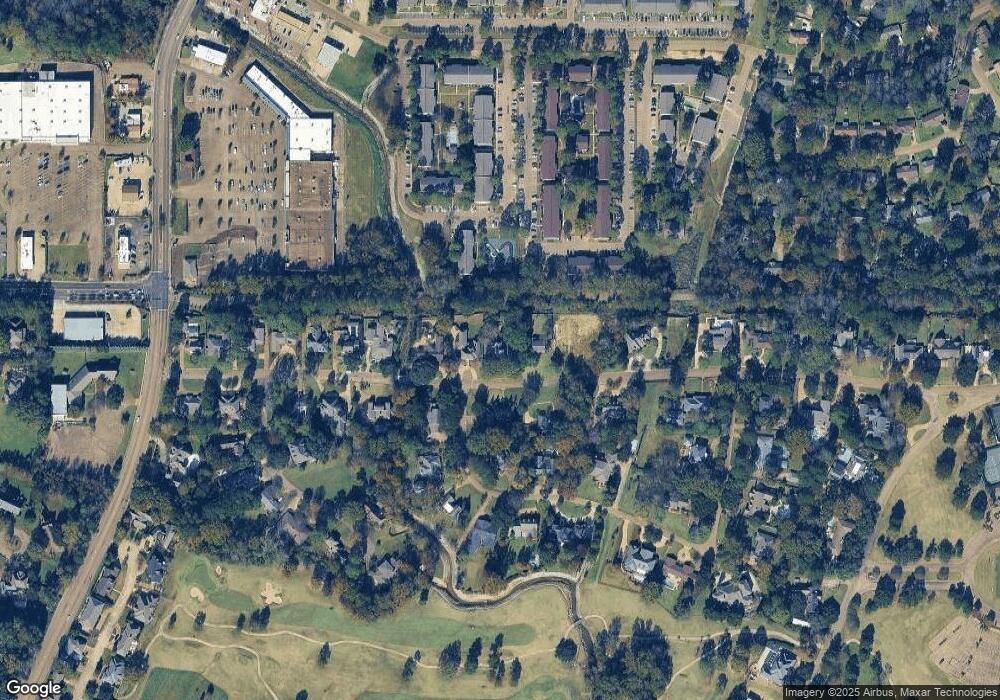
Map
Nearby Homes
- 101 Olympia Fields
- 105 Brae Burn Dr
- 9 Glen Eagles Dr
- 420 Saint Andrews Dr Unit B2.4
- 450 Saint Andrews Dr
- 460 Saint Andrews Dr
- 127 Winged Foot Cir
- 919 Montrose Dr
- 58 Robinwood Place
- 915 Montrose Dr
- 47A Northtown Cir
- 913 Glastonbury Cir Unit B
- 28 Park Crest Place
- 735 Wicklow Place Unit A
- 29 Park Crest Place
- 14 Autumn Hill Place
- 47 Avery Cir
- 2455 River Oaks Blvd Unit A & B
- 2443 River Oaks Blvd Unit A&B
- 0 Autumn Hill Ct Unit 17
- 200 Brae Burn Dr
- 201 Brae Burn Dr
- 158 Brae Burn Dr
- 209 Brae Burn Dr
- 218 Brae Burn Dr
- 150 Brae Burn Dr
- 110 Olympia Fields
- 126 Olympia Fields
- 217 Brae Burn Dr
- 151 Brae Burn Dr
- 220 Brae Burn Dr
- 105 Olympia Fields
- 144 Brae Burn Dr
- 134 Olympia Fields
- 145 Brae Burn Dr
- 111 Olympia Fields
- 134 Brae Burn Dr
- 109 Pine Knoll Dr
- 109 Pine Knoll Dr
- 133 Olympia Fields
Your Personal Tour Guide
Ask me questions while you tour the home.