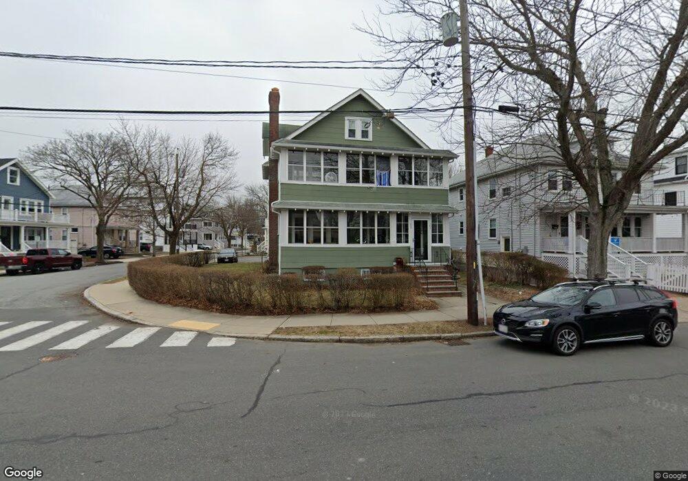
202 Broadway Unit 204 Arlington, MA 02474
East Arlington NeighborhoodEstimated Value: $1,355,000 - $1,495,549
7
Beds
4
Baths
3,974
Sq Ft
$360/Sq Ft
Est. Value
About This Home
This home is located at 202 Broadway Unit 204, Arlington, MA 02474 and is currently estimated at $1,431,637, approximately $360 per square foot. 202 Broadway Unit 204 is a home located in Middlesex County with nearby schools including Thompson School, Ottoson Middle School, and Arlington High School.
Ownership History
Date
Name
Owned For
Owner Type
Purchase Details
Closed on
Oct 12, 2023
Sold by
Meehan William P Est and Meehan
Bought by
William P Meehan 2018 T P and William Golden
Current Estimated Value
Create a Home Valuation Report for This Property
The Home Valuation Report is an in-depth analysis detailing your home's value as well as a comparison with similar homes in the area
Home Values in the Area
Average Home Value in this Area
Purchase History
| Date | Buyer | Sale Price | Title Company |
|---|---|---|---|
| William P Meehan 2018 T P | -- | None Available |
Source: Public Records
Tax History Compared to Growth
Tax History
| Year | Tax Paid | Tax Assessment Tax Assessment Total Assessment is a certain percentage of the fair market value that is determined by local assessors to be the total taxable value of land and additions on the property. | Land | Improvement |
|---|---|---|---|---|
| 2025 | $12,388 | $1,150,200 | $574,100 | $576,100 |
| 2024 | $11,424 | $1,078,800 | $546,500 | $532,300 |
| 2023 | $11,498 | $1,025,700 | $458,200 | $567,500 |
| 2022 | $11,469 | $1,004,300 | $441,600 | $562,700 |
| 2021 | $11,115 | $980,200 | $441,600 | $538,600 |
| 2020 | $10,850 | $981,000 | $441,600 | $539,400 |
| 2019 | $9,982 | $886,500 | $469,200 | $417,300 |
| 2018 | $9,214 | $759,600 | $342,300 | $417,300 |
| 2017 | $8,684 | $691,400 | $298,100 | $393,300 |
| 2016 | $8,284 | $647,200 | $253,900 | $393,300 |
| 2015 | $8,161 | $602,300 | $248,400 | $353,900 |
Source: Public Records
Map
Nearby Homes
- 42-44 Warren St Unit 42
- 25-27 Adams St
- 77 Warren St Unit A
- 41 Palmer St Unit 43
- 27 Dartmouth St Unit 29
- 18 Belknap St Unit 2
- 18 Belknap St Unit 1
- 94 Rawson Rd Unit 94
- 230 Massachusetts Ave Unit 6
- 132 Rawson Rd Unit 132
- 23 Yale Rd
- 22 Hamilton Rd Unit 206
- 215 Massachusetts Ave Unit 19 (34)
- 167 Franklin St Unit 167
- 6 Gordon Rd
- 69 Arlington St
- 35 Windsor St Unit 1
- 12 Arizona Terrace Unit 2
- 166 Arlington St
- 97 Mystic St Unit B
- 206-208 Broadway
- 206 Broadway Unit 208
- 208 Broadway
- 200 Broadway
- 66 Foster St Unit 68
- 66 Foster St Unit 66
- 66 Foster St
- 68 Foster St
- 68 Foster St
- 999 Busy St
- 777 Confidential St
- 75 Foster St Unit 2
- 73 Foster St Unit 75
- 73 Foster St Unit 1
- 210 Broadway Unit 212
- 196 Broadway Unit 198
- 199 Broadway Unit 2
- 199 Broadway Unit 1
- 199 Broadway Unit 199
- 199 Broadway