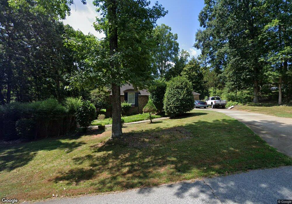
202 Brookgreen Dr Anderson, SC 29625
Estimated Value: $306,636 - $344,000
3
Beds
--
Bath
2,314
Sq Ft
$143/Sq Ft
Est. Value
About This Home
This home is located at 202 Brookgreen Dr, Anderson, SC 29625 and is currently estimated at $330,409, approximately $142 per square foot. 202 Brookgreen Dr is a home located in Anderson County with nearby schools including Whitehall Elementary School, Westside High School, and Anderson Institute of Technology.
Ownership History
Date
Name
Owned For
Owner Type
Purchase Details
Closed on
Aug 30, 2017
Sold by
Siders Carl W and Siders Loretta J
Bought by
Segars Shawn M and Segars Kathleen X
Current Estimated Value
Home Financials for this Owner
Home Financials are based on the most recent Mortgage that was taken out on this home.
Original Mortgage
$203,000
Outstanding Balance
$169,792
Interest Rate
3.96%
Mortgage Type
VA
Estimated Equity
$160,617
Create a Home Valuation Report for This Property
The Home Valuation Report is an in-depth analysis detailing your home's value as well as a comparison with similar homes in the area
Home Values in the Area
Average Home Value in this Area
Purchase History
| Date | Buyer | Sale Price | Title Company |
|---|---|---|---|
| Segars Shawn M | $203,000 | None Available |
Source: Public Records
Mortgage History
| Date | Status | Borrower | Loan Amount |
|---|---|---|---|
| Open | Segars Shawn M | $203,000 |
Source: Public Records
Tax History Compared to Growth
Tax History
| Year | Tax Paid | Tax Assessment Tax Assessment Total Assessment is a certain percentage of the fair market value that is determined by local assessors to be the total taxable value of land and additions on the property. | Land | Improvement |
|---|---|---|---|---|
| 2024 | $40 | $9,730 | $1,240 | $8,490 |
| 2023 | $40 | $9,730 | $1,240 | $8,490 |
| 2022 | $1,112 | $9,730 | $1,240 | $8,490 |
| 2021 | $992 | $8,070 | $800 | $7,270 |
| 2020 | $982 | $12,110 | $1,200 | $10,910 |
| 2019 | $3,953 | $12,110 | $1,200 | $10,910 |
| 2018 | $3,900 | $12,110 | $1,200 | $10,910 |
| 2017 | -- | $8,700 | $800 | $7,900 |
| 2016 | $616 | $7,830 | $800 | $7,030 |
| 2015 | $631 | $7,830 | $800 | $7,030 |
| 2014 | $631 | $7,830 | $800 | $7,030 |
Source: Public Records
Map
Nearby Homes
- 211 Phil Watson Rd
- 505 Brookgreen Ct
- 401 Phil Watson Rd
- 408 Greenbriar Ln
- 402 Long Forest Cir
- 4214 Hembree Creek Rd
- 212 Middleton Shores Dr
- 4314 Old Mill Rd
- 105-107 Independence Path
- 103 Northlake Dr
- 4115 Liberty Hwy
- 104 Sydney Ct
- 1602 Northlake Dr
- 203 Northlake Dr Unit 2C
- 202 Northlake Dr Unit 2B
- 302 Northlake Dr Unit 3B
- 404 Northlake Dr Unit 4D
- 1210 Northlake Dr Unit 12 J
- 1106 Northlake Dr Unit 11F
- 1011 Northlake Dr Unit 10K
- 204 Brookgreen Dr
- 205 Huntington Dr
- 203 Brookgreen Dr
- 200 Huntington Dr
- 201 Brookgreen Dr
- 107 Huntington Dr
- 102 Huntington Dr
- 205 Brookgreen Dr
- 206 Huntington Dr
- 204 Huntington Dr
- 207 Huntington Dr
- 105 Huntington Dr
- 210 Brookgreen Dr
- 209 Phil Watson Rd
- 208 Huntington Dr
- 208 Huntington Dr
- 4106 Aloha Dr
- 4108 Aloha Dr
- 213 Phil Watson Rd
- 4104 Aloha Dr