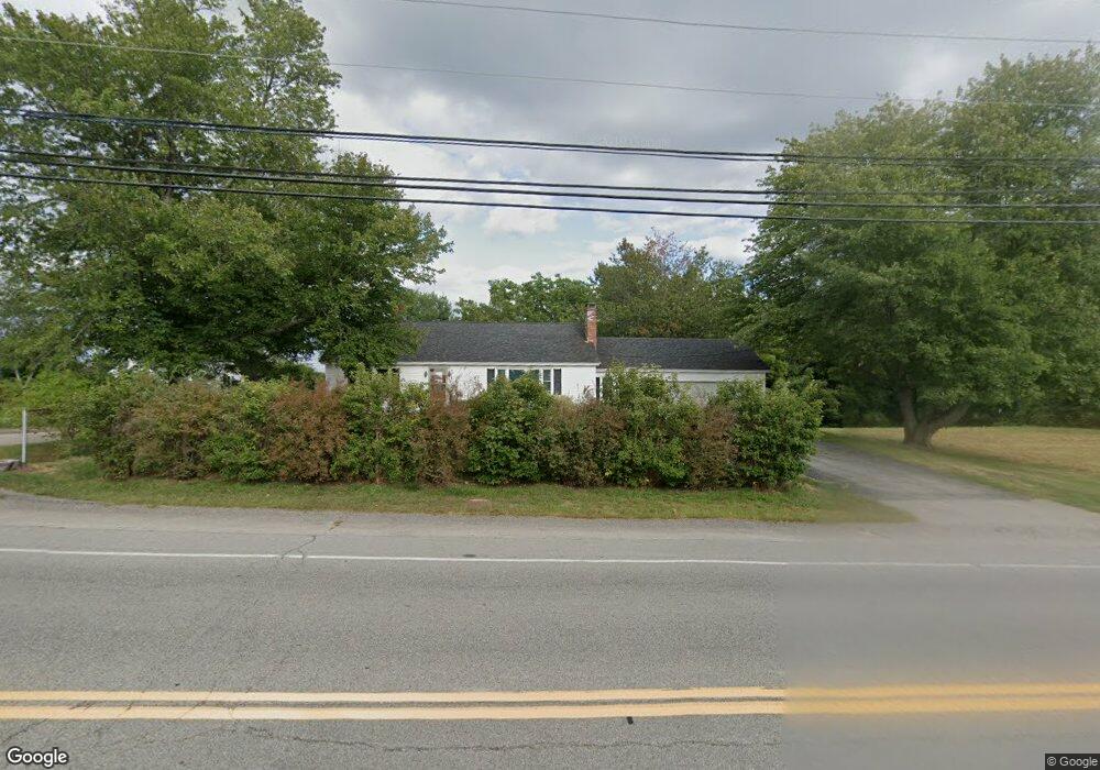
202 Dover Point Rd Dover, NH 03820
Dover Point NeighborhoodEstimated Value: $1,482,000 - $1,622,064
3
Beds
4
Baths
2,961
Sq Ft
$524/Sq Ft
Est. Value
About This Home
This home is located at 202 Dover Point Rd, Dover, NH 03820 and is currently estimated at $1,553,016, approximately $524 per square foot. 202 Dover Point Rd is a home located in Strafford County with nearby schools including Garrison School, Dover Middle School, and Dover Senior High School.
Ownership History
Date
Name
Owned For
Owner Type
Purchase Details
Closed on
Sep 8, 2015
Sold by
Dover Point Props Dev
Bought by
Kelliher Daniel
Current Estimated Value
Purchase Details
Closed on
Jun 4, 2013
Sold by
Dover Point Props
Bought by
Ballantyne Barbara
Create a Home Valuation Report for This Property
The Home Valuation Report is an in-depth analysis detailing your home's value as well as a comparison with similar homes in the area
Home Values in the Area
Average Home Value in this Area
Purchase History
| Date | Buyer | Sale Price | Title Company |
|---|---|---|---|
| Kelliher Daniel | $620,000 | -- | |
| Kelliher Daniel | $620,000 | -- | |
| Ballantyne Barbara | $295,000 | -- | |
| Ballantyne Barbara | $295,000 | -- |
Source: Public Records
Mortgage History
| Date | Status | Borrower | Loan Amount |
|---|---|---|---|
| Previous Owner | Ballantyne Barbara | $81,368 | |
| Closed | Ballantyne Barbara | $0 |
Source: Public Records
Tax History
| Year | Tax Paid | Tax Assessment Tax Assessment Total Assessment is a certain percentage of the fair market value that is determined by local assessors to be the total taxable value of land and additions on the property. | Land | Improvement |
|---|---|---|---|---|
| 2024 | $27,081 | $1,490,400 | $793,400 | $697,000 |
| 2023 | $23,751 | $1,270,100 | $652,400 | $617,700 |
| 2022 | $22,788 | $1,148,600 | $590,600 | $558,000 |
| 2021 | $21,533 | $992,300 | $506,000 | $486,300 |
| 2020 | $20,394 | $820,700 | $420,200 | $400,500 |
| 2019 | $14,446 | $573,500 | $420,900 | $152,600 |
| 2018 | $17,133 | $687,500 | $410,200 | $277,300 |
| 2017 | $16,609 | $642,000 | $372,800 | $269,200 |
| 2016 | $15,790 | $600,600 | $363,100 | $237,500 |
| 2015 | $15,546 | $584,200 | $352,500 | $231,700 |
| 2014 | $15,057 | $578,900 | $347,200 | $231,700 |
| 2011 | $11,909 | $474,100 | $270,000 | $204,100 |
Source: Public Records
Map
Nearby Homes
- 25 Fosters Dr
- 11 Ayers Ln
- 220 Dover Point Rd
- Slip B18 Little Bay
- 65 Polly Ann Trailer Park
- 69 Polly Ann Trailer Park
- 21 Clearwater Dr
- 16 Polly Ann Park
- 6 Isaac Lucas Cir
- 18 Deborah Ln
- 41 Clearwater Dr
- 19 Lenox Dr Unit A
- 6 Revolution Dr
- 14 Independence Dr
- 51 Constitution Way
- 1 Independence Dr
- 0 Cote Dr Unit 55B
- 4 Tanglewood Dr
- 348 Dover Point Rd
- 354 Dover Point Rd
- 200 Dover Point Rd
- 200 Dover Point Rd Unit B
- 200 Dover Point Rd Unit A
- 200 Dover Point Rd Unit A
- 4 Shore Ln
- 6 Shore Ln
- 198A Dover Point Rd
- 198 Dover Point Rd
- 198 Dover Point Rd
- 204 Dover Point Rd
- 196 1/2 Dover Point Rd
- 5 Shore Ln
- 16 Shore Ln
- Lot 7 Shore Ln
- Lot 1 Foster's
- Lot 6 Foster's
- Lot 1 Foster's Unit 1
- 15 Shore Ln
- 2 Shore Ln
- 8 Shore Ln
Your Personal Tour Guide
Ask me questions while you tour the home.