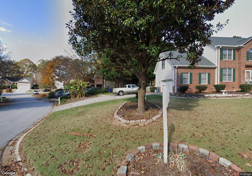
202 Edmondston Ct Mauldin, SC 29662
Estimated Value: $347,000 - $394,299
4
Beds
2
Baths
2,267
Sq Ft
$159/Sq Ft
Est. Value
About This Home
This home is located at 202 Edmondston Ct, Mauldin, SC 29662 and is currently estimated at $360,575, approximately $159 per square foot. 202 Edmondston Ct is a home located in Greenville County with nearby schools including Greenbrier Elementary School, Hillcrest Middle School, and Mauldin High School.
Ownership History
Date
Name
Owned For
Owner Type
Purchase Details
Closed on
Sep 30, 2015
Sold by
King Warrent and King Betty G
Bought by
Tinkham Donna R and Tinkham Kyle W
Current Estimated Value
Home Financials for this Owner
Home Financials are based on the most recent Mortgage that was taken out on this home.
Original Mortgage
$135,920
Outstanding Balance
$107,266
Interest Rate
3.97%
Mortgage Type
New Conventional
Estimated Equity
$253,309
Create a Home Valuation Report for This Property
The Home Valuation Report is an in-depth analysis detailing your home's value as well as a comparison with similar homes in the area
Home Values in the Area
Average Home Value in this Area
Purchase History
| Date | Buyer | Sale Price | Title Company |
|---|---|---|---|
| Tinkham Donna R | $169,900 | -- |
Source: Public Records
Mortgage History
| Date | Status | Borrower | Loan Amount |
|---|---|---|---|
| Open | Tinkham Donna R | $135,920 |
Source: Public Records
Tax History Compared to Growth
Tax History
| Year | Tax Paid | Tax Assessment Tax Assessment Total Assessment is a certain percentage of the fair market value that is determined by local assessors to be the total taxable value of land and additions on the property. | Land | Improvement |
|---|---|---|---|---|
| 2024 | $1,417 | $7,770 | $1,240 | $6,530 |
| 2023 | $1,417 | $7,770 | $1,240 | $6,530 |
| 2022 | $1,335 | $7,770 | $1,240 | $6,530 |
| 2021 | $1,336 | $7,770 | $1,240 | $6,530 |
| 2020 | $1,231 | $6,760 | $1,080 | $5,680 |
| 2019 | $1,232 | $6,760 | $1,080 | $5,680 |
| 2018 | $1,229 | $6,760 | $1,080 | $5,680 |
| 2017 | $1,229 | $6,760 | $1,080 | $5,680 |
| 2016 | $1,183 | $169,050 | $27,000 | $142,050 |
| 2015 | $841 | $169,050 | $27,000 | $142,050 |
| 2014 | $970 | $188,780 | $30,000 | $158,780 |
Source: Public Records
Map
Nearby Homes
- 310 Ashmore Bridge Rd
- 4 Natchez Dr
- 220 Horse Tack Trail
- 111 Golden Crest Ct
- 24 Poplar Springs Dr
- 309 Garrett St
- 315 Rosewood Cir
- 712 Brooks Rd
- 511 Fagin Cir
- 306 Thelma Dr
- 66 Sikes Cir
- 302 Rosewood Cir
- 26 Sikes Cir
- Skandia II Plan at Riley Trace
- Portland II Plan at Riley Trace
- Aurora Plan at Riley Trace
- Craftsman II Plan at Riley Trace
- Skandia Plan at Riley Trace
- Baltic Plan at Riley Trace
- Arctic Plan at Riley Trace
- 200 Edmondston Ct
- 204 Edmondston Ct
- 3 Nucrop Ct
- 206 Edmondston Ct
- 201 Edmondston Ct
- 203 Edmondston Ct
- 109 Edmondston Ct
- 2 Nucrop Ct
- 208 Edmondston Ct
- 5 Nucrop Ct
- 6 Nucrop Ct
- 205 Edmondston Ct
- 207 Edmondston Ct
- 105 Edmondston Ct
- 4 Nucrop Ct
- 106 Edmondston Ct
- 5 Natchez Dr
- 3 Natchez Dr
- 104 Edmondston Ct
- 9 Natchez Dr