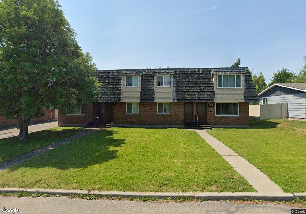
202 Garland St Unit 1 Kalispell, MT 59901
Estimated Value: $299,266 - $418,000
2
Beds
1
Bath
1,156
Sq Ft
$314/Sq Ft
Est. Value
About This Home
This home is located at 202 Garland St Unit 1, Kalispell, MT 59901 and is currently estimated at $362,817, approximately $313 per square foot. 202 Garland St Unit 1 is a home located in Flathead County with nearby schools including Edgerton School, Kalispell Middle School, and Glacier High School.
Ownership History
Date
Name
Owned For
Owner Type
Purchase Details
Closed on
Oct 3, 2024
Sold by
Ramey Kelson and Ramey Katie
Bought by
Blaine Venture Properties Llc
Current Estimated Value
Purchase Details
Closed on
Aug 31, 2018
Sold by
Ramey Kelson D and Ramey Katie M
Bought by
Blaine Venturee Properties Llc
Purchase Details
Closed on
Jun 27, 2018
Sold by
Kates Sue A
Bought by
Ramey Kelson D and Ramey Katie M
Home Financials for this Owner
Home Financials are based on the most recent Mortgage that was taken out on this home.
Original Mortgage
$122,500
Interest Rate
4.35%
Mortgage Type
Adjustable Rate Mortgage/ARM
Purchase Details
Closed on
Jul 17, 2017
Sold by
Westcraft Homes Inc
Bought by
Kates Sue A
Home Financials for this Owner
Home Financials are based on the most recent Mortgage that was taken out on this home.
Original Mortgage
$103,200
Interest Rate
3.9%
Mortgage Type
New Conventional
Create a Home Valuation Report for This Property
The Home Valuation Report is an in-depth analysis detailing your home's value as well as a comparison with similar homes in the area
Purchase History
| Date | Buyer | Sale Price | Title Company |
|---|---|---|---|
| Blaine Venture Properties Llc | -- | None Listed On Document | |
| Blaine Venturee Properties Llc | -- | None Available | |
| Ramey Kelson D | -- | None Available | |
| Kates Sue A | -- | First American Title Company |
Source: Public Records
Mortgage History
| Date | Status | Borrower | Loan Amount |
|---|---|---|---|
| Previous Owner | Ramey Kelson D | $122,500 | |
| Previous Owner | Kates Sue A | $103,200 |
Source: Public Records
Tax History
| Year | Tax Paid | Tax Assessment Tax Assessment Total Assessment is a certain percentage of the fair market value that is determined by local assessors to be the total taxable value of land and additions on the property. | Land | Improvement |
|---|---|---|---|---|
| 2025 | $1,173 | $244,000 | $0 | $0 |
| 2024 | $1,637 | $210,100 | $0 | $0 |
| 2023 | $1,968 | $210,100 | $0 | $0 |
| 2022 | $2,142 | $175,900 | $0 | $0 |
| 2021 | $1,893 | $175,900 | $0 | $0 |
| 2020 | $1,919 | $147,300 | $0 | $0 |
| 2019 | $1,922 | $147,300 | $0 | $0 |
| 2018 | $1,519 | $105,500 | $0 | $0 |
| 2017 | $1,106 | $105,500 | $0 | $0 |
| 2016 | $1,260 | $91,700 | $0 | $0 |
| 2015 | $1,259 | $91,700 | $0 | $0 |
| 2014 | $1,365 | $61,109 | $0 | $0 |
Source: Public Records
Map
Nearby Homes
- 120 Garland St
- 188 N Riding Rd
- 106 Northern Lights Blvd
- 145 Northridge Dr
- 28 Vista Loop
- 249 Three Mile Dr
- 405 Summit Ridge Dr
- 2 & 4 Parkway Dr
- 111 Westview Park Place
- 221 Hawthorn Ave
- 108 Hearst Dr
- 140 Barron Way
- 119 Barron Way
- 223 Northland Dr
- 63 Empire Loop
- 90 Empire Loop
- 507 Northridge Dr
- 17 Empire Loop
- 38 Vanderbilt Dr
- 129 Meadow Vista Loop Unit B
- 202 Garland St
- 202 Garland St
- 202 Garland St
- 202 Garland St Unit 2
- 204 Garland St
- 200 Garland St
- 200 Garland St
- 200 Garland St Unit 3
- 200 Garland St Unit 1
- 203 Kirsten Dr
- 205 Kirsten Dr
- 201 Kirsten Dr
- 203 Garland St
- 203 Garland St
- 206 Garland St
- 205 Garland St
- 201 Garland St
- 207 Kirsten Dr
- 126 Garland St
- 207 Garland St
Your Personal Tour Guide
Ask me questions while you tour the home.