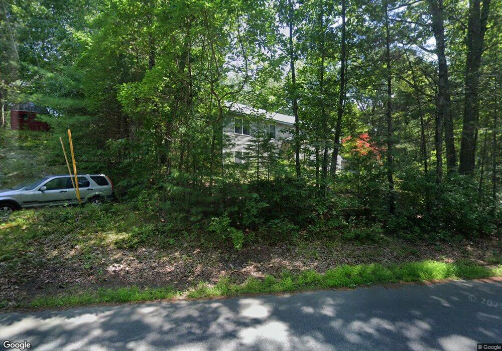
202 King St Groveland, MA 01834
Estimated Value: $887,131 - $1,055,000
5
Beds
3
Baths
3,744
Sq Ft
$261/Sq Ft
Est. Value
About This Home
This home is located at 202 King St, Groveland, MA 01834 and is currently estimated at $978,283, approximately $261 per square foot. 202 King St is a home located in Essex County with nearby schools including Pentucket Regional High School.
Ownership History
Date
Name
Owned For
Owner Type
Purchase Details
Closed on
Aug 26, 2008
Sold by
Vigliotta Jerry E and Vigliotta Mary Jaine
Bought by
Vigliotta Frank A
Current Estimated Value
Purchase Details
Closed on
Mar 25, 2003
Sold by
Vigliotta Frank A and Vigliotta Jerry E
Bought by
Vigliotta Jerry E
Home Financials for this Owner
Home Financials are based on the most recent Mortgage that was taken out on this home.
Original Mortgage
$137,200
Interest Rate
5.82%
Create a Home Valuation Report for This Property
The Home Valuation Report is an in-depth analysis detailing your home's value as well as a comparison with similar homes in the area
Home Values in the Area
Average Home Value in this Area
Purchase History
| Date | Buyer | Sale Price | Title Company |
|---|---|---|---|
| Vigliotta Frank A | -- | -- | |
| Vigliotta Jerry E | -- | -- |
Source: Public Records
Mortgage History
| Date | Status | Borrower | Loan Amount |
|---|---|---|---|
| Previous Owner | Vigliotta Jerry E | $137,200 | |
| Previous Owner | Vigliotta Jerry E | $152,000 |
Source: Public Records
Tax History Compared to Growth
Tax History
| Year | Tax Paid | Tax Assessment Tax Assessment Total Assessment is a certain percentage of the fair market value that is determined by local assessors to be the total taxable value of land and additions on the property. | Land | Improvement |
|---|---|---|---|---|
| 2025 | $10,243 | $807,200 | $253,000 | $554,200 |
| 2024 | $10,495 | $775,100 | $239,900 | $535,200 |
| 2023 | $9,543 | $726,800 | $218,100 | $508,700 |
| 2022 | $9,320 | $644,100 | $192,000 | $452,100 |
| 2021 | $8,511 | $578,200 | $174,500 | $403,700 |
| 2020 | $7,926 | $564,100 | $161,400 | $402,700 |
| 2019 | $7,003 | $488,000 | $161,400 | $326,600 |
| 2018 | $6,847 | $466,100 | $152,700 | $313,400 |
| 2017 | $6,616 | $450,700 | $152,700 | $298,000 |
| 2016 | $6,357 | $421,300 | $143,900 | $277,400 |
| 2015 | $6,024 | $412,300 | $135,200 | $277,100 |
| 2014 | $5,666 | $376,200 | $135,200 | $241,000 |
Source: Public Records
Map
Nearby Homes
- 231 W Main St
- 206 W Main St Unit 3
- 206 W Main St Unit 5
- 206 W Main St Unit 6
- 206 W Main St Unit 4
- 7 Yale St
- 603 Alyssa Dr Unit 603
- Lot 9 Katie Ln
- Lot 8 Katie Ln
- 123 Pond St
- Lot 11A King St
- 1 Atwood Ln
- 89 King St
- 98 King St
- 51 W Main St Unit 6
- 79 Andover St
- 11 Canterbury Dr
- 34 E Main St Unit 2
- 52 E Main St
- 6 Winter St