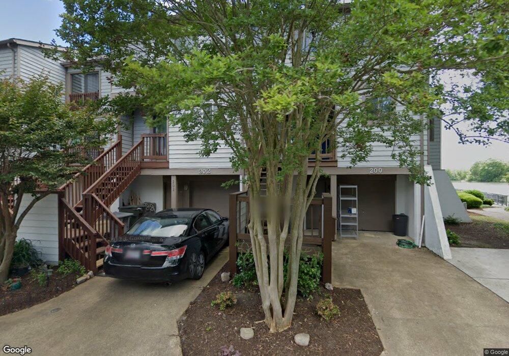
202 Mill Point Dr Hampton, VA 23669
Downtown Hampton NeighborhoodEstimated Value: $304,580 - $320,000
2
Beds
3
Baths
1,192
Sq Ft
$261/Sq Ft
Est. Value
About This Home
This home is located at 202 Mill Point Dr, Hampton, VA 23669 and is currently estimated at $310,645, approximately $260 per square foot. 202 Mill Point Dr is a home located in Hampton City with nearby schools including Capt. John Smith Elementary School, C. Alton Lindsay Middle School, and Phoebus High School.
Ownership History
Date
Name
Owned For
Owner Type
Purchase Details
Closed on
Aug 11, 2020
Sold by
Wolf Eric O
Bought by
Staton Donna Robinson and Staton Forrest Russell
Current Estimated Value
Home Financials for this Owner
Home Financials are based on the most recent Mortgage that was taken out on this home.
Original Mortgage
$213,750
Outstanding Balance
$189,611
Interest Rate
3%
Mortgage Type
New Conventional
Estimated Equity
$121,034
Purchase Details
Closed on
Aug 22, 2011
Sold by
Pilgrim Perry T
Bought by
Wolf Eric O
Home Financials for this Owner
Home Financials are based on the most recent Mortgage that was taken out on this home.
Original Mortgage
$243,662
Interest Rate
4.75%
Mortgage Type
FHA
Create a Home Valuation Report for This Property
The Home Valuation Report is an in-depth analysis detailing your home's value as well as a comparison with similar homes in the area
Home Values in the Area
Average Home Value in this Area
Purchase History
| Date | Buyer | Sale Price | Title Company |
|---|---|---|---|
| Staton Donna Robinson | $225,000 | Bay Title Llc | |
| Wolf Eric O | $250,000 | -- |
Source: Public Records
Mortgage History
| Date | Status | Borrower | Loan Amount |
|---|---|---|---|
| Open | Staton Donna Robinson | $213,750 | |
| Previous Owner | Wolf Eric O | $243,662 |
Source: Public Records
Tax History
| Year | Tax Paid | Tax Assessment Tax Assessment Total Assessment is a certain percentage of the fair market value that is determined by local assessors to be the total taxable value of land and additions on the property. | Land | Improvement |
|---|---|---|---|---|
| 2025 | $3,375 | $294,500 | $103,400 | $191,100 |
| 2024 | $3,097 | $269,300 | $87,500 | $181,800 |
| 2023 | $2,978 | $256,700 | $87,500 | $169,200 |
| 2022 | $2,811 | $238,200 | $87,500 | $150,700 |
| 2021 | $2,843 | $218,800 | $87,500 | $131,300 |
| 2020 | $2,497 | $201,400 | $87,500 | $113,900 |
| 2019 | $2,580 | $208,100 | $87,500 | $120,600 |
| 2018 | $2,681 | $208,600 | $87,500 | $121,100 |
| 2017 | $2,681 | $0 | $0 | $0 |
| 2016 | $2,681 | $208,600 | $0 | $0 |
| 2015 | $2,681 | $0 | $0 | $0 |
| 2014 | $2,671 | $208,600 | $87,500 | $121,100 |
Source: Public Records
Map
Nearby Homes
- 233 Mill Point Dr
- 301 Washington St
- 329 Center St
- 115 E Pembroke Ave
- 329 Elm Ave
- 418 Wine St
- 603 Washington St
- 606 Washington St
- 542 River St
- 314 Cooper St
- 311 Cooper St
- 720 River St
- 433 Cooper St
- 439 Cooper St
- 144 Meredith St
- 16 S Cypress St
- 116 Linden Ave
- 221 Island Cove Ct Unit C
- 27 Bacon St
- 226 Island Cove Ct Unit C
- 204 Mill Point Dr
- 200 Mill Point Dr
- 206 Mill Point Dr
- 208 Mill Point Dr
- 170 Mill Point Dr
- 210 Mill Point Dr
- 212 Mill Point Dr
- 164 Mill Point Dr
- 201 Mill Point Dr
- 214 Mill Point Dr
- 203 Mill Point Dr
- 162 Mill Point Dr
- 205 Mill Point Dr
- 207 Mill Point Dr
- 165 Mill Point Dr
- 160 Mill Point Dr
- 209 Mill Point Dr
- 218 Mill Point Dr
- 163 Mill Point Dr
- 211 Mill Point Dr
Your Personal Tour Guide
Ask me questions while you tour the home.