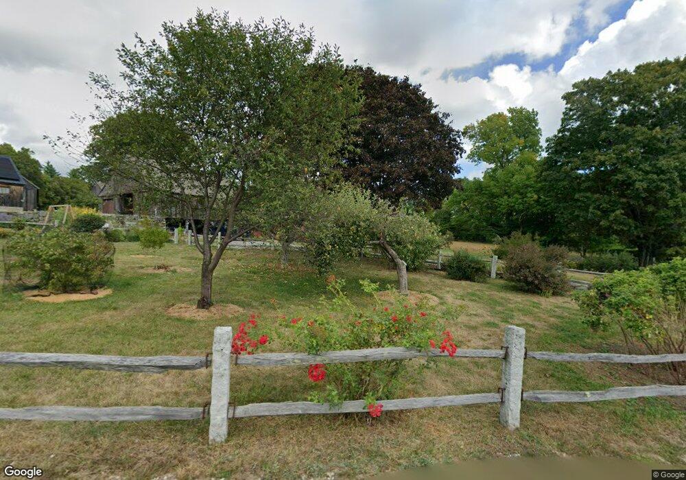
202 Pettingill Hill Rd Lyndeborough, NH 03082
Estimated Value: $893,000 - $1,036,654
4
Beds
4
Baths
4,157
Sq Ft
$232/Sq Ft
Est. Value
About This Home
This home is located at 202 Pettingill Hill Rd, Lyndeborough, NH 03082 and is currently estimated at $962,551, approximately $231 per square foot. 202 Pettingill Hill Rd is a home located in Hillsborough County with nearby schools including Lyndeborough Central School, Wilton-Lyndeborough Cooperative Middle School, and Wilton-Lyndeborough Cooperative High School.
Ownership History
Date
Name
Owned For
Owner Type
Purchase Details
Closed on
Sep 28, 2001
Sold by
Ravenscroft Sandra L
Bought by
Brooks S Philip and Brooks Virginia M
Current Estimated Value
Create a Home Valuation Report for This Property
The Home Valuation Report is an in-depth analysis detailing your home's value as well as a comparison with similar homes in the area
Home Values in the Area
Average Home Value in this Area
Purchase History
| Date | Buyer | Sale Price | Title Company |
|---|---|---|---|
| Brooks S Philip | $150,000 | -- |
Source: Public Records
Mortgage History
| Date | Status | Borrower | Loan Amount |
|---|---|---|---|
| Open | Brooks S Philip | $490,000 | |
| Closed | Brooks S Philip | $280,000 |
Source: Public Records
Tax History Compared to Growth
Tax History
| Year | Tax Paid | Tax Assessment Tax Assessment Total Assessment is a certain percentage of the fair market value that is determined by local assessors to be the total taxable value of land and additions on the property. | Land | Improvement |
|---|---|---|---|---|
| 2024 | $17,577 | $679,695 | $108,995 | $570,700 |
| 2023 | $16,158 | $679,767 | $109,067 | $570,700 |
| 2022 | $15,025 | $679,850 | $109,150 | $570,700 |
| 2021 | $15,030 | $680,112 | $109,412 | $570,700 |
| 2020 | $13,980 | $655,112 | $109,412 | $545,700 |
| 2019 | $15,914 | $546,120 | $115,720 | $430,400 |
| 2018 | $16,063 | $569,420 | $139,220 | $430,200 |
| 2017 | $19,657 | $708,600 | $156,900 | $551,700 |
| 2016 | $19,657 | $708,600 | $156,900 | $551,700 |
| 2015 | $17,920 | $708,600 | $156,900 | $551,700 |
| 2013 | $16,534 | $688,900 | $159,900 | $529,000 |
Source: Public Records
Map
Nearby Homes
- 222 Forest Rd
- 24 Glass Factory Rd
- A 66 Burton Hwy
- 11 Pony Farm Ln
- 372 Webster Hwy
- 19 Putnam Rd
- 757 Forest Rd
- 65 Webster Hwy
- 0 Marden Rd
- 16 Cameron's Way
- 59 Goldsmith Rd
- 94 Summit Dr
- 60 Goldsmith Rd
- 57 Richardson Rd
- 75 New Boston Rd
- Lots 4 & 7 Gibbons & Robbins Rd
- F/88-5 McGettigan Rd
- F/88-4 McGettigan Rd
- 85 Old Revolutionary Rd
- 27 Island St
- 202 Pettingill Hill Rd
- 202 Pettingill Hill Rd
- 202 Pettingill Hill Rd
- 202 Pettingill Hill Rd
- 208 Pettingill Hill Rd
- 170 Pettingill Hill Rd
- 157 Pettingill Hill Rd
- 110 Pettingill Hill Rd
- 41 Howe Dr
- 294 Pettingill Hill Rd
- 13 Howe Dr
- 61 Brandy Brook Rd
- 36 Howe Dr
- 76 Pettingill Hill Rd
- 83 Pettingill Hill Rd
- 66 Pettingill Hill Rd
- 321 Forest Rd
- 35 Brandy Brook Rd
- 291 Forest Rd
- 277 Forest Rd