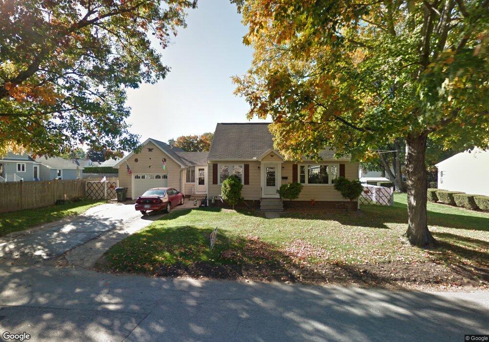
202 Porter St Manchester, NH 03103
Somerville NeighborhoodEstimated Value: $421,000 - $479,000
3
Beds
2
Baths
1,326
Sq Ft
$338/Sq Ft
Est. Value
About This Home
This home is located at 202 Porter St, Manchester, NH 03103 and is currently estimated at $447,958, approximately $337 per square foot. 202 Porter St is a home located in Hillsborough County with nearby schools including Jewett Street Elementary School, Southside Middle School, and Manchester Memorial High School.
Ownership History
Date
Name
Owned For
Owner Type
Purchase Details
Closed on
Sep 16, 1998
Sold by
Sroka Bernard M
Bought by
Kenney Gary James and Kenney Lillian P
Current Estimated Value
Home Financials for this Owner
Home Financials are based on the most recent Mortgage that was taken out on this home.
Original Mortgage
$97,500
Outstanding Balance
$20,827
Interest Rate
6.9%
Mortgage Type
VA
Estimated Equity
$427,131
Create a Home Valuation Report for This Property
The Home Valuation Report is an in-depth analysis detailing your home's value as well as a comparison with similar homes in the area
Home Values in the Area
Average Home Value in this Area
Purchase History
| Date | Buyer | Sale Price | Title Company |
|---|---|---|---|
| Kenney Gary James | $97,500 | -- |
Source: Public Records
Mortgage History
| Date | Status | Borrower | Loan Amount |
|---|---|---|---|
| Open | Kenney Gary James | $97,500 |
Source: Public Records
Tax History Compared to Growth
Tax History
| Year | Tax Paid | Tax Assessment Tax Assessment Total Assessment is a certain percentage of the fair market value that is determined by local assessors to be the total taxable value of land and additions on the property. | Land | Improvement |
|---|---|---|---|---|
| 2024 | $5,608 | $286,400 | $92,800 | $193,600 |
| 2023 | $5,402 | $286,400 | $92,800 | $193,600 |
| 2022 | $5,224 | $286,400 | $92,800 | $193,600 |
| 2021 | $5,064 | $286,400 | $92,800 | $193,600 |
| 2020 | $4,811 | $195,100 | $64,000 | $131,100 |
| 2019 | $4,745 | $195,100 | $64,000 | $131,100 |
| 2018 | $4,620 | $195,100 | $64,000 | $131,100 |
| 2017 | $4,550 | $195,100 | $64,000 | $131,100 |
| 2016 | $4,515 | $195,100 | $64,000 | $131,100 |
| 2015 | $4,482 | $191,200 | $64,000 | $127,200 |
| 2014 | $4,493 | $191,200 | $64,000 | $127,200 |
| 2013 | $4,335 | $191,200 | $64,000 | $127,200 |
Source: Public Records
Map
Nearby Homes
- 75 Fremont St
- 167 Mammoth Rd
- 201 Jewett St
- 80 Jewett St
- 53 Jewett St
- 52 Mammoth Rd
- 63 Maynard Ave
- 335 Cypress St Unit 4A
- 335 Cypress St Unit 2P
- 335 Cypress St Unit 3B
- 82 S Jewett St
- 165 Taylor St
- 95 Medford St
- 146 Woodbine Ave
- 39 Richard St
- 22 Crawford St
- 43 Carver St
- 600 Spruce St
- 594 Dix St Unit 2
- 631 Lake Ave
- 216 Porter St
- 1160 Somerville St
- 215 Gray St
- 225 Gray St
- 191 Porter St
- 209 Porter St
- 1176 Somerville St
- 230 Porter St
- 223 Porter St
- 245 Gray St
- 1159 Somerville St
- 241 Porter St
- 210 Gray St
- 214 Knowlton St
- 210 Knowlton St
- 244 Porter St Unit 1
- 244A Porter St
- 244 Porter St Unit A
- 244 Porter St
- 1137 Somerville St