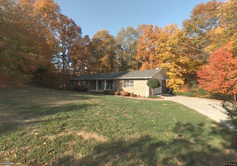
202 Redwood Rd Dalton, GA 30721
Estimated Value: $243,000 - $289,000
--
Bed
2
Baths
1,413
Sq Ft
$192/Sq Ft
Est. Value
About This Home
This home is located at 202 Redwood Rd, Dalton, GA 30721 and is currently estimated at $271,925, approximately $192 per square foot. 202 Redwood Rd is a home located in Whitfield County with nearby schools including Pleasant Grove Elementary School, New Hope Middle School, and Northwest Whitfield County High School.
Ownership History
Date
Name
Owned For
Owner Type
Purchase Details
Closed on
May 20, 2016
Sold by
Ballew Willard Lee
Bought by
Graeff Randall T and Graeff Cassie Elizabeth
Current Estimated Value
Home Financials for this Owner
Home Financials are based on the most recent Mortgage that was taken out on this home.
Original Mortgage
$114,250
Outstanding Balance
$90,743
Interest Rate
3.59%
Mortgage Type
New Conventional
Estimated Equity
$181,182
Purchase Details
Closed on
Jul 1, 1997
Bought by
Ballew Willard Lee
Create a Home Valuation Report for This Property
The Home Valuation Report is an in-depth analysis detailing your home's value as well as a comparison with similar homes in the area
Home Values in the Area
Average Home Value in this Area
Purchase History
| Date | Buyer | Sale Price | Title Company |
|---|---|---|---|
| Graeff Randall T | $135,000 | -- | |
| Ballew Willard Lee | $112,900 | -- |
Source: Public Records
Mortgage History
| Date | Status | Borrower | Loan Amount |
|---|---|---|---|
| Open | Graeff Randall T | $114,250 |
Source: Public Records
Tax History Compared to Growth
Tax History
| Year | Tax Paid | Tax Assessment Tax Assessment Total Assessment is a certain percentage of the fair market value that is determined by local assessors to be the total taxable value of land and additions on the property. | Land | Improvement |
|---|---|---|---|---|
| 2024 | $2,276 | $106,692 | $15,600 | $91,092 |
| 2023 | $2,276 | $75,693 | $10,600 | $65,093 |
| 2022 | $1,752 | $59,386 | $10,600 | $48,786 |
| 2021 | $1,752 | $59,386 | $10,600 | $48,786 |
| 2020 | $1,812 | $59,386 | $10,600 | $48,786 |
| 2019 | $1,841 | $59,386 | $10,600 | $48,786 |
| 2018 | $1,725 | $54,740 | $10,600 | $44,140 |
| 2017 | $1,702 | $54,740 | $10,600 | $44,140 |
| 2016 | $1,216 | $48,966 | $8,820 | $40,146 |
| 2014 | $1,119 | $48,966 | $8,820 | $40,146 |
| 2013 | -- | $48,965 | $8,820 | $40,145 |
Source: Public Records
Map
Nearby Homes
- 522 Westbrook Rd
- 486 Haig Mill Rd
- 110 Pinewood Way
- 213 Grassdale Rd
- 192 Carly Dr
- 439 Westbrook Rd
- 117 Pleasant Hill Dr
- 503 Moore Dr
- 2502 E Hillview Dr
- 407 Quillian Rd
- 0 TRACT 5 2nd St
- 112 Albertson Dr
- 2615 Cleveland Hwy
- 1903 Middle Summit Dr
- 1903 Summit View Dr
- The Braselton II Plan at The Andros
- The Manchester II Plan at The Andros
- The Buford II Plan at The Andros
- The Ellison II Plan at The Andros
- The Norwood II Plan at The Andros
- 200 Redwood Rd
- 301 Royal Oak Dr
- 303 Royal Oak Dr
- 207 Redwood Rd
- 207 Red Wood Rd
- 203 Redwood Rd
- 106 Redwood Rd
- 201 Redwood Rd
- 401 Royal Oak Dr
- 207 Royal Oak Dr
- 104 Redwood Rd
- 300 Royal Oak Dr
- 405 Royal Oak Dr
- 103 Redwood Rd
- 304 Royal Oak Dr
- 109 Driftwood Ln
- 104 Green Leaf Cir
- 102 Redwood Rd
- 203 Royal Oak Dr
- 107 Azalea Cir