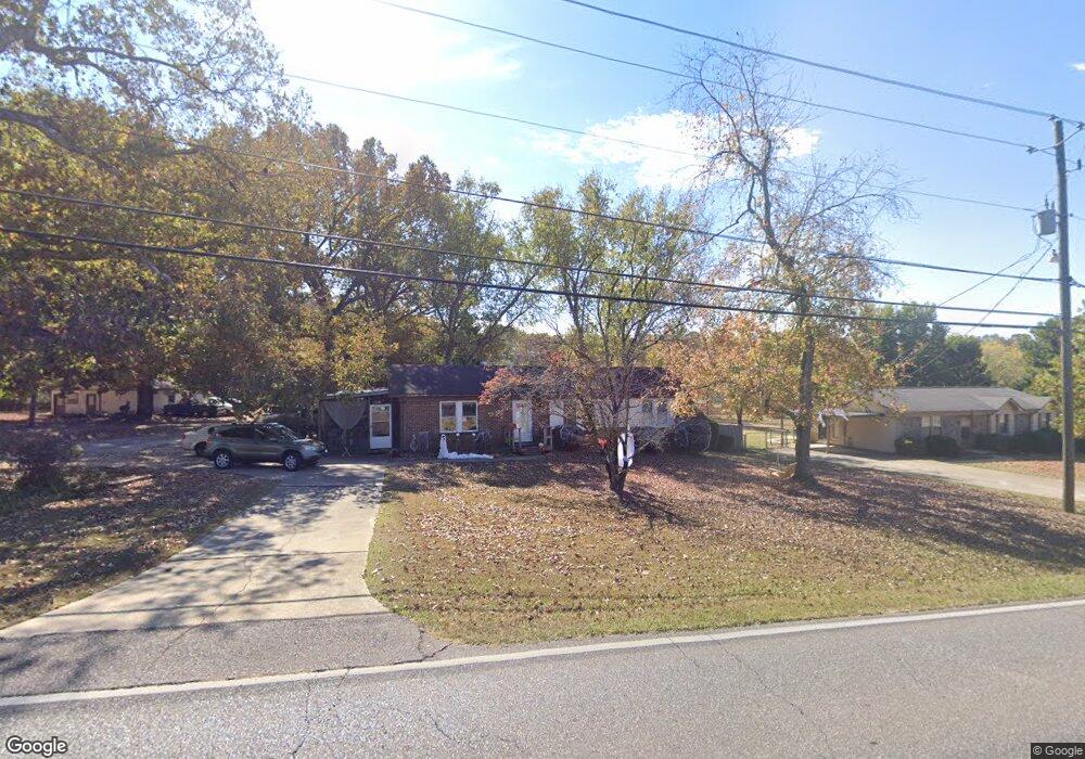
2020 1st Ave W Maylene, AL 35114
Estimated Value: $210,000 - $321,000
4
Beds
2
Baths
1,250
Sq Ft
$193/Sq Ft
Est. Value
About This Home
This home is located at 2020 1st Ave W, Maylene, AL 35114 and is currently estimated at $241,355, approximately $193 per square foot. 2020 1st Ave W is a home located in Shelby County with nearby schools including Thompson Intermediate School, Thompson Middle School, and Thompson High School.
Ownership History
Date
Name
Owned For
Owner Type
Purchase Details
Closed on
May 13, 2011
Sold by
Arnwine John and Arnwine Dorothy
Bought by
Swimelar Kevin
Current Estimated Value
Home Financials for this Owner
Home Financials are based on the most recent Mortgage that was taken out on this home.
Original Mortgage
$85,769
Outstanding Balance
$59,468
Interest Rate
4.83%
Mortgage Type
FHA
Estimated Equity
$181,887
Purchase Details
Closed on
May 29, 1998
Sold by
Sartain Timothy S and Sartain Linda P
Bought by
Arnwine John and Arnwine Dorothy
Home Financials for this Owner
Home Financials are based on the most recent Mortgage that was taken out on this home.
Original Mortgage
$72,239
Interest Rate
7.15%
Mortgage Type
FHA
Create a Home Valuation Report for This Property
The Home Valuation Report is an in-depth analysis detailing your home's value as well as a comparison with similar homes in the area
Home Values in the Area
Average Home Value in this Area
Purchase History
| Date | Buyer | Sale Price | Title Company |
|---|---|---|---|
| Swimelar Kevin | $88,000 | None Available | |
| Arnwine John | $72,000 | Magic City Title Company Inc |
Source: Public Records
Mortgage History
| Date | Status | Borrower | Loan Amount |
|---|---|---|---|
| Open | Swimelar Kevin | $85,769 | |
| Previous Owner | Arnwine John | $72,239 |
Source: Public Records
Tax History Compared to Growth
Tax History
| Year | Tax Paid | Tax Assessment Tax Assessment Total Assessment is a certain percentage of the fair market value that is determined by local assessors to be the total taxable value of land and additions on the property. | Land | Improvement |
|---|---|---|---|---|
| 2024 | $850 | $15,740 | $0 | $0 |
| 2023 | $800 | $14,820 | $0 | $0 |
| 2022 | $753 | $13,940 | $0 | $0 |
| 2021 | $625 | $12,340 | $0 | $0 |
| 2020 | $527 | $10,520 | $0 | $0 |
| 2019 | $511 | $10,220 | $0 | $0 |
| 2017 | $448 | $9,060 | $0 | $0 |
| 2015 | $415 | $8,440 | $0 | $0 |
| 2014 | $405 | $8,260 | $0 | $0 |
Source: Public Records
Map
Nearby Homes
- 2014 1st Ave W
- 1805 Mohawk Dr
- 1807 Apache Way
- 109 Kingsley Cir
- 217 Mayfair Park
- 306 Mayfair Cir
- 208 Queens Gate
- 233 Queens Gate
- 501 Ramsgate Dr
- 236 Queens Gate
- 537 Ramsgate Dr
- 513 Bennett Dr
- 309 Cedar Grove Ct
- 1349 Old Boston Rd
- 545 Ramsgate Dr
- 549 Ramsgate Dr
- 280 Cedar Grove Pkwy
- 1307 3rd Ave SW
- 1216 1st Ave W
- 1317 W Navajo Dr
- 2022 1st Ave W
- 2018 1st Ave W
- 2024 1st Ave W
- 243 Cedar Meadow
- 245 Cedar Meadow
- 217 Stoney Trail
- 221 Stoney Trail Unit 9
- 221 Stoney Trail
- 241 Cedar Meadow
- 225 Stoney Trail Unit 8
- 225 Stoney Trail
- 247 Cedar Meadow
- 2016 1st Ave W
- 209 Stoney Trail
- 2026 1st Ave W
- 229 Stoney Trail
- 205 Stoney Trail Unit 13
- 205 Stoney Trail
- 239 Cedar Meadow
- 233 Stoney Trail Unit 6