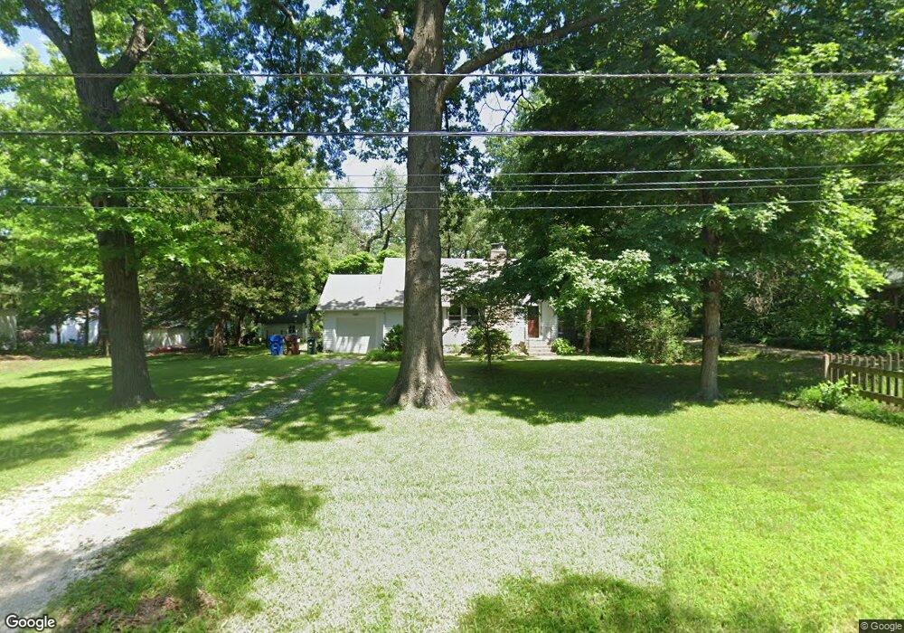
2020 Learnard Ave Lawrence, KS 66046
Barker NeighborhoodEstimated Value: $256,000 - $294,000
3
Beds
2
Baths
1,183
Sq Ft
$230/Sq Ft
Est. Value
About This Home
This home is located at 2020 Learnard Ave, Lawrence, KS 66046 and is currently estimated at $271,923, approximately $229 per square foot. 2020 Learnard Ave is a home located in Douglas County with nearby schools including Kennedy Elementary School, Liberty Memorial Central Middle School, and Lawrence High School.
Ownership History
Date
Name
Owned For
Owner Type
Purchase Details
Closed on
Nov 21, 2001
Sold by
Dye Shane B and Dye Jadene R
Bought by
Neill Anna L J
Current Estimated Value
Home Financials for this Owner
Home Financials are based on the most recent Mortgage that was taken out on this home.
Original Mortgage
$101,850
Outstanding Balance
$39,368
Interest Rate
6.57%
Estimated Equity
$232,555
Create a Home Valuation Report for This Property
The Home Valuation Report is an in-depth analysis detailing your home's value as well as a comparison with similar homes in the area
Home Values in the Area
Average Home Value in this Area
Purchase History
| Date | Buyer | Sale Price | Title Company |
|---|---|---|---|
| Neill Anna L J | -- | Douglas County Title Co |
Source: Public Records
Mortgage History
| Date | Status | Borrower | Loan Amount |
|---|---|---|---|
| Open | Neill Anna L J | $101,850 |
Source: Public Records
Tax History
| Year | Tax Paid | Tax Assessment Tax Assessment Total Assessment is a certain percentage of the fair market value that is determined by local assessors to be the total taxable value of land and additions on the property. | Land | Improvement |
|---|---|---|---|---|
| 2025 | $3,902 | $31,775 | $9,200 | $22,575 |
| 2024 | $3,620 | $29,555 | $8,625 | $20,930 |
| 2023 | $3,369 | $26,427 | $6,900 | $19,527 |
| 2022 | $3,339 | $25,990 | $6,325 | $19,665 |
| 2021 | $2,852 | $21,459 | $5,175 | $16,284 |
| 2020 | $2,722 | $20,597 | $5,175 | $15,422 |
| 2019 | $2,608 | $19,768 | $4,947 | $14,821 |
| 2018 | $2,472 | $18,619 | $4,720 | $13,899 |
| 2017 | $2,278 | $16,997 | $4,720 | $12,277 |
| 2016 | $2,084 | $16,261 | $4,884 | $11,377 |
| 2015 | $1,118 | $17,422 | $6,104 | $11,318 |
| 2014 | $2,214 | $17,422 | $6,104 | $11,318 |
Source: Public Records
Map
Nearby Homes
- 1950 Barker Ave
- 2146 Rhode Island St
- 5701 Johnson Ave
- 5804 Johnson Ave
- 2115 Massachusetts St
- 2208 Massachusetts St
- 1630 Barker Ave
- 2210 Louisiana St
- 2014 Maple Ln
- 1605 E 21st Place
- 314 Oklahoma St
- 2409 Ohio St
- 1616 Louisiana St
- 1341 Rhode Island St
- 1708 E 21st Terrace
- 1327 New Jersey St
- 1831 Illinois St
- 1300 New York St Unit A & B
- 1300 New York St
- 529 Kansas St
- 2016 Learnard Ave
- 2024 Learnard Ave
- 501 Liberty St
- 2048 Learnard Ave
- 2110 Learnard Ave
- 2045 Learnard Ave
- 2010 Learnard Ave
- 502 Liberty St
- 2029 Learnard Ave
- 2049 Learnard Ave
- 2124 Learnard Ave
- 2101 Learnard Ave
- 2013 Learnard Ave
- 2006 Learnard Ave
- 2107 Learnard Ave
- 2005 Learnard Ave
- 2111 Learnard Ave
- 2130 Learnard Ave
- 2028 Barker Ct
- 2000 Learnard Ave
Your Personal Tour Guide
Ask me questions while you tour the home.