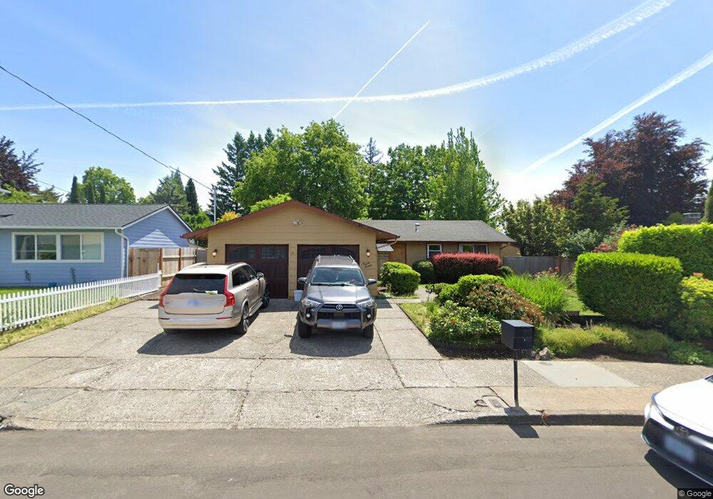
2020 NW 6th Dr Gresham, OR 97030
Northwest Gresham NeighborhoodEstimated Value: $401,000 - $424,000
3
Beds
2
Baths
1,092
Sq Ft
$377/Sq Ft
Est. Value
About This Home
This home is located at 2020 NW 6th Dr, Gresham, OR 97030 and is currently estimated at $411,669, approximately $376 per square foot. 2020 NW 6th Dr is a home located in Multnomah County with nearby schools including Dexter McCarty Middle School, Gresham High School, and Portland Adventist Elementary School.
Ownership History
Date
Name
Owned For
Owner Type
Purchase Details
Closed on
Feb 24, 2003
Sold by
Wachovia Bank Of Delaware Na
Bought by
Carter Thomas W and Lilley Gretchen A
Current Estimated Value
Home Financials for this Owner
Home Financials are based on the most recent Mortgage that was taken out on this home.
Original Mortgage
$110,880
Outstanding Balance
$46,992
Interest Rate
5.93%
Mortgage Type
Purchase Money Mortgage
Estimated Equity
$364,677
Purchase Details
Closed on
Nov 25, 2002
Sold by
Mattingly Robert E
Bought by
Wachovia Bank Of Delaware Na and First Union National Bank Of Delaware
Create a Home Valuation Report for This Property
The Home Valuation Report is an in-depth analysis detailing your home's value as well as a comparison with similar homes in the area
Home Values in the Area
Average Home Value in this Area
Purchase History
| Date | Buyer | Sale Price | Title Company |
|---|---|---|---|
| Carter Thomas W | $138,600 | Fidelity Natl Title Co Of Or | |
| Wachovia Bank Of Delaware Na | $116,102 | Fidelity National Title Co |
Source: Public Records
Mortgage History
| Date | Status | Borrower | Loan Amount |
|---|---|---|---|
| Open | Carter Thomas W | $110,880 | |
| Closed | Carter Thomas W | $20,790 |
Source: Public Records
Tax History
| Year | Tax Paid | Tax Assessment Tax Assessment Total Assessment is a certain percentage of the fair market value that is determined by local assessors to be the total taxable value of land and additions on the property. | Land | Improvement |
|---|---|---|---|---|
| 2025 | $4,072 | $200,110 | -- | -- |
| 2024 | $3,898 | $194,290 | -- | -- |
| 2023 | $3,552 | $188,640 | $0 | $0 |
| 2022 | $3,452 | $183,150 | $0 | $0 |
| 2021 | $3,366 | $177,820 | $0 | $0 |
| 2020 | $3,167 | $172,650 | $0 | $0 |
| 2019 | $3,084 | $167,630 | $0 | $0 |
| 2018 | $2,941 | $162,750 | $0 | $0 |
| 2017 | $2,821 | $158,010 | $0 | $0 |
| 2016 | $2,487 | $153,410 | $0 | $0 |
Source: Public Records
Map
Nearby Homes
- 2095 NW 3rd St
- 1745 NW 7th Place
- 765 NW Angeline Ave
- 970 NW Wonderview Ct Unit 980
- 284 NW Mawrcrest Ave
- 256 NW Mawrcrest Ave
- 296 NW Mawrcrest Ave
- 236 NW Mawrcrest Ave
- 230 NW Mawrcrest Ave
- 185 NW Mawrcrest Ave
- 181 NW Mawrcrest Ave
- 85 NW Mawrcrest Ave
- 44 SW Birdsdale Dr
- 63 NW Mawrcrest Ave
- 21 NW Mawrcrest Ave
- 2543 NW 2nd Terrace
- 1387 NW Riverview Ave Unit 14B
- 2590 NW 2nd Terrace
- 1325 NW 9th St
- 994 NW Wallula Ave
- 2010 NW 6th Dr
- 550 NW Riverview Place
- 2025 NW 5th St
- 2015 NW 5th St
- 520 NW Riverview Place
- 2025 NW 6th Dr
- 1980 NW 6th Dr
- 1985 NW 5th St
- 1985 NW 5th St
- 2005 NW 6th Dr
- 610 NW Cascade Ct
- 625 NW Cascade Ct
- 2060 NW 7th Place
- 1960 NW 6th Dr
- 1975 NW 6th Dr
- 525 NW Riverview Place
- 1965 NW 5th St
- 555 NW Riverview Place
- 2030 NW 7th Place
- 456 NW Riverview Way
Your Personal Tour Guide
Ask me questions while you tour the home.