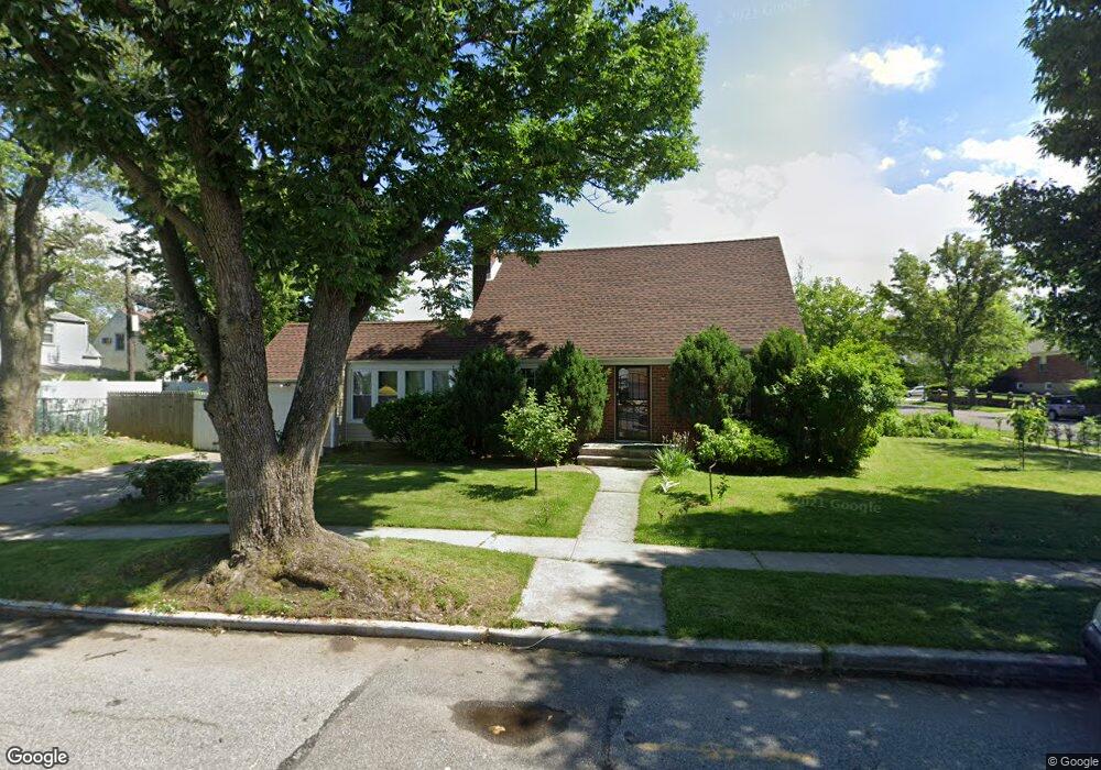
20206 23rd Ave Bayside, NY 11360
Clearview NeighborhoodEstimated Value: $1,118,000 - $1,279,000
4
Beds
3
Baths
1,290
Sq Ft
$919/Sq Ft
Est. Value
About This Home
This home is located at 20206 23rd Ave, Bayside, NY 11360 and is currently estimated at $1,185,899, approximately $919 per square foot. 20206 23rd Ave is a home located in Queens County with nearby schools including P.S. 159 Queens, I.S. 25 Adrien Block, and Bayside High School.
Ownership History
Date
Name
Owned For
Owner Type
Purchase Details
Closed on
Jul 31, 2019
Sold by
Wang Pei Ling
Bought by
Yang Ge
Current Estimated Value
Purchase Details
Closed on
May 14, 2015
Sold by
Boro Estate Buyers Inc
Bought by
Wang Pei Ling
Home Financials for this Owner
Home Financials are based on the most recent Mortgage that was taken out on this home.
Original Mortgage
$470,000
Interest Rate
3.62%
Mortgage Type
New Conventional
Purchase Details
Closed on
Dec 8, 2014
Sold by
Herring Patrick
Bought by
Boro Estate Buyers Inc
Create a Home Valuation Report for This Property
The Home Valuation Report is an in-depth analysis detailing your home's value as well as a comparison with similar homes in the area
Home Values in the Area
Average Home Value in this Area
Purchase History
| Date | Buyer | Sale Price | Title Company |
|---|---|---|---|
| Yang Ge | -- | -- | |
| Wang Pei Ling | $767,000 | -- | |
| Boro Estate Buyers Inc | $550,000 | -- |
Source: Public Records
Mortgage History
| Date | Status | Borrower | Loan Amount |
|---|---|---|---|
| Previous Owner | Wang Pei Ling | $470,000 |
Source: Public Records
Tax History Compared to Growth
Tax History
| Year | Tax Paid | Tax Assessment Tax Assessment Total Assessment is a certain percentage of the fair market value that is determined by local assessors to be the total taxable value of land and additions on the property. | Land | Improvement |
|---|---|---|---|---|
| 2025 | $8,981 | $45,899 | $12,077 | $33,822 |
| 2024 | $8,981 | $44,716 | $13,169 | $31,547 |
| 2023 | $8,549 | $42,564 | $12,102 | $30,462 |
| 2022 | $7,656 | $58,800 | $19,260 | $39,540 |
| 2021 | $8,052 | $58,500 | $19,260 | $39,240 |
| 2020 | $8,096 | $56,940 | $19,260 | $37,680 |
| 2019 | $7,795 | $59,760 | $19,260 | $40,500 |
| 2018 | $7,231 | $35,470 | $12,722 | $22,748 |
| 2017 | $6,865 | $33,679 | $13,825 | $19,854 |
| 2016 | $6,374 | $33,679 | $13,825 | $19,854 |
| 2015 | $3,612 | $31,874 | $14,645 | $17,229 |
| 2014 | $3,612 | $31,053 | $14,801 | $16,252 |
Source: Public Records
Map
Nearby Homes
- 20124 24th Ave
- 21-38 202nd St Unit 1-207
- 21-38 202nd St Unit 2
- 23-14 205th St
- 21-29 Utopia Pkwy Unit UPSTAIRS
- 19929 26th Ave
- 199-27 26th Ave
- 19916 21st Ave Unit 1336
- 199-08 21st Ave Unit 1-327
- 199-05 21st Ave Unit 1st Floor
- 20-19 Utopia Pkwy Unit 1-371
- 201-05 28th Ave
- 26-23 Utopia Pkwy
- 2801 206th St
- 199-39 19th Ave Unit Upper
- 199-11 19th Ave Unit 2-170
- 199-01 19th Ave Unit 2-180
- 166-36 23rd Ave
- 23-18 Corporal Kennedy St Unit A
- 168-12 19th Ave