2021 Bingham Ln Fort Collins, CO 80521
Estimated Value: $703,000 - $779,000
3
Beds
2
Baths
2,199
Sq Ft
$337/Sq Ft
Est. Value
About This Home
This home is located at 2021 Bingham Ln, Fort Collins, CO 80521 and is currently estimated at $740,159, approximately $336 per square foot. 2021 Bingham Ln is a home located in Larimer County with nearby schools including Cache La Poudre Elementary School, Cache La Poudre Middle School, and Poudre High School.
Ownership History
Date
Name
Owned For
Owner Type
Purchase Details
Closed on
Sep 1, 2010
Sold by
Kretchmer Marcia P
Bought by
Obrien Lee E and Maynard Barbara J
Current Estimated Value
Home Financials for this Owner
Home Financials are based on the most recent Mortgage that was taken out on this home.
Original Mortgage
$232,000
Outstanding Balance
$154,282
Interest Rate
4.58%
Mortgage Type
New Conventional
Estimated Equity
$585,877
Purchase Details
Closed on
Nov 23, 2005
Sold by
Bristol Brenda
Bought by
Kretchmer Marcia P
Create a Home Valuation Report for This Property
The Home Valuation Report is an in-depth analysis detailing your home's value as well as a comparison with similar homes in the area
Home Values in the Area
Average Home Value in this Area
Purchase History
| Date | Buyer | Sale Price | Title Company |
|---|---|---|---|
| Obrien Lee E | $290,000 | Tggt | |
| Kretchmer Marcia P | $339,900 | -- |
Source: Public Records
Mortgage History
| Date | Status | Borrower | Loan Amount |
|---|---|---|---|
| Open | Obrien Lee E | $232,000 |
Source: Public Records
Tax History Compared to Growth
Tax History
| Year | Tax Paid | Tax Assessment Tax Assessment Total Assessment is a certain percentage of the fair market value that is determined by local assessors to be the total taxable value of land and additions on the property. | Land | Improvement |
|---|---|---|---|---|
| 2025 | $3,947 | $44,287 | $2,680 | $41,607 |
| 2024 | $3,758 | $44,287 | $2,680 | $41,607 |
| 2022 | $3,001 | $31,435 | $2,780 | $28,655 |
| 2021 | $3,027 | $32,339 | $2,860 | $29,479 |
| 2020 | $2,687 | $28,457 | $2,860 | $25,597 |
| 2019 | $2,699 | $28,457 | $2,860 | $25,597 |
| 2018 | $2,472 | $26,892 | $2,880 | $24,012 |
| 2017 | $2,464 | $26,892 | $2,880 | $24,012 |
| 2016 | $2,465 | $26,769 | $3,184 | $23,585 |
| 2015 | $2,448 | $26,770 | $3,180 | $23,590 |
| 2014 | $2,278 | $24,760 | $3,180 | $21,580 |
Source: Public Records
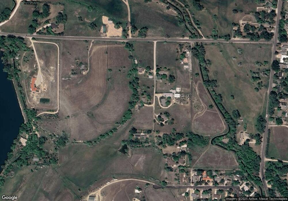
Map
Nearby Homes
- 4516 Bingham Hill Rd
- 3306 Mcconnell Dr
- 2824 N Overland Trail
- 2833 N Overland Trail
- 3328 Mcconnell Dr
- 3075 Headwater Dr
- 3701 Settlers Rd
- 2816 W County Road 54g
- 3405 Post Rd
- 1361 Bubbling Brook Ct
- 1362 Bubbling Brook Ct
- 3408 N Overland Trail
- 4501 Lawrence Ln
- 2720 N County Road 23
- 2801 Farview Dr
- 2205 Stonecrest Dr
- 3501 Raptor Ridge Ln
- 410 High Ct
- 1340 N Taft Hill Rd
- 4520 W County Road 54g
- 2016 Bingham Ln
- 2034 Bingham Ln
- 2003 Bingham Ln
- 2105 Bingham Ln
- 2102 Bingham Ln
- 3605 Bingham Hill Rd
- 3614 Arapahoe Dr
- 3708 Bingham Hill Rd
- 3809 Bingham Hill Rd
- 3608 Arapahoe Dr
- 3516 Arapahoe Dr
- 3512 Arapahoe Dr
- 3699 Arapahoe Dr
- 3609 Arapahoe Dr
- 3508 Arapahoe Dr
- 3921 Bingham Hill Rd
- 3517 Arapahoe Dr
- 3504 Arapahoe Dr
- 3508 Bingham Hill Rd
- 3513 Arapahoe Dr