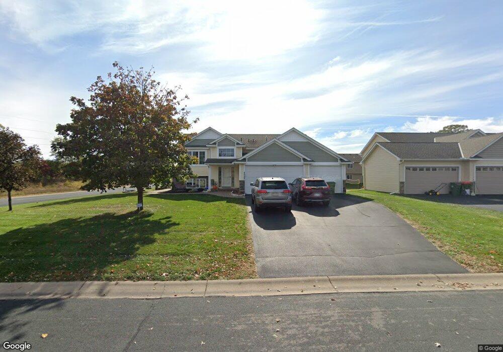
2022 142nd Ln NW Andover, MN 55304
Estimated Value: $418,000 - $466,843
5
Beds
3
Baths
2,438
Sq Ft
$180/Sq Ft
Est. Value
About This Home
This home is located at 2022 142nd Ln NW, Andover, MN 55304 and is currently estimated at $437,961, approximately $179 per square foot. 2022 142nd Ln NW is a home located in Anoka County with nearby schools including Crooked Lake Elementary School, Oak View Middle School, and Andover Senior High School.
Ownership History
Date
Name
Owned For
Owner Type
Purchase Details
Closed on
Jul 1, 2020
Sold by
Dahl Kevin P and Dahl Brooke M
Bought by
Namtvedt Tyler and Namtvedt Heather
Current Estimated Value
Purchase Details
Closed on
Mar 15, 2010
Sold by
Th Construction Of Anoka Inc
Bought by
Shanahan Brooke M and Dahl Kevin P
Home Financials for this Owner
Home Financials are based on the most recent Mortgage that was taken out on this home.
Original Mortgage
$206,150
Interest Rate
4.87%
Mortgage Type
FHA
Create a Home Valuation Report for This Property
The Home Valuation Report is an in-depth analysis detailing your home's value as well as a comparison with similar homes in the area
Home Values in the Area
Average Home Value in this Area
Purchase History
| Date | Buyer | Sale Price | Title Company |
|---|---|---|---|
| Namtvedt Tyler | $349,900 | Results Title | |
| Shanahan Brooke M | $210,000 | -- |
Source: Public Records
Mortgage History
| Date | Status | Borrower | Loan Amount |
|---|---|---|---|
| Previous Owner | Shanahan Brooke M | $206,150 |
Source: Public Records
Tax History Compared to Growth
Tax History
| Year | Tax Paid | Tax Assessment Tax Assessment Total Assessment is a certain percentage of the fair market value that is determined by local assessors to be the total taxable value of land and additions on the property. | Land | Improvement |
|---|---|---|---|---|
| 2025 | $4,087 | $434,800 | $109,800 | $325,000 |
| 2024 | $4,087 | $402,900 | $92,600 | $310,300 |
| 2023 | $3,863 | $411,300 | $92,600 | $318,700 |
| 2022 | $3,654 | $414,600 | $84,200 | $330,400 |
| 2021 | $3,482 | $343,000 | $70,700 | $272,300 |
| 2020 | $3,416 | $320,700 | $67,400 | $253,300 |
| 2019 | $3,152 | $305,800 | $64,300 | $241,500 |
| 2018 | $3,043 | $278,600 | $0 | $0 |
| 2017 | $2,682 | $264,700 | $0 | $0 |
| 2016 | $2,471 | $209,600 | $0 | $0 |
| 2015 | -- | $209,600 | $53,900 | $155,700 |
| 2014 | -- | $170,300 | $35,100 | $135,200 |
Source: Public Records
Map
Nearby Homes
- 14395 Partridge St NW
- 14404 Osage St NW
- 13919 Nightingale St NW
- 14553 Ibis St NW
- 13993 Crosstown Blvd NW
- 14780 Jay St NW
- 2066 151st Ave NW
- 2080 151st Ave NW
- 1184 143rd Ave NW
- 14994 Crane St NW
- 2115 134th Ave NW
- 14023 Yellow Pine St NW
- 1096 142nd Ave NW
- 13871 Eidelweiss St NW
- 917 174th Ave NE
- 15285 Quinn St NW
- 2334 Veterans Memorial Blvd NW
- 2481 132nd Ln NW
- TBD Gladiola St NW
- Lot 5 Gladiola St NW
- 2038 142nd Ln NW
- 2031 142nd Ave NW
- 2054 142nd Ln NW
- 2041 142nd Ave NW
- 2011 142nd Ln NW
- 2031 142nd Ln NW
- 2021 142nd Ln NW
- 2053 142nd Ave NW
- 2045 142nd Ln NW
- 2066 142nd Ln NW
- 2057 142nd Ln NW
- 2067 142nd Ave NW
- 2069 142nd Ln NW
- 2078 142nd Ln NW
- 2040 142nd Ave NW
- 2079 142nd Ave NW
- 2056 142nd Ave NW
- 2056 NW 142nd Ave NW
- 2081 142nd Ln NW
- 2068 142nd Ave NW