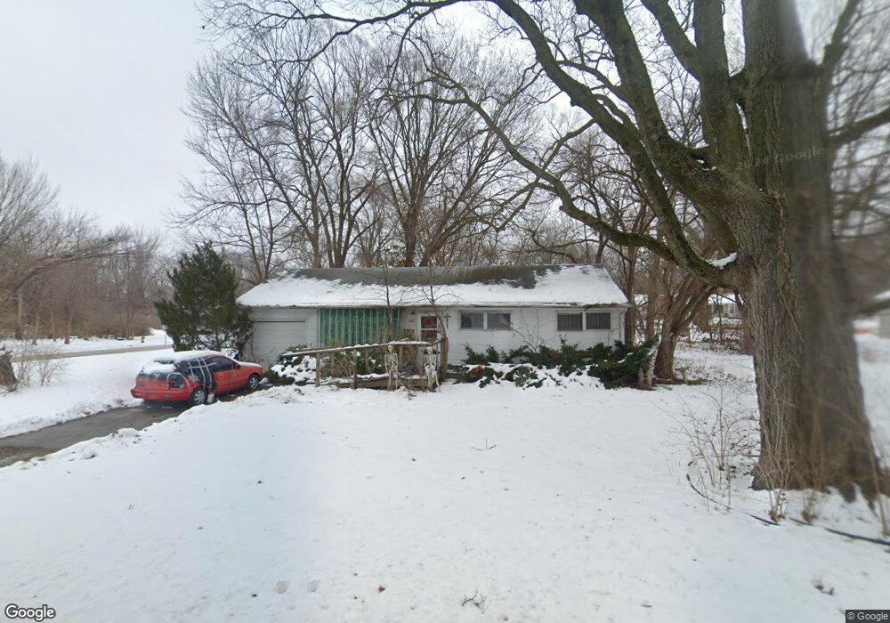
2022 Barker Ave Lawrence, KS 66046
Barker NeighborhoodEstimated Value: $206,019 - $216,000
3
Beds
1
Bath
912
Sq Ft
$232/Sq Ft
Est. Value
About This Home
This home is located at 2022 Barker Ave, Lawrence, KS 66046 and is currently estimated at $211,505, approximately $231 per square foot. 2022 Barker Ave is a home located in Douglas County with nearby schools including Cordley Elementary School, Liberty Memorial Central Middle School, and Lawrence High School.
Ownership History
Date
Name
Owned For
Owner Type
Purchase Details
Closed on
Jul 27, 2006
Sold by
Powers Beth E and Estate Of Mabel Jean Quinlan
Bought by
Powers Dennis R and Powers Beth E
Current Estimated Value
Home Financials for this Owner
Home Financials are based on the most recent Mortgage that was taken out on this home.
Original Mortgage
$107,000
Interest Rate
6.66%
Mortgage Type
Purchase Money Mortgage
Create a Home Valuation Report for This Property
The Home Valuation Report is an in-depth analysis detailing your home's value as well as a comparison with similar homes in the area
Home Values in the Area
Average Home Value in this Area
Purchase History
| Date | Buyer | Sale Price | Title Company |
|---|---|---|---|
| Powers Dennis R | $122,000 | First American Title |
Source: Public Records
Mortgage History
| Date | Status | Borrower | Loan Amount |
|---|---|---|---|
| Closed | Powers Dennis R | $107,000 |
Source: Public Records
Tax History
| Year | Tax Paid | Tax Assessment Tax Assessment Total Assessment is a certain percentage of the fair market value that is determined by local assessors to be the total taxable value of land and additions on the property. | Land | Improvement |
|---|---|---|---|---|
| 2025 | $2,675 | $22,207 | $9,200 | $13,007 |
| 2024 | $2,582 | $21,471 | $8,625 | $12,846 |
| 2023 | $2,673 | $21,126 | $6,900 | $14,226 |
| 2022 | $2,441 | $19,191 | $6,325 | $12,866 |
| 2021 | $2,103 | $15,916 | $5,175 | $10,741 |
| 2020 | $2,068 | $15,732 | $5,175 | $10,557 |
| 2019 | $2,061 | $15,697 | $4,947 | $10,750 |
| 2018 | $1,951 | $14,766 | $4,720 | $10,046 |
| 2017 | $1,794 | $13,455 | $4,720 | $8,735 |
| 2016 | $1,730 | $13,558 | $4,884 | $8,674 |
| 2015 | $1,763 | $13,811 | $4,884 | $8,927 |
| 2014 | $1,746 | $13,811 | $4,884 | $8,927 |
Source: Public Records
Map
Nearby Homes
- 2106 Rhode Island St
- 2115 Massachusetts St
- 2046 Kentucky St
- 2208 Massachusetts St
- 5629 Johnson Ave
- 5701 Johnson Ave
- 5804 Johnson Ave
- 5625 Johnson Ave
- 2301 Massachusetts St
- 1625 Pennsylvania St
- 1625 Delaware St
- 1800 Illinois St
- 1831 Illinois St
- 1736 Brook St
- 1327 New Jersey St
- 314 Oklahoma St
- 2014 Maple Ln
- 1801 Missouri St
- 1141 Connecticut St
- 1708 E 21st Terrace
- 2019 Barker Ct
- 2026 Barker Ave
- 2017 Barker Ave
- 2023 Barker Ave
- 2000 Barker Ave
- 2007 Barker Ave
- 2025 Barker Ave
- 2030 Barker Ave
- 2027 Barker Ave
- 1950 Barker Ave
- 2022 Barker Ct
- 2016 Rhode Island St
- 2024 Barker Ct
- 2010 Rhode Island St
- 2018 Barker Ct
- 2022 Rhode Island St
- 2006 Rhode Island St
- 2000 Rhode Island St
- 2035 Barker Ave
- 2028 Barker Ct
Your Personal Tour Guide
Ask me questions while you tour the home.