2025 Mullan Rd Unit 108 Missoula, MT 59808
Westside NeighborhoodEstimated Value: $429,000 - $455,653
2
Beds
2
Baths
1,510
Sq Ft
$291/Sq Ft
Est. Value
About This Home
This home is located at 2025 Mullan Rd Unit 108, Missoula, MT 59808 and is currently estimated at $439,413, approximately $291 per square foot. 2025 Mullan Rd Unit 108 is a home located in Missoula County with nearby schools including Hellgate Elementary Lower Grades, Hellgate Middle School, and Big Sky High School.
Ownership History
Date
Name
Owned For
Owner Type
Purchase Details
Closed on
Jul 23, 2021
Sold by
Williams Patrick D and Williams Susan M
Bought by
Matranga Jeff and Wilson Jeri
Current Estimated Value
Home Financials for this Owner
Home Financials are based on the most recent Mortgage that was taken out on this home.
Original Mortgage
$275,000
Outstanding Balance
$249,748
Interest Rate
2.96%
Mortgage Type
New Conventional
Estimated Equity
$189,665
Purchase Details
Closed on
Sep 19, 2013
Sold by
2025 Mullan Road Missoula Llc
Bought by
Williams Patrick D and Williams Susan M
Home Financials for this Owner
Home Financials are based on the most recent Mortgage that was taken out on this home.
Original Mortgage
$100,000
Interest Rate
4.36%
Mortgage Type
New Conventional
Create a Home Valuation Report for This Property
The Home Valuation Report is an in-depth analysis detailing your home's value as well as a comparison with similar homes in the area
Home Values in the Area
Average Home Value in this Area
Purchase History
| Date | Buyer | Sale Price | Title Company |
|---|---|---|---|
| Matranga Jeff | -- | First American Title Co | |
| Williams Patrick D | -- | None Available |
Source: Public Records
Mortgage History
| Date | Status | Borrower | Loan Amount |
|---|---|---|---|
| Open | Matranga Jeff | $275,000 | |
| Previous Owner | Williams Patrick D | $100,000 |
Source: Public Records
Tax History Compared to Growth
Tax History
| Year | Tax Paid | Tax Assessment Tax Assessment Total Assessment is a certain percentage of the fair market value that is determined by local assessors to be the total taxable value of land and additions on the property. | Land | Improvement |
|---|---|---|---|---|
| 2025 | $4,577 | $454,400 | $130,000 | $324,400 |
| 2024 | $4,536 | $380,900 | $29,738 | $351,162 |
| 2023 | $4,239 | $380,900 | $29,738 | $351,162 |
| 2022 | $3,553 | $268,000 | $15,388 | $252,612 |
| 2021 | $3,204 | $268,000 | $0 | $0 |
| 2020 | $2,952 | $229,000 | $0 | $0 |
| 2019 | $2,917 | $229,000 | $0 | $0 |
| 2018 | $2,935 | $224,200 | $0 | $0 |
| 2017 | $2,889 | $224,200 | $0 | $0 |
| 2016 | $2,681 | $220,700 | $0 | $0 |
| 2015 | $2,528 | $220,700 | $0 | $0 |
| 2014 | $2,098 | $100,700 | $0 | $0 |
Source: Public Records
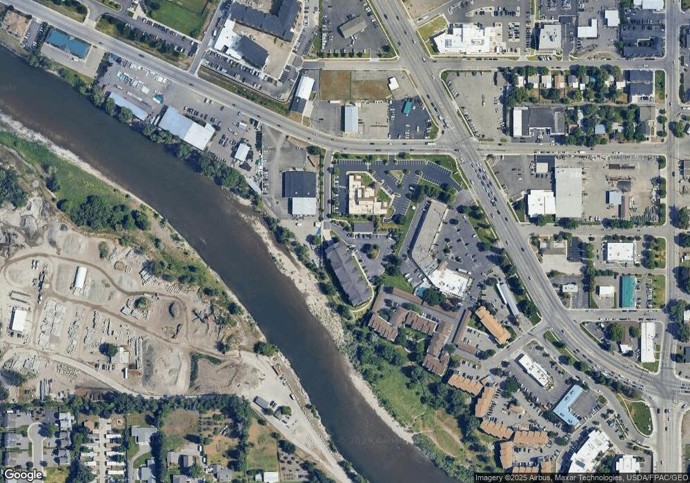
Map
Nearby Homes
- 1950 W Broadway St
- 1839 Sherwood St Unit 11
- 1427 W Broadway St
- 1725 Cooper St
- 1401 Cedar St Unit 21
- Lot 1A Block 6 Montana St
- Lot 2 Block 6 Montana St
- Lot 4 Block 3 Montana St
- Lot 2 Block 3 Montana St
- Lot 3 Block 3 Montana St
- Lot 17B Block 6 Montana St
- Lot 5 Block 3 Montana St
- Lot 1 Block 3 Montana St
- Lot 3 Block 6 Montana St
- 612 N Curtis St
- 513 S Caravan
- 1915 Montana St Unit I
- 1822 Wyoming St Unit G
- 1700 Cooley St Unit 10
- 1261 Idaho St Unit B
- 2025 Mullan Rd
- 2025 Mullan Rd Unit 406
- 2025 Mullan Rd Unit 307
- 2025 Mullan Rd Unit 407
- 2025 Mullan Rd Unit 107
- 2025 Mullan Rd Unit 207
- 2025 Mullan Rd Unit 101
- 2025 Mullan Rd Unit 308
- 2025 Mullan Rd Unit 402
- 2025 Mullan Rd Unit 408
- 2025 Mullan Rd Unit 311
- 2025 Mullan Rd Unit 411
- 2025 Mullan Rd Unit 202
- 2025 Mullan Rd Unit 211
- 2025 Mullan Rd Unit 310
- 2025 Mullan Rd Unit 208
- 2025 Mullan Rd Unit 404
- 2025 Mullan Rd Unit 105
- 2025 Mullan Rd Unit 306
- 2025 Mullan Rd Unit 304