2026 Launa Ave Red Wing, MN 55066
Estimated Value: $480,000 - $539,000
3
Beds
4
Baths
2,478
Sq Ft
$203/Sq Ft
Est. Value
About This Home
This home is located at 2026 Launa Ave, Red Wing, MN 55066 and is currently estimated at $501,994, approximately $202 per square foot. 2026 Launa Ave is a home located in Goodhue County with nearby schools including Sunnyside Elementary School, Burnside Elementary School, and Twin Bluff Middle School.
Ownership History
Date
Name
Owned For
Owner Type
Purchase Details
Closed on
Jun 20, 2025
Sold by
Sperlich Gail Sandra and Nelson Gail Sandra
Bought by
Nelson Gail Sandra and Meyer Allison M
Current Estimated Value
Purchase Details
Closed on
Jul 31, 2018
Sold by
Johnson Delbert and Johnson T
Bought by
Sperlich William M and Sperlich Gail S
Purchase Details
Closed on
Oct 7, 2016
Sold by
Johnson Delbert E and Johnson Nancy L
Bought by
Johnson Delbert E and Johnson Nancy L
Create a Home Valuation Report for This Property
The Home Valuation Report is an in-depth analysis detailing your home's value as well as a comparison with similar homes in the area
Home Values in the Area
Average Home Value in this Area
Purchase History
| Date | Buyer | Sale Price | Title Company |
|---|---|---|---|
| Nelson Gail Sandra | $500 | None Listed On Document | |
| Sperlich William M | $325,000 | -- | |
| T Delbert | -- | -- | |
| Johnson Delbert E | -- | Attorney |
Source: Public Records
Tax History Compared to Growth
Tax History
| Year | Tax Paid | Tax Assessment Tax Assessment Total Assessment is a certain percentage of the fair market value that is determined by local assessors to be the total taxable value of land and additions on the property. | Land | Improvement |
|---|---|---|---|---|
| 2025 | $6,780 | $510,600 | $71,400 | $439,200 |
| 2024 | $6,780 | $501,600 | $71,400 | $430,200 |
| 2023 | $6,222 | $470,100 | $71,400 | $398,700 |
| 2022 | $5,774 | $458,800 | $63,200 | $395,600 |
| 2021 | $5,354 | $388,000 | $63,200 | $324,800 |
| 2020 | $5,286 | $366,300 | $63,200 | $303,100 |
| 2019 | $5,264 | $339,400 | $63,200 | $276,200 |
| 2018 | $4,250 | $341,800 | $61,200 | $280,600 |
| 2017 | $4,190 | $297,100 | $61,200 | $235,900 |
| 2016 | $3,800 | $296,500 | $61,200 | $235,300 |
| 2015 | $3,642 | $283,200 | $61,200 | $222,000 |
| 2014 | -- | $270,900 | $61,200 | $209,700 |
Source: Public Records
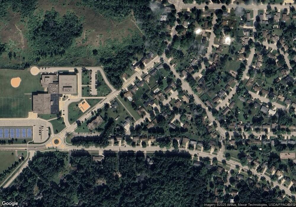
Map
Nearby Homes
- 1927 Twin Bluff Rd
- 1846 Twin Bluff Rd
- 1825 Twin Bluff Rd
- 1838 Spruce Dr
- 1903 Lenore Ln
- 1606 Reichert Ave
- 2345 S Oak Dr
- 1224 Tee Up Ln
- 1632 Spruce Dr
- 769 Pioneer Rd
- 1164 Hawthorn St
- 732 Hi Park Ave
- 1822 Bohmbach Dr
- 672 Hi Park Ave
- 676 Hi Park Ave
- 2351 Hallquist Ave
- 1706 Siewert St
- 639 Hi Park Ave
- 2543 Sunny Meadow Ln
- 611 Cherrywood Ct
- 2034 Launa Ave
- 2018 Launa Ave
- 2027 Twin Bluff Rd
- 2033 Twin Bluff Rd
- 2031 Launa Ave
- 2015 Twin Bluff Rd
- 2025 Launa Ave
- 2010 Launa Ave
- 2039 Launa Ave
- 2009 Twin Bluff Rd
- 2050 Launa Ave
- 2013 Launa Ave
- 1041 Burton St
- 1029 Launa Ct
- 1072 Pioneer Rd
- 1066 Pioneer Rd
- 2045 Twin Bluff Rd
- 2003 Twin Bluff Rd
- 2028 Twin Bluff Rd
- 1058 Pioneer Rd